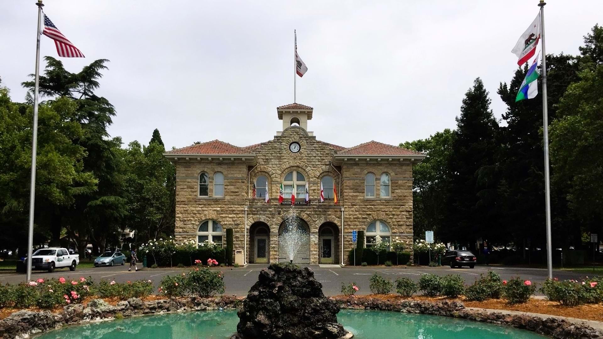
Sonoma, California’s distinctive architectural character reflects layers of history—from the region’s Indigenous communities to its Spanish, Mexican, and early American settlements. Preserving the city’s historical buildings and landmarks requires not only careful planning but also accurate data. For the City of Sonoma, having clear, accessible information is critical to maintaining its historical preservation standards.
For years, the City of Sonoma did not maintain its historical resources inventory in a central database. Information about nationally designated landmarks and historic districts, including their contributing properties, was found in various formats such as spreadsheets, scanned reports, paper files, and surveys in PDF. This created challenges when development applications came in, as a permit is required for modifications to a historical resource. Planning staff had to manually cross-check several sources to determine whether a parcel contained or bordered the historical property.
Historical resources are protected under state and federal law, so all issued building permits must be checked for historical significance. Having easy-to-access data streamlines permitting processes and helps ensure that all eligible resources are regularly evaluated for potential historical designation in accordance with federal guidelines.
Sonoma’s manual workflow was time-consuming, and the lack of a single authoritative dataset often made it difficult for the community development department to quickly respond when other city departments requested historical records or data. To address this, city officials worked with Esri partner Evari Consulting to build a user-friendly central platform that makes historical data simpler for staff to access, maintain, and share both internally and publicly.

A Centralized Historical Resources Platform
Staff at the City of Sonoma wanted quick access to all locally designated properties and linked historical records. Guided by the city’s priority to have an accessible centralized database, the team from Evari used ArcGIS Online to design a centralized, web-hosted database that integrates Sonoma’s historical resources in a single, interactive system.
Evari manually geocoded addresses (converted them into coordinates for mapping) and digitized records for more than 350 historical sites and structures, linking them to existing parcel data. This included local landmarks and properties within Sonoma’s historic districts. Each record features key attributes such as property name, architectural style, and construction year. Historical photos, scanned maps, and designation documents are linked to each property.
After the central database was created, the Evari team used ArcGIS Experience Builder to develop two web applications. The first one—the Sonoma Historic Resources Map—lets anyone explore Sonoma’s historical sites. Users can zoom in on city areas and then click building footprints to explore their historical data and view property photos. This helps the public understand historical district boundaries and the properties within those districts.
Users can search the map by address, filter by architectural style or district, and access supporting documents directly through interactive pop-ups. Residents, property owners, and historians can explore historical sites directly on an interactive map, increasing transparency and engagement in preservation efforts.

The second app enables staff to edit and maintain building and landmark records. Evari used Experience Builder to configure an editable interface that allows authorized users—many of whom have no GIS training—to add or update information. Staff can edit property attributes, upload new photos, or link additional documentation as preservation projects progress.
The system maintains data integrity by controlling editing permissions while remaining flexible for daily use.
Both apps provide staff and the public with an interactive way to explore Sonoma’s built heritage. In addition, the project has eliminated the need for city staff to submit updates through consultants or IT requests, giving the community development department more control over its historical resources data. The previously static archive is now a dynamic inventory that evolves alongside the city’s preservation work.
“Helping the City of Sonoma transform its historic property data into a dynamic GIS system was both exciting and deeply meaningful,” says Katherine Pak, GIS analyst at Evari. “We helped the city reconcile and organize its collection of historic property data into a single, easy-to-manage system.”
An Efficient Approach to Preservation
The benefits of the Historic Resources Map became evident immediately. The authorized user view app gave planning staff the ability to query and visualize historical data, saving time and reducing the risk of overlooking resources during environmental or design reviews. Tasks that once required hours of manual research can now be completed in minutes. It also reduces the need for repetitive data requests from other internal departments, freeing up staff time for higher-value planning and outreach work.
“Before this project, our historic data lived in separate spreadsheets and reports,” says Jennifer Gates, community development director for the City of Sonoma. Now, she says, “Our staff and the public can quickly check whether a parcel is in a historic district or a historic resource—saving time and resources.”

In addition, because the new authorized user view app empowers city staff to perform updates in-house, the city is no longer dependent on external data management contracts. Hosting the data in ArcGIS Online also minimizes maintenance costs by providing a stable, scalable environment without on-premises servers.
The internally accessible app has improved data accuracy and consistency. By having one authoritative database, city staff ensure that all departments—from planning to public works—are getting the same information.
For the public, the user view provides unprecedented access to Sonoma’s cultural heritage. Historical resource consultants and researchers can also use the app to verify data, cross-check their own survey findings, and reference accurate parcel-level information during evaluation of historical structures. This enhances the quality and consistency of preservation documentation across the region.
The Future of Preservation
This project demonstrates how GIS can support preservation as an active planning function. Sonoma’s digital inventory is now the foundation of preservation planning, design review, and heritage tourism initiatives. By centralizing historical documents, maps, and records, the system safeguards valuable information and continues to expand Sonoma’s digital archive.
Both the City of Sonoma and Evari view this project as just the beginning. City staff hope to use the platform for public education, hosting virtual walking tours that showcase Sonoma’s diverse architectural styles and historical narratives. By leveraging the new digital foundation, Sonoma will be able to conduct future surveys more efficiently and accurately, ensuring that its historical inventory remains current and comprehensive.
“This project gives us a strong foundation for managing our historic resources well into the future,” Gates says. “We can now update our inventory in-house, link new studies and photos, and expand the system as our community grows.”

The Sonoma Historic Resources Map web app demonstrates how even small municipalities can use GIS to modernize preservation management and improve planning workflows. The Evari team believes this project shows how cloud-based tools can help other small cities and towns—with limited in-house GIS resources—manage historical data efficiently.
“The web-based map turned our historic archive into a living, interactive planning tool,” Gates says.
For more information about this project, contact Eva Friedberg, president of Evari Consulting.