What better way to celebrate GIS Day than to host or attend an open house or a workshop that demonstrates the power of mapping.
This year’s worldwide GIS festivities will occur November 15, and already there are hundreds of events planned in North America, South America, Africa, Asia, Europe, Australia, and New Zealand. For example, the Center for Spatial Studies at the University of Redlands in California will host an open house with hands-on GIS demonstrations and games.
There are at least seven things you can do to get your organization involved in GIS Day or personally get in on the action:
1. Be aware! What is GIS Day? It’s a day set aside to provide an international forum for GIS technology users to demonstrate real-world applications that are making a difference in our society. The first formal GIS Day took place in 1999. Esri president and cofounder Jack Dangermond credits Ralph Nader with being the person who inspired the creation of GIS Day. He considered GIS Day a good initiative for people to learn about geography and the uses of GIS, and he wanted GIS Day to be a grassroots effort, open to everyone to participate.
2. Host an event. A school, community or technical college, university, nonprofit organization, library, private company, or government agency can sponsor a workshop, open house, map gallery, showcase, career fair, or presentation on November 15 or anytime during GIS Day week, which this year is November 12–18. Post an announcement about your event on www.gisday.com.
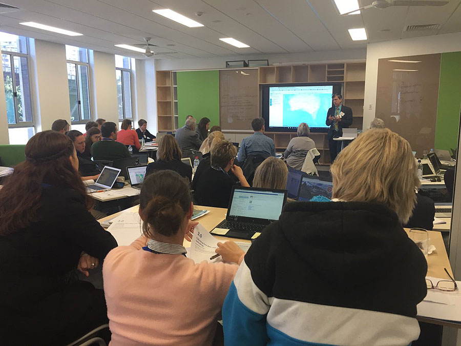
It doesn’t have to be a huge event, but rather something where you open a section of your organization to the community; other departments in your organization; or local schools, universities, community colleges, and clubs to showcase what GIS is and what you are doing to make a positive difference in the world using the technology. Still stumped for ideas? See what other organizations have done for GIS Day. [PDF]
3. Show what GIS can do! If you don’t work for an organization that uses GIS but you just want to promote the technology, give a workshop using some easy-to-use yet powerful GIS tools, such as Survey123 for ArcGIS for collecting data in the field; ArcGIS Online to show ocean currents, earthquakes, or demographic characteristics in your own community; and web mapping apps, such as the ChangeMatters viewer, to compare imagery over time. You also can create or showcase some Esri Story Maps apps.
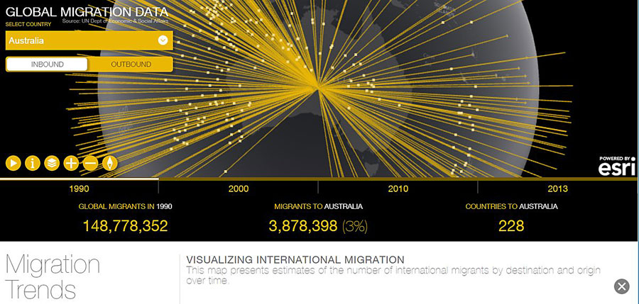
4. Attend an event! View the map on the GIS Day website to find an event near you that you can attend. Invite a colleague at work or a friend.
5. Discover the resources on the GIS Day website. Over the past year, the website has been substantially improved. You will find story maps, hands-on activities, videos, strategies on how to work with students of all ages, information about how to work with the public, and much more.
6. Get some geoswag! The first 250 organizations that register their event for this year’s GIS Day will receive a box of wonderful GIS-related items, such as stickers, books, and shirts, which can be used to promote their event.
7. Be a GIS champion! We want to highlight organizations from around the world that are GIS and GIS Day champions and acknowledge them for the good things they are doing. The stories will be featured on GeoNet and in ArcWatch and other outlets. Videos are welcome too! Please send your suggestions on organizations that should be included in the stories to gisday@esri.com.
For more information about GIS Day, visit the GIS Daywebsite. Follow GIS Day on Twitter @GISday or visit the GIS Day Facebook page.
