Will Arizona Run Out of Water? The Arizona Water Blueprint, Arizona State University’s New Water Mapping Tool, Visualizes the Data and Tells the Story
Do communities in Arizona have a guaranteed water supply?
Is ocean desalination the future of drinking water for Arizona residents?
Do you know what percentage of Arizona’s water comes from the Colorado River?
Water is a critical issue in Arizona, and a new water-mapping tool created by the Kyl Center for Water Policy at Arizona State University (ASU) can help Arizonans answer questions like these using the Arizona Water Blueprint, a vast array of online maps and datasets that show a wide-ranging view of water in the state.
The Arizona Water Blueprint visualizes information on groundwater, rivers, agricultural irrigation, dams, ocean desalination, critical species, and other topics that are important not only to policy makers but also to any Arizonan concerned about water. Some of the web maps on the site were created using ArcGIS Pro and the mapping applications were developed using configurable ArcGIS Online apps.
The first-of-its-kind map creates a holistic view of water in Arizona—a view that was missing, according to Sarah Porter, director of the Kyl Center for Water Policy.
“We’re in a lot of meetings about water planning and water resources at various levels, and we often see how this blueprint will make the conversation much more informed,” she said.
Porter and Susan Craig, water policy analyst for the Kyl Center and the project’s manager, got the idea for the tool after talking to local officials who often need to think regionally about water. One even carried a hand-drawn map around as a visual aid.
So Porter and Craig met with dozens of water, conservation, and development experts as well as agency heads to ask what they needed. Then Porter and Craig held 16 design workshops around the state, engaging hundreds of participants.
“In every meeting, we got feedback that made us realize new values and uses that we hadn’t anticipated before,” Porter said. “It’s important to us that this was really a crowdsourced process.”
The Arizona Water Blueprint got startup funding from the Salt River Project (SRP) power and water utility as well as help on cartography and videos. Much of the work to put everything together was done by ASU students.
The tool has three main components: a how-to guide with video tutorials, the ArcGIS map, and a story map gallery that contains story maps that elaborate on popular topics.
The gallery includes “Arizona’s Water Story,” which covers the history of and includes maps, photos, and explanations about the state’s water issues. An infographic shows that the state’s supply comes from four sources: groundwater (40 percent), the Colorado River (36 percent), in-state rivers, (21 percent), and reclaimed water (3 percent).
The classic Esri Story Maps Shortlist template is used in the story “Augmentation Concepts,” which explores water augmentation projects that are intended to move water or create more potable water, such as desalination. Each project explanation describes environmental impacts and lists potential drawbacks.
“Sarah and I always say [that] if you’re at any water meeting, ocean desalination always comes up as the next big bucket of water in Arizona,” Craig said. “There are a lot of augmentation projects being done in Arizona, but they come at a price.”
Some of the projects are controversial. One proposal would take groundwater in Yuma, desalinate it, then use some for agricultural irrigation around Yuma and move the rest to Phoenix and Tucson.
“Some of the Yuma people think, ‘Why should Phoenix and Tucson take our groundwater?'” Porter said.
As for ocean desalination, there’s a proposed project near the Sea of Cortez in Sonora involving a partnership between the United States and Mexico that’s detailed in “Augmentation Concepts.” But the story reveals that any freshwater generated would be very expensive and the process could damage the environment.
Some of the augmentation projects are on official state lists, while others come from the design workshops. And more projects can always be added.
“If someone says, ‘We want to capture water from air,’ we would run it by our advisory board to make sure we have experts affirming it and that we should include it,” Porter said.
The Arizona Water Blueprint’s ArcGIS map will not be static. Portions use open-source data that is automatically updated—this was a big concern voiced at the workshops because many maps are created but quickly become obsolete, Porter said. Each of the 44 map layers of the blueprint will be reviewed annually.
Porter and Craig said that besides providing the detailed information, the tool is valuable because it was created by a nonpartisan group that has no agenda. The Kyl Center for Water Policy is part of the Morrison Institute for Public Policy.
The water map launch coincided with the anniversary of Arizona’s 1980 Groundwater Management Act, signed 40 years ago last June. The landmark legislation paved the way for better infrastructure and helped to reduce water consumption in the state.
According to Porter, people often lose sight of the goals of this type of legislation as time passes.
“Then we get a new governor and we have a new statewide planning effort,” Porter said. “One of the powerful things we can do with this blueprint is to keep these big steps out there and alive.”
While the tool is helpful for policy makers, residents can find important information too.
“One layer [shows] critical habitats all around Arizona, and you can see the very strong connection between water and threatened and endangered species, especially [in] important bird areas,” Craig said.
Another map layer is for active management areas (AMAs).
“Am I in an area where groundwater is aggressively managed, or am I in an outlying area where’s there’s not a lot of regulation and there’s a lot of opportunity for a well to go dry?” Craig said.
Arizonans are worried about the water supply. A statewide poll done by the Morrison Institute last year ranked water as the most important policy issue in Arizona, with 80 percent of respondents agreeing it was important. Less than one-quarter of respondents believed that the state has enough water to meet its needs in the foreseeable future.
“About two-thirds expressed the desire to understand water management better,” Porter said. “This is an incredibly beautiful [tool] that provides a much more vivid way to learn about water than a book with a lot of text.”
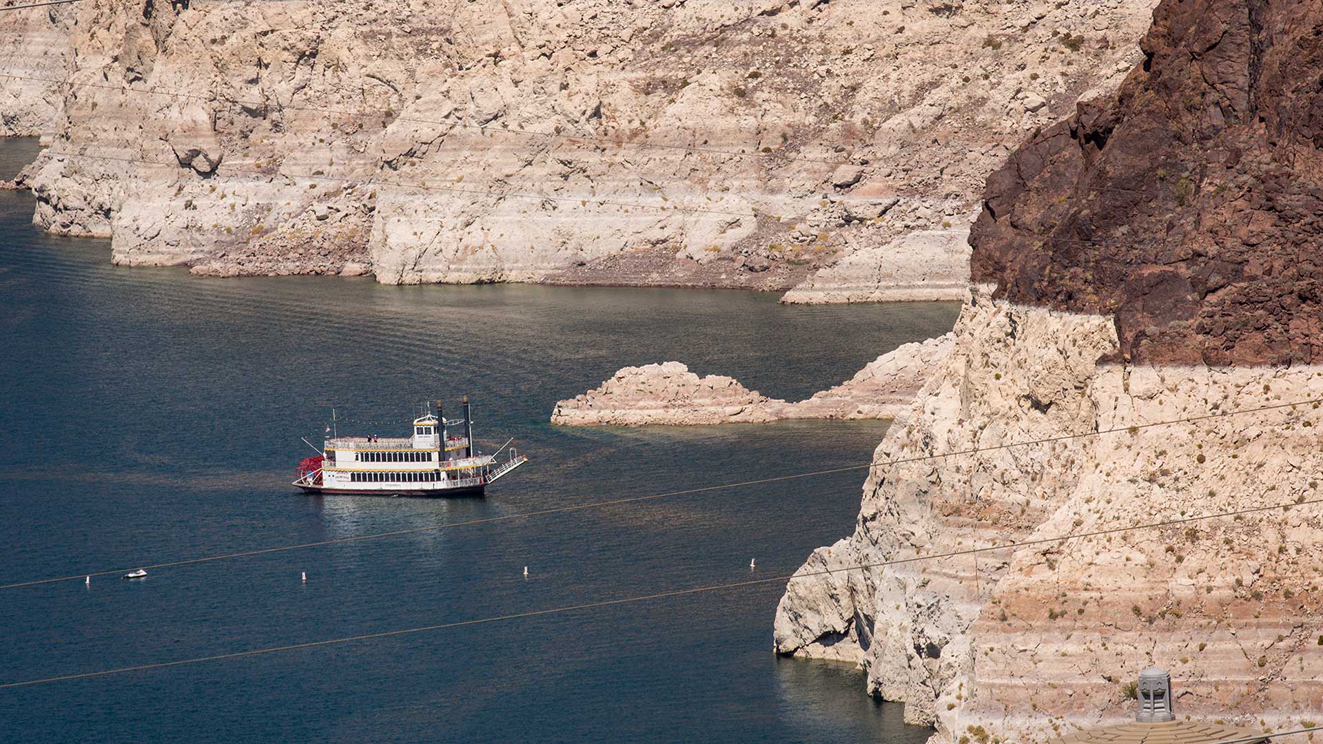
Top image of Lake Mead in 2016 by Charlie Leight/ASU Now
