
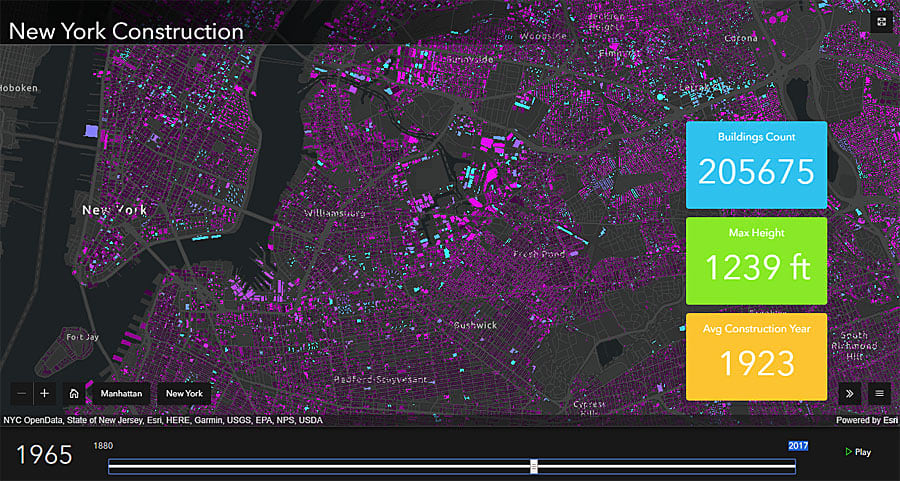
Going to the Esri Developer Summit (DevSummit) is a lot like speed dating with Esri technology.
First, attendees receive brief introductions to new capabilities in Esri’s mapping, analytics, data science, 3D, and app development technologies at the Plenary Session.
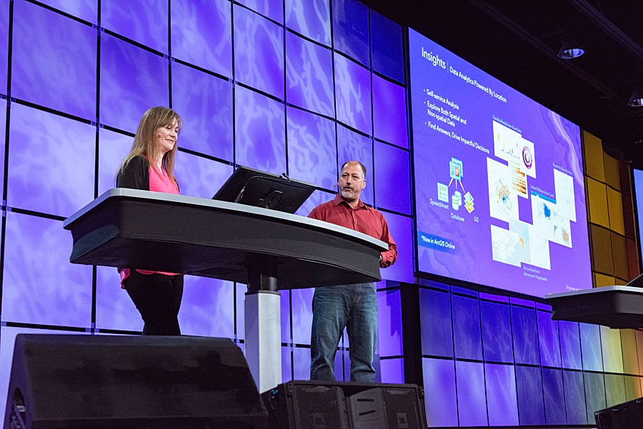
Next, people get to know the technology better by going to the tech sessions, Demo Theater presentations, and the Esri Showcase. A familiar sight at the Palm Springs Convention Center: attendees scanning the agenda on their mobile phones before they scramble to get to the next session. Should they go to “ArcGIS Pro SDK for .NET: An Overview of the Geodatabase API” or “ArcGIS Runtime: An Introduction to the API and Architecture,” both at 1:00 p.m.? Or is seeing the Demo Theater presentation “ArcGIS Pro SDK for .NET: Getting Started,” also at 1:00 p.m., the better choice?
Though sessions are often repeated, there’s a lot of information to take in, remember, and digest in a short amount of time.
To reinforce the key points to remember from this year’s DevSummit, David Cardella, product manager for developer technologies at Esri, compiled the following top 10 takeaways and links to noteworthy, corresponding DevSummit Plenary presentations. This list is useful whether you missed this year’s event or were in the middle of the action.
Takeaway 1: ArcGIS API for JavaScript gives you the capabilities to build apps that perform well. By leveraging Web Graphics Library (WebGL), hundreds of thousands of features can be displayed, edited, and analyzed on a map without the need for browser plug-ins. Watch this presentation by Yann Cabon to learn more.
Takeaway 2: The ArcGIS platform contains powerful analytics tools for developers. To see examples of what type of analytics you can do, view the Insights for ArcGIS, Analysis in ArcGIS Pro, and Data Science with Pythonpresentations.
Takeaway 3: ArcGIS Pro comes with a powerful software developer kit (SDK) that lets you completely customize your users’ workflows.ArcGIS Pro SDK for the Microsoft .NET Framework offers two extensibility patterns: solution configurations and add-ins. See how these two patterns work by watching this presentation by Rich Ruh.
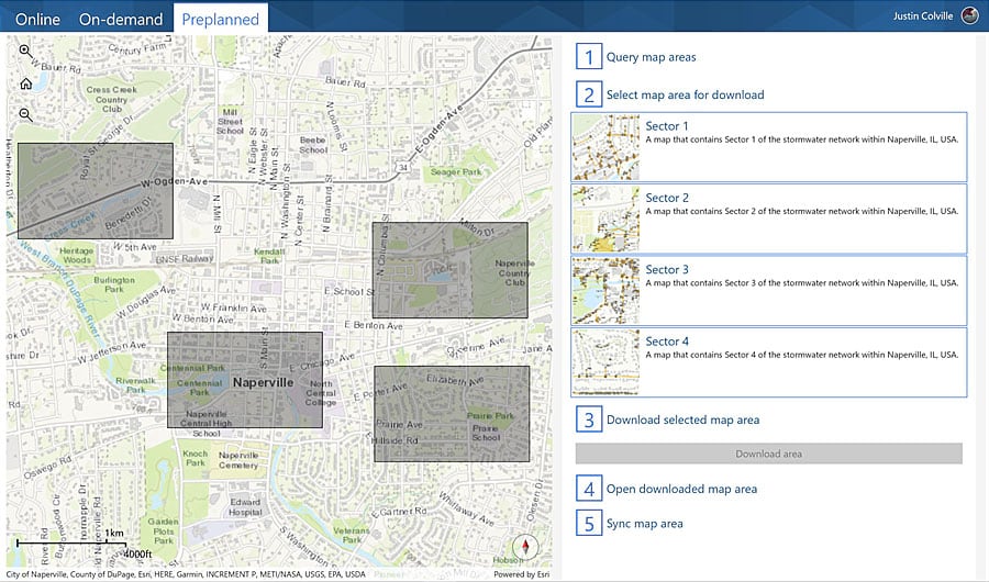
Takeaway 4: ArcGIS Runtime SDKs have an offline map task that simplifies the process of downloading and working with maps and map layers locally on your device. You can build apps that can go offline using the on demand or preplanned workflows demonstrated in Justin Colville’s presentation.
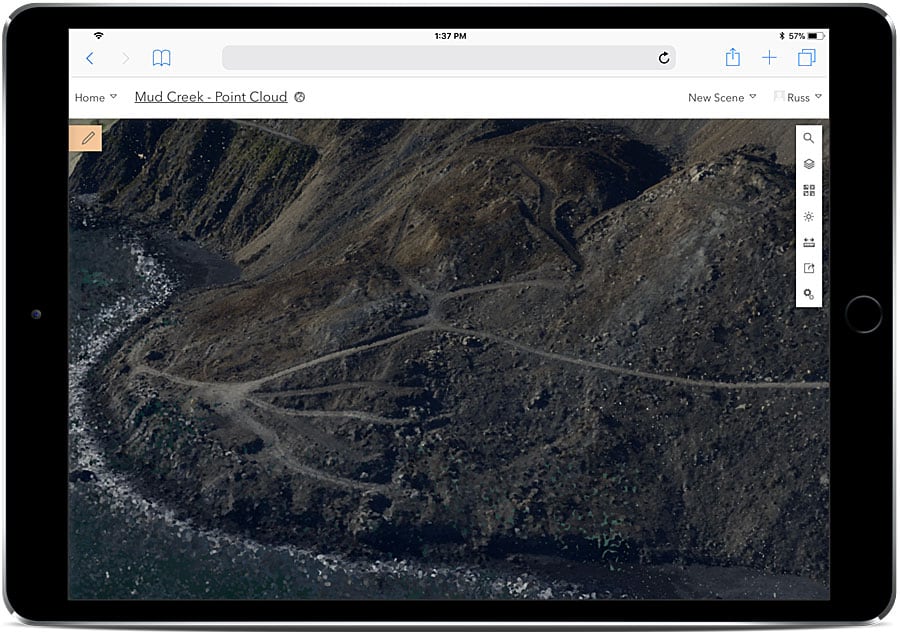
Takeaway 5: Using ArcGIS API for JavaScript, you can build 3D web apps that run on all your mobile devices. Javier Gutierrez demonstrates how in this presentation.
Takeaway 6: Python is the scripting language for ArcGIS Pro.Esri has introduced encrypted Python toolboxes that allow you to hide sensitive data from unauthorized people. You also now have the ability in ArcGIS Pro to send tools directly to the Python Window. You can also interactively debug your Python script tools directly from ArcGIS Pro. To learn more, watch Shaun Walbridge’s presentation.
Takeaway 7: Get real with augmented reality (AR) and virtual reality (VR). AR/VR is all about providing immersive experiences. This presentation by Euan Cameron, Adrien Meriaux, and Rex Hansen shows what capabilities are available and explains how you can join the private beta program.

Takeaway 8: Reduce development costs and get your app into production faster by using web maps and web scenes in your app. All Esri APIs have been engineered to support this Web GIS pattern. To learn more about the benefits of using the pattern, watch Cardella’s presentation.
Takeaway 9: Automation of ArcGIS Enterprise can save you time creating data products and performing analysis. ArcGIS API for Python lets you automate the configuration of your portal, data, and maps. See it in action in this presentation by Jay Theodore.
Takeaway 10: ArcGIS is a mapping, location, and analytics platform for developers. Check out the resources available to developers at all skill levels by watching this presentation, which automatically starts at the 1:40 mark.
