displaying 1246 results
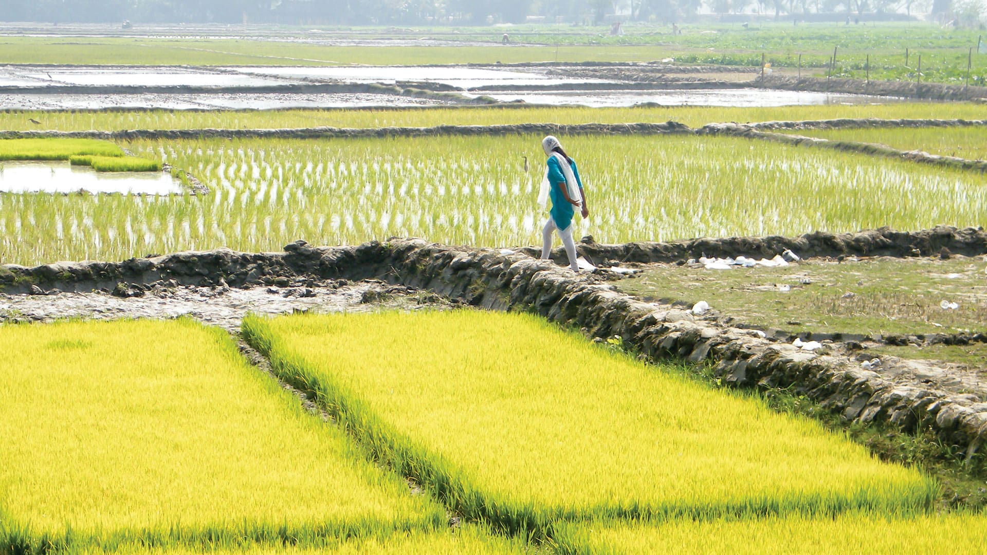
The new Agri-GIS app is bridging the spatial analytics gap in Indian farming communities.
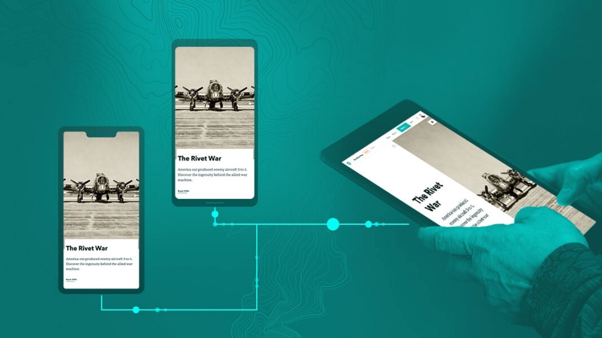
ArcGIS StoryMaps has several new features to help users design and tell their stories more creatively.

Accurate street data can mean all the difference—it can save lives as well as money.

The world’s largest GIS conference will be held July 20–24, 2015 in San Diego, California.
The Collector for ArcGIS and Operations Dashboard for ArcGIS apps were recently updated with notable enhancements to better support users' work…
More and better button user inputs and support for a new GNSS receiver. Learn more about updates to ArcGIS QuickCapture.
Staff at Telluride Ski & Golf explain how they use a cloud-based geospatial infrastructure or digital twin to manage operations.
The Cedar CT8 provides high accuracy GNSS capabilities for collecting and communicating data using ArcGIS field apps.
What GIS apps do fire agencies need to plan for and respond to incidents and then analyze performance?
Esri product engineer Kevin Burke explains how to get the most out of the high accuracy data collection capabilities in Collector for ArcGIS.
Irish Water is using GIS to complete a project to repair or replace leaking water pipes in Ireland.
Esri offers Spike, a laser measurement device from ikeGPS that, when used with Survey123 for ArcGIS, makes taking measurements fast and easy.