displaying 173 results
Residents of Emerald Isle now have a real-time view of where yard debris trucks are at any given time, improving government transparency.

Transportation startups Match Rider and MetroTech leveraged the Esri Startup Program to connect travelers to one another and keep traffic moving.
Interested in developing apps using Esri geospatial technology? Then stop by DevSummit DC, on February 11, 2015...

A Colorado-based railroad management company is maximizing asset value by using ArcGIS Field Maps and a custom GIS app.
On most Tuesday nights in downtown Chicago, a group of “hactivists” gathers to work on making their city a better place to live.
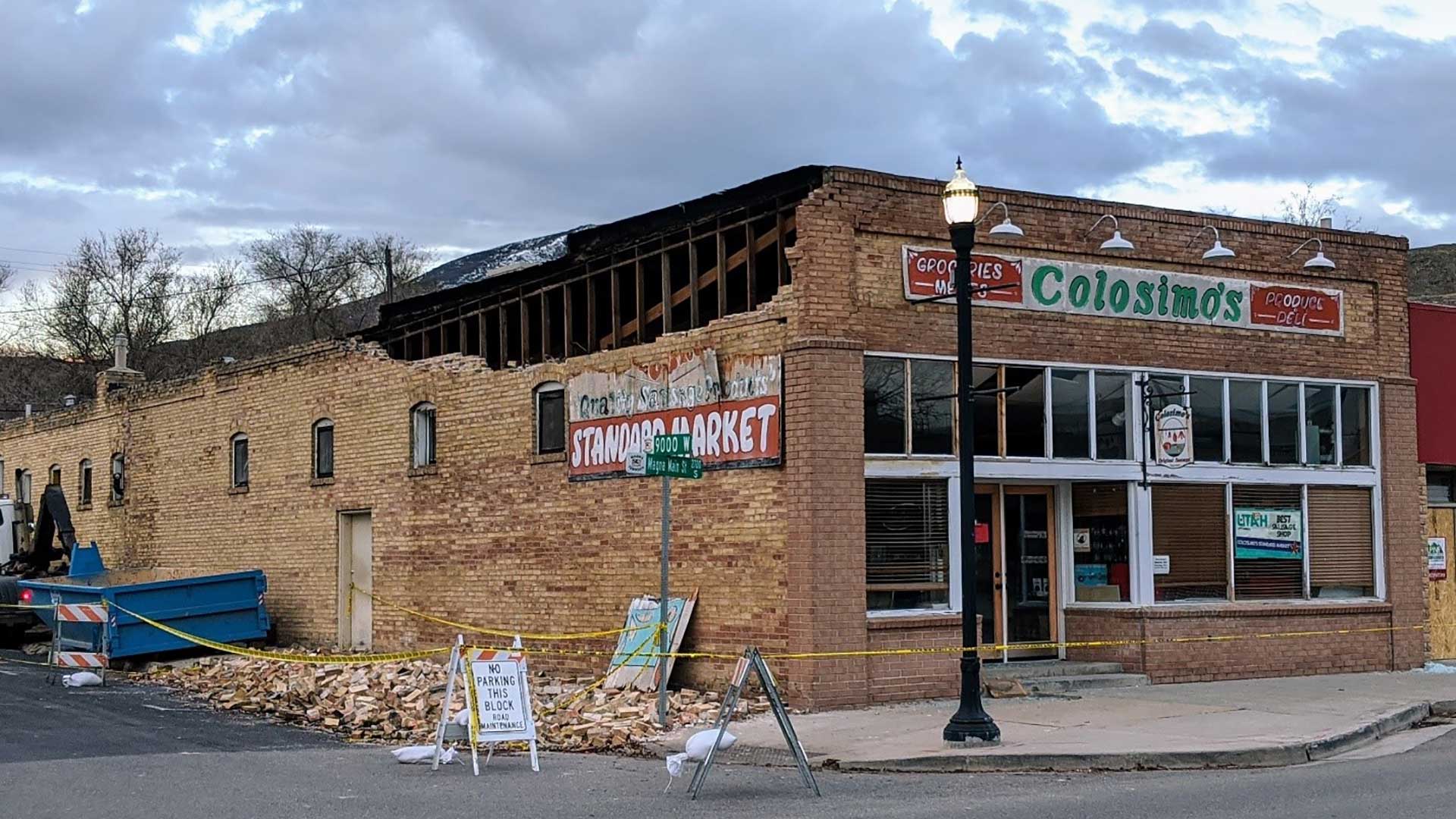
The Greater Salt Lake Municipal Services District (MSD) used GIS to respond to an earthquake in Magna, Utah.
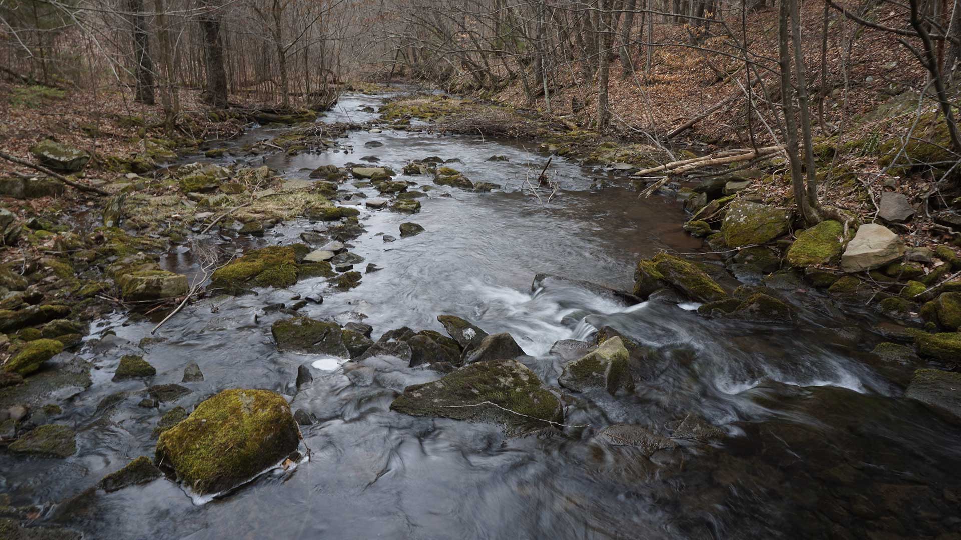
Pennsylvania plants trees precisely to maximize water improvement using GIS.
Learn how to work with the dashboard theme in ArcGIS Web AppBuilder to add an infographic using an external data source.
With Hurricane Irma barreling toward south Florida last September, the City of Fort Lauderdale's GIS team jumped into action.
16,000 geogeeks gather in San Diego, California, to learn, teach, share, network, collaborate, and just have fun at the Esri User Conference.
Use these 10 ideas to put on a GIS Day program that people will remember long after the last piece of GIS Day cake is eaten.