displaying 602 results
Frank Avila from NGA talks about the agency's interest in AI, the growth of the small satellite market, and advances in hyperspectral imagery
The City of Nacogdoches, considered the oldest town in Texas, has significantly expanded its GIS program over the last seven years.
Success in the commercial real estate requires more than just hard work; agents and property assessors must tell compelling stories.
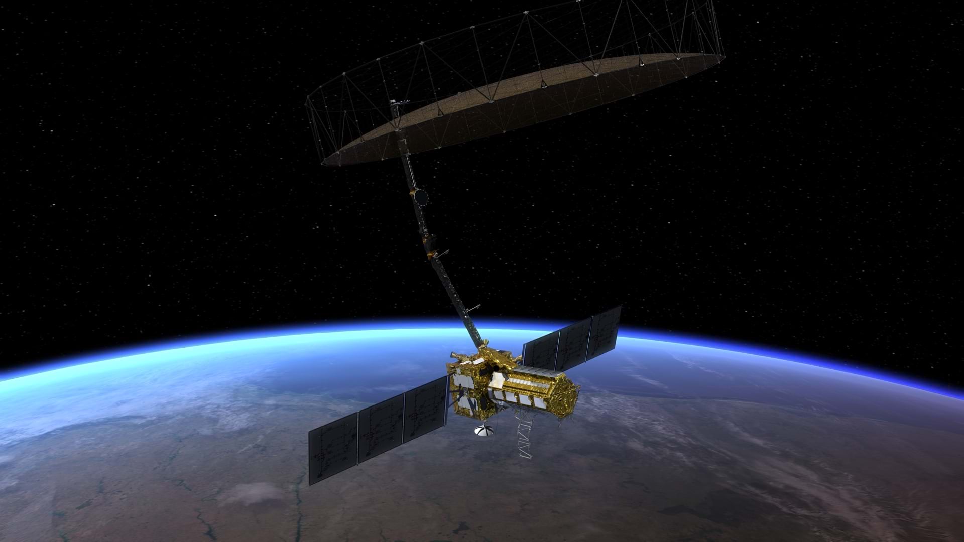
A once-classified satellite technology, synthetic aperture radar (SAR), is being commercialized and used to track all manner of changes on Earth.
Drone landing pads, ride share areas, and other lucrative uses of real estate await property owners willing to think creatively.
Esri is hiring people with all levels of experience for positions at its headquarters, regional offices, and R&D Centers.
National Geospatial-Intelligence Agency deputy director Susan (Sue) Gordon discusses the agency's migration to a cloud-native environment.
Geodesign is about holistic design and communication.
Location is fundamental to all aspects of business, from deciding where to locate a new store to where to market to new customers.
GIS helps the DC Office of Planning understand, plan, and communicate zoning changes to historic districts.
UAS or drones are great for capturing high-resolution aerial imagery and 3D terrain content for GIS.


