displaying 4360 results

Search and rescue team combines drones and ArcGIS to effectively respond to flash flood in the city of Wimberley, Texas.

Attendees of the 2018 Esri Developer Summit share why they came and what they learned.
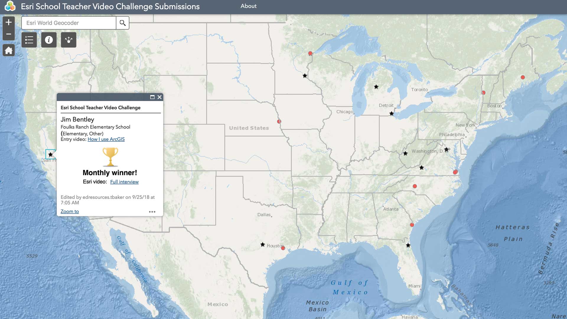
The Esri K–12 Teacher Video Challenge showcases the outstanding work of teachers who are using ArcGIS Online and Esri teaching materials.