displaying 4360 results
Esri’s ArcGIS Apps for the Field can work together by employing a custom URL scheme.

Esri and Autodesk have a new relationship and will integrate spatial intelligence with 3D design model information.
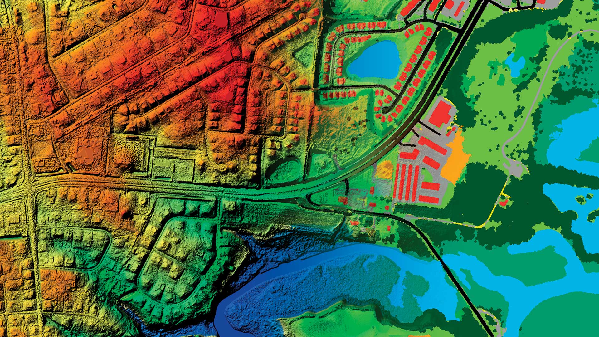
Huge analysis jobs are suddenly possible with raster analytics capabilities across the ArcGIS platform.
Esri's new Education Ambassador program made inroads with students in Ghana...
In some cases, it’s preferable to chart data rather than map it. Cooper Thomas of Esri shows you how to work with charts in ArcGIS StoryMaps.
In his Mostly Mapping blog on GeoNet, Esri technology evangelist Bern Szukalski highlights Esri configurable apps that were used to build...
Seeing your ArcGIS Online user profile is how your colleagues and peers measure the value and veracity of your shared items such as maps and apps
This story map was created with the Story Map Cascade application in ArcGIS Online.
This story map was created with the Story Map Cascade application in ArcGIS Online.
Learn to transform your SharePoint list into multiple views and use them as layers in ArcGIS for SharePoint.
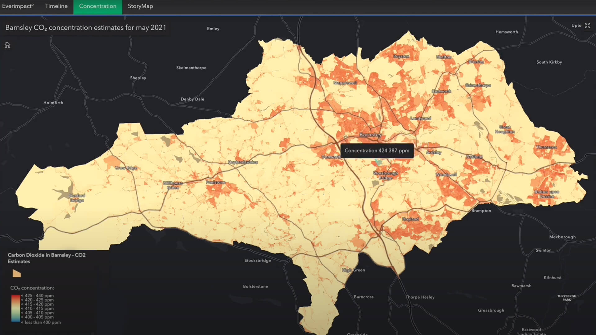
A new emissions-mapping app signals the growing transparency of climate data—and the heightened risk for businesses that don't respond.