displaying 4359 results
The first person to register for this summer's Esri User Conference leads an organization that uses cutting-edge GIS technology today.
The world we know and love and call “GIS” has grown by many orders of magnitude since Roger Tomlinson coined the acronym in the 1960s.
ArcMap includes a catalog window you can use to organize and manage various types of geographic information.
When a power outage occurs, GIS and dashboards can give utility managers up-to-the-minute access to real-time, accurate information...
Miele, Inc., which sells high-end appliances such as smart ovens and sleekly designed vacuum cleaners, finds niche markets using Esri Tapestry...
Whether you are an ArcGIS Online subscriber or an ArcGIS Hub user, you can launch an open data site.
ArcGIS provides tools for routing and transportation network analysis. Once routing and analysis is completed in ArcGIS Pro or ArcGIS Online...
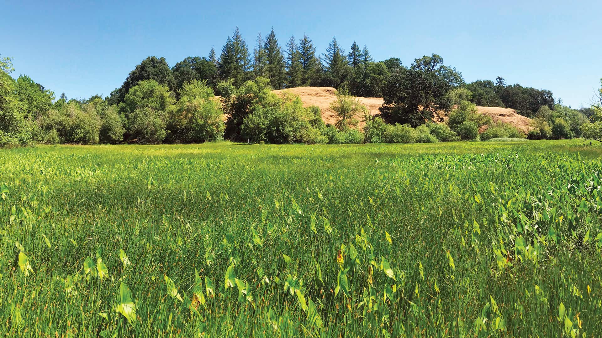
Employing geodesign and translational ecology, Plas Newydd Farm is restoring 876 acres of farmland to its native Pacific Northwest habitat.

The NOAA Chesapeake Bay Office used advanced GIS to carefully revitalize and build new oyster reefs. The results are exceeding expectations.

With the Esri Redistricting solution, the state made the process of revising legislative boundaries much more transparent.
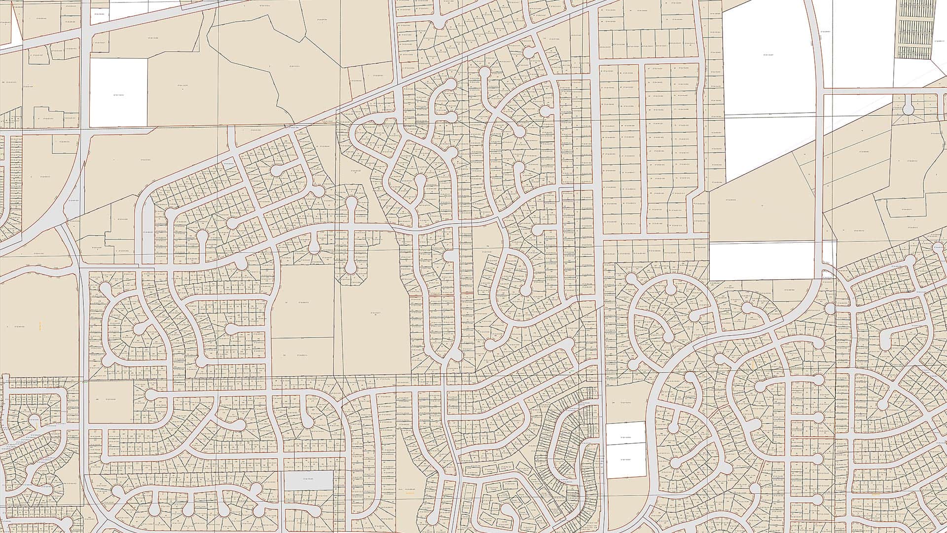
Using the Esri parcel fabric, Fauquier County, Virginia, now maintains its tax parcel data at a much higher level of accuracy than it did before.
Esri offers US customers the Cedar CT8X2 rugged tablet for use with ArcGIS Field Maps to streamline your field data collection workflows.