displaying 4368 results
ArcGIS provides tools for routing and transportation network analysis. Once routing and analysis is completed in ArcGIS Pro or ArcGIS Online...
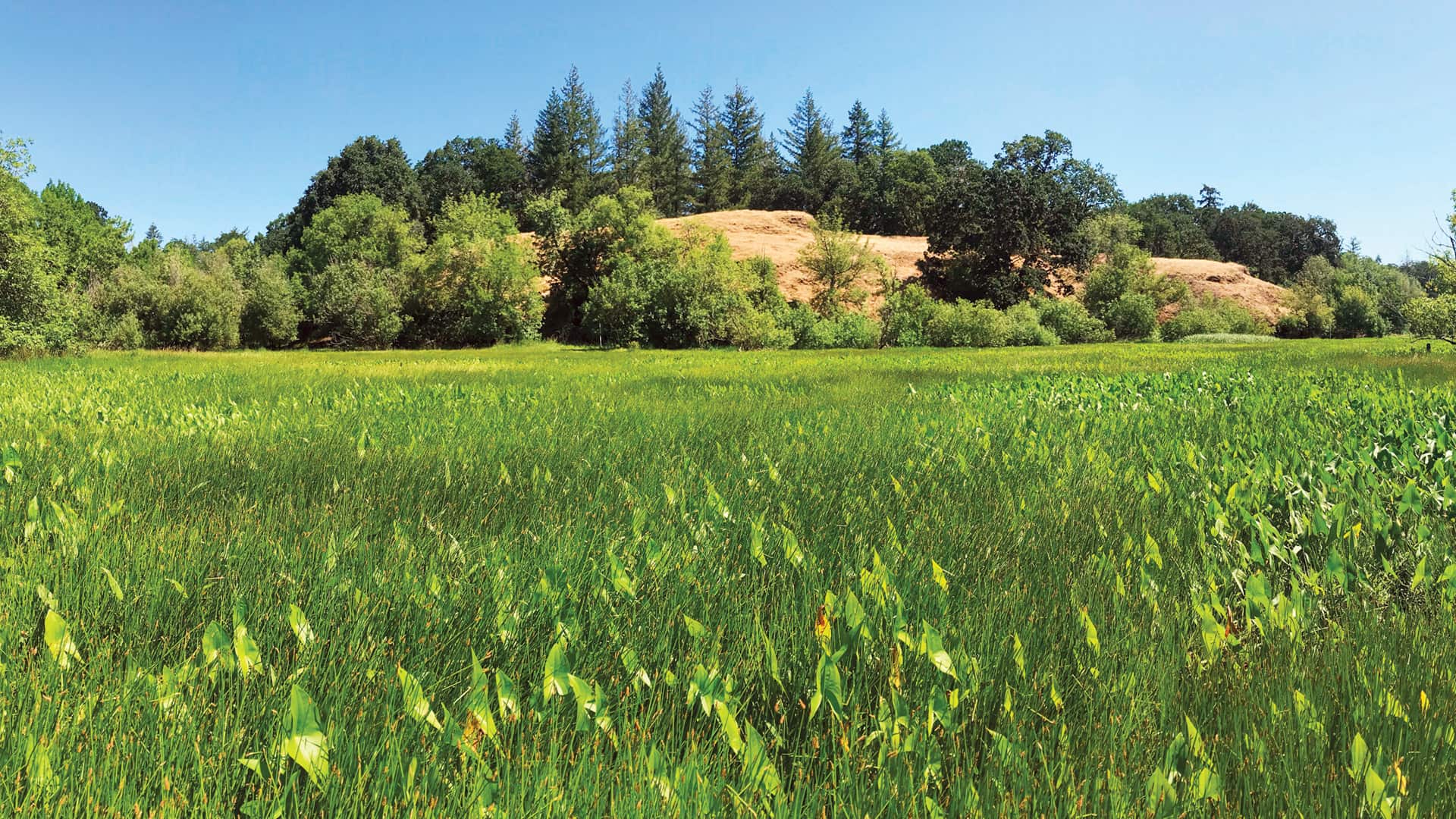
Employing geodesign and translational ecology, Plas Newydd Farm is restoring 876 acres of farmland to its native Pacific Northwest habitat.

The NOAA Chesapeake Bay Office used advanced GIS to carefully revitalize and build new oyster reefs. The results are exceeding expectations.

With the Esri Redistricting solution, the state made the process of revising legislative boundaries much more transparent.
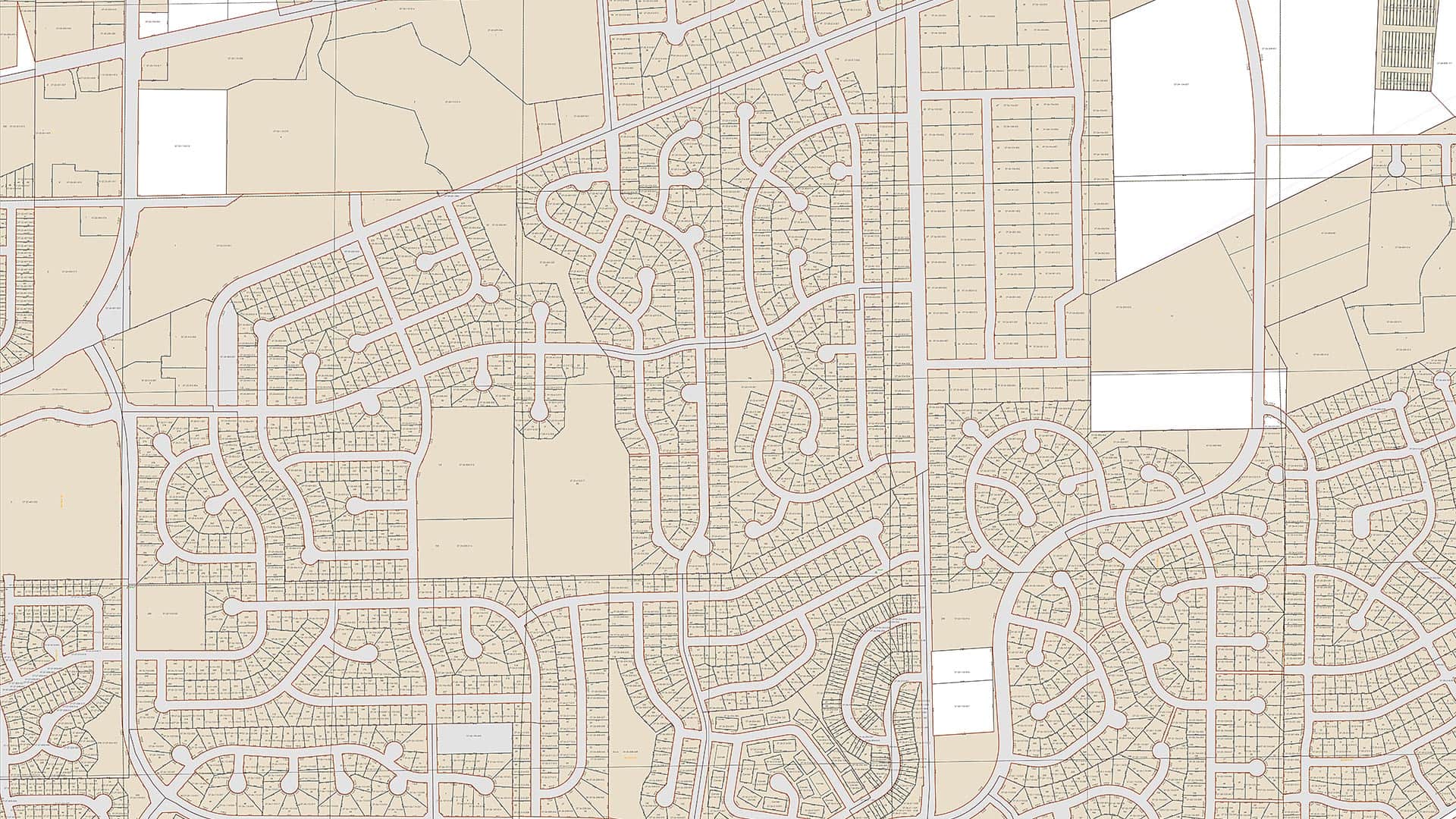
Using the Esri parcel fabric, Fauquier County, Virginia, now maintains its tax parcel data at a much higher level of accuracy than it did before.
Esri offers US customers the Cedar CT8X2 rugged tablet for use with ArcGIS Field Maps to streamline your field data collection workflows.
Esri offers the Cedar CT8X2 Rugged Tablet for use with ArcGIS Field Maps to streamline your field data collection workflows.
An animated map shows where the sweet potatoes; green beans; potatoes; pumpkins; and turkey that Americans eat on Thanksgiving are grown.
Betsy Mason, co-author of All Over the Map: A Cartographic Odyssey, talks about how data visualization changed the course of history.
Starting with data and points on a map, a young entrepreneur grows her lemonade stand business using location intelligence.
Jim Herries, principal product engineer for cartography at Esri, shares cartographic tips for improving your organization’s COVID-19 case maps.
How many staffed hospital beds are there per capita in what medical officials call ideal hospitals? A story map by Esri's John Nelson shows you.