displaying 220 results
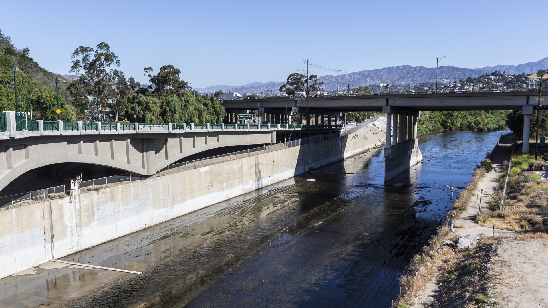
Careful consideration of people and natural processes leads to a holistic approach to LA River revitalization.
The Geodesign Summit held on January 23–25, 2018 at Esri in Redlands, CA focused on creating more resilient, livable communities using geodesign.
Online education programs like Penn State University's Master of Professional Studies in Geodesign gives busy working professionals...
Michael Batty explains how the process of geodesign might be compared to one in which conflicting views about a spatial design can be...

At the 2016 GeoDesign Summit, keynote speaker Arancha Muñoz-Criado, a landscape architect from Spain, talked about how areas can grow well.

In geodesign, ask questions, analyze and visualize data, and tell stories.
I like to think of geodesign as a perfect marriage of art and science. In geodesign, a GIS platform is used to support both the creative act...
To make design options real, urban planners, architects, and designers need strong 3D visualization power.

The Jane Goodall Institute implements GIS in local contexts to help communities regenerate woodlands.
Planners and community developers are using 3D GIS and other geodesign technologies to evaluate planning proposals.