displaying 1006 results
The Landsat program is a series of earth-observing satellite missions jointly managed by NASA and USGS.

City staff now receive imagery of possible graffiti before they go out looking for it, helping them track and abate graffiti hot spots.
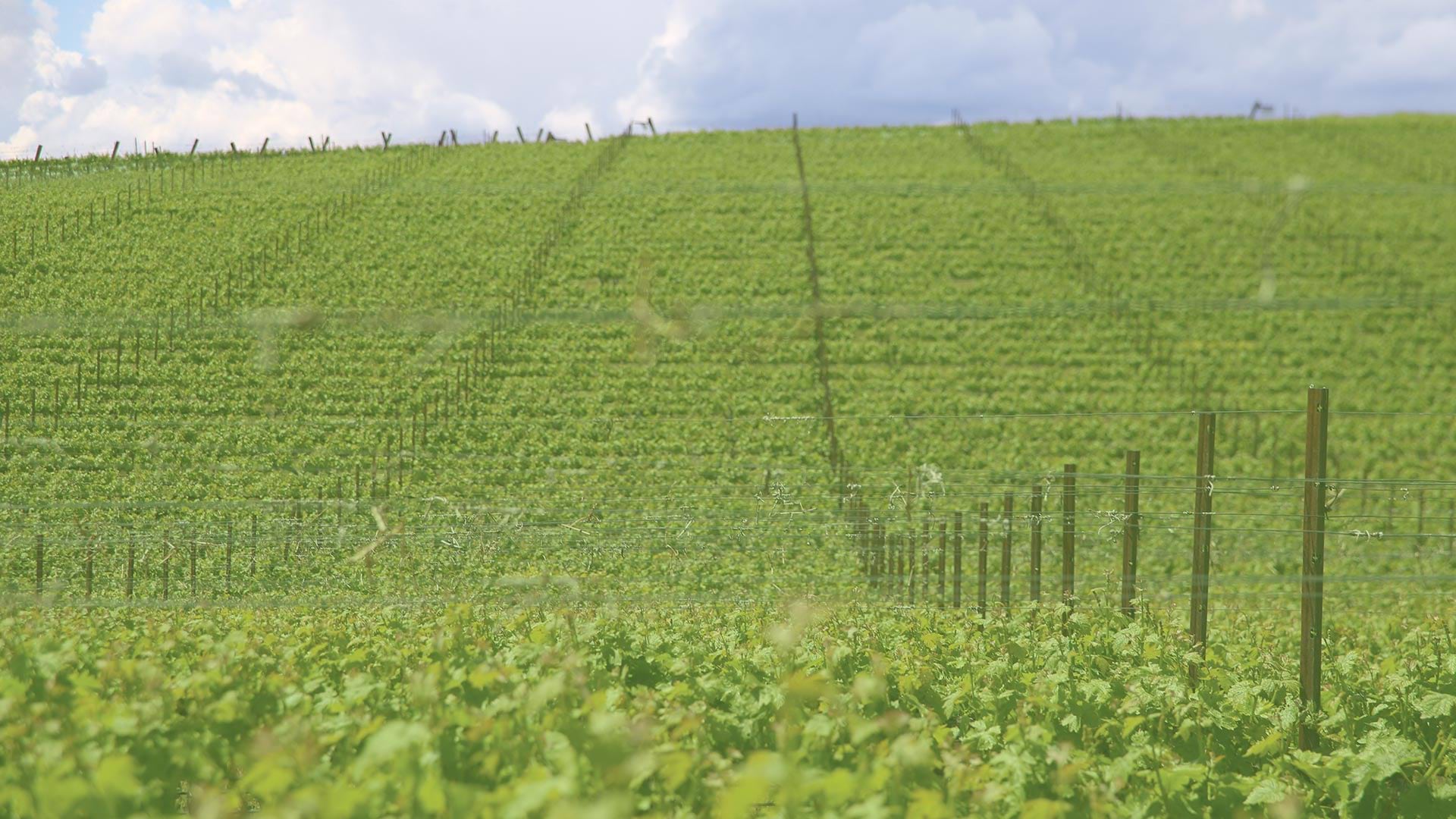
By using aerial imagery, staff at Shaw Vineyards can now identify and fix irrigation leaks quickly, resulting in a more uniform vine canopy.
October is the perfect time to curl up with a good GIS book. Four Esri workbooks, including the new Understanding GIS, will teach you how to...
Instructional Guide for The ArcGIS Imagery Book, the companion workbook to The ArcGIS Imagery Book: New View. New Vision., is a...
Landsat data from the United States Geological Survey (USGS) is one of the best sources for understanding and analyzing changes to our world...

Historical satellite imagery from the Cold War era proves useful for understanding long-term change and the impacts of climate change.

Esri partners are engaging major businesses and communities in remarkable ways. Find out how.