displaying 5896 results
The next Geodesign Summit in the United States is scheduled for January 29–30, 2014, in Redlands, California.
A tutorial clearly shows every step in the process of creating a project using ArcGIS Pro.
Orbital Insight's GO tool uses satellite imagery, artificial intelligence, geolocation data and ArcGIS Online basemaps to understand events.
If you want to learn how to outline a polygon with dots instead of dashes or add color to a black and white map, this story is for you.
Learn how spatial statistics in ArcGIS helps you answer questions confidently and make decisions that use more than simple visual analysis.
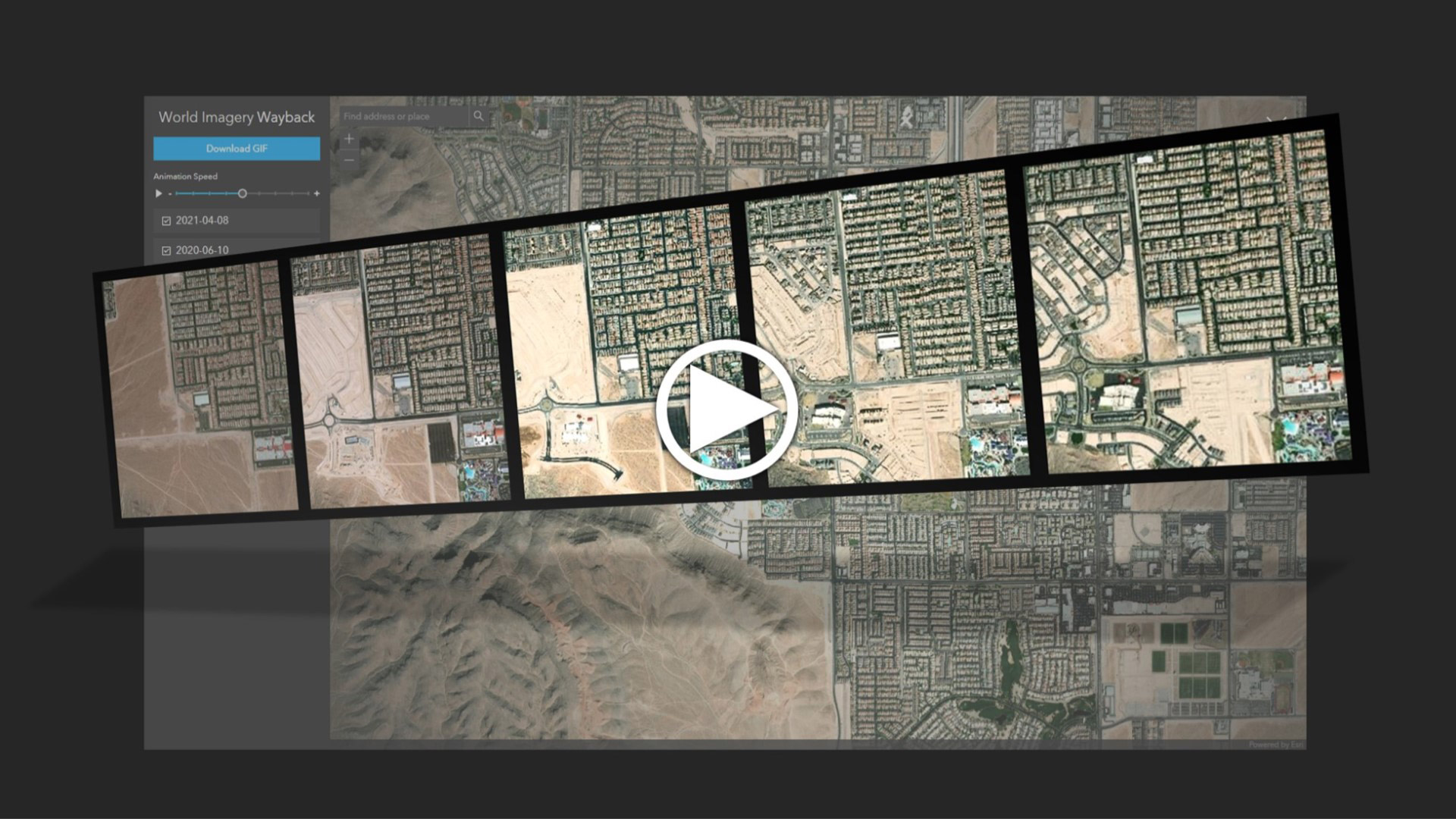
Learn to create and share animations of your images of interest using the World Imagery Wayback app.