displaying 929 results

The Forest Atlas of the United States, an interactive GIS atlas available on ArcGIS Online, shows how changes in forests affect people.

Citizen science is being enhanced by the proliferation of mobile devices and the development of apps that include members of the public.
United Nations Statistical Commission endorses program to develop a statistical-spatial framework for integrating statistical and geospatial data

"Geodesign is both an ancient idea and a new idea supported by new and advancing technology," said Esri president Jack Dangermond, as he welcomed

Managing GIS, A column from members of the Urban and Regional Information Systems Association
Geoinformation disciplines don’t receive the acceptance, understanding, and acknowledgment…
The Center for International Earth Science Information Network (CIESIN), part of the Earth Institute at Columbia University, released a series...

Esri Press supports the global community with publications that advance geographic understanding, literacy, and learning in all endeavors.
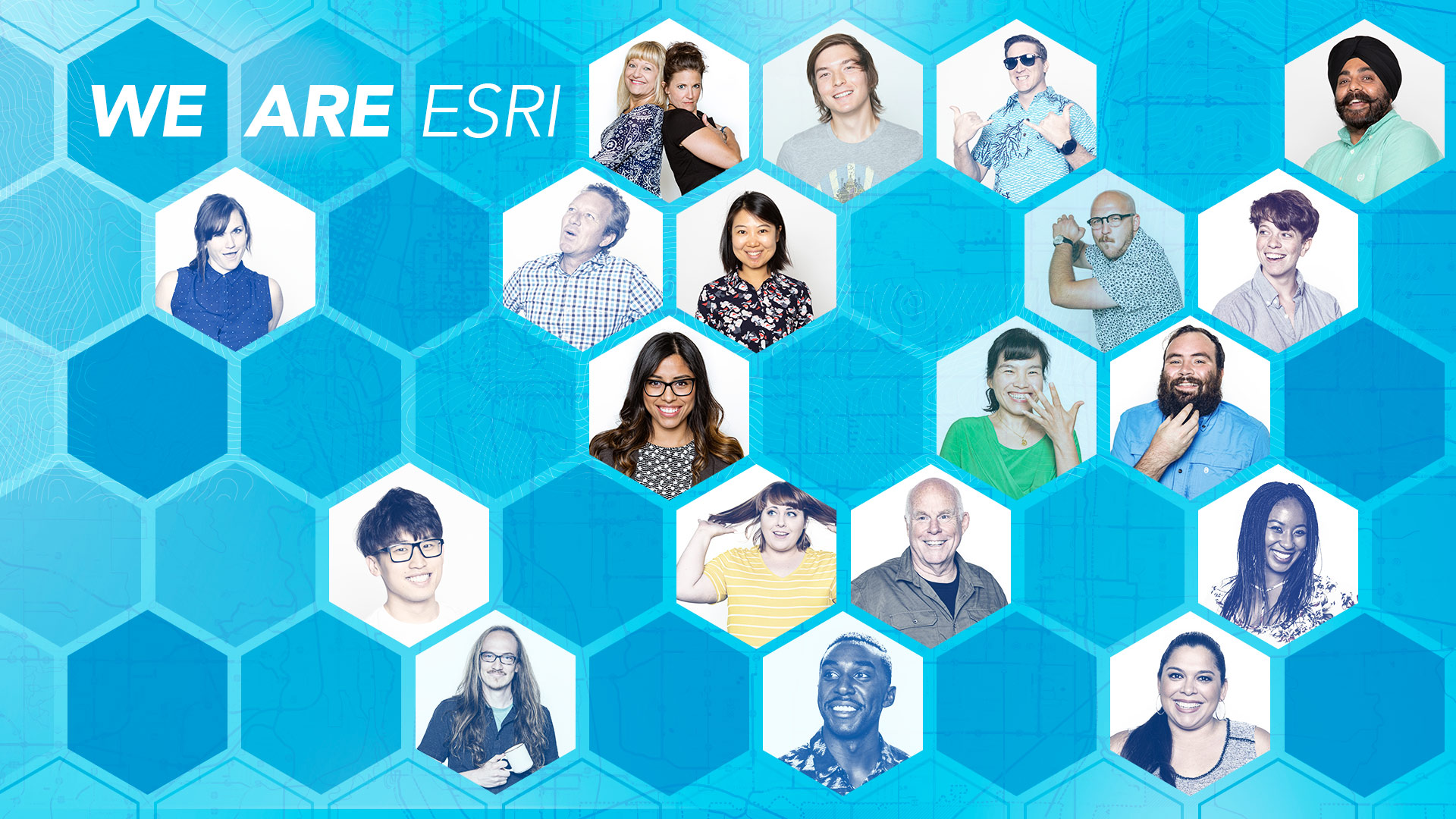
Esri is hiring people with all levels of experience for positions at its headquarters, regional offices, and R&D Centers.
October to November 2013 was a busy event season abroad for Esri. Three major regional user conferences (UC) drew more than 3,100 software users…
At the foundation of Esri’s work are the belief and vision that geography is a science that creates a better understanding of our world.