displaying 396 results

Marine scientists used to spend weeks or months in the field conducting surveys and mapping and imaging the seafloor.
Listen to NOAA's Dr. Rick Spinrad explain how technology helps sustain the global ocean economy while also safeguarding the ocean environment.
The dog days of summer have arrived in many parts of the world, and the beach is calling.
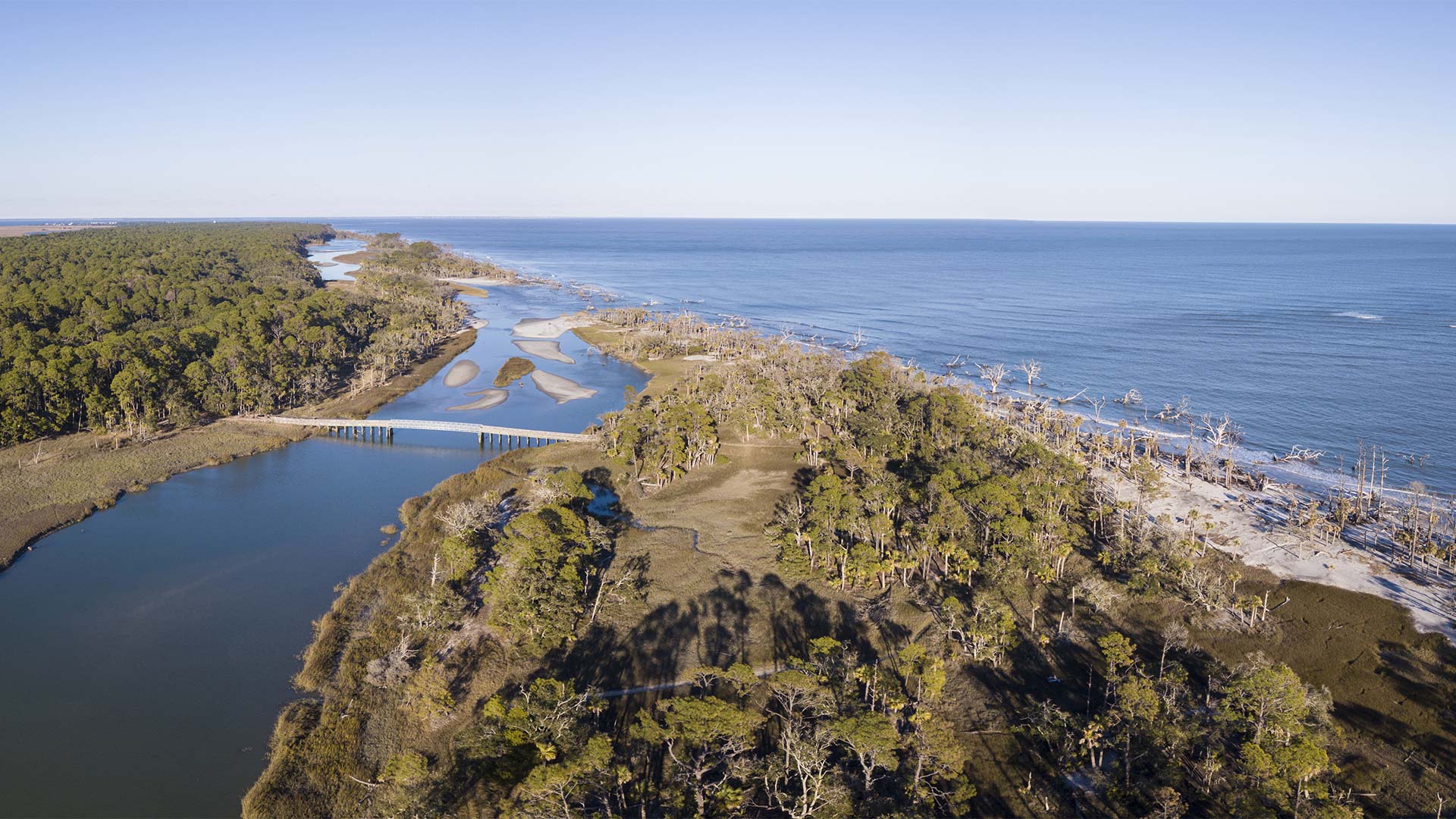
To better manage nonenergy marine minerals like sand and gravel along the US’s outer continental shelf, BOEM created a new GIS solution.
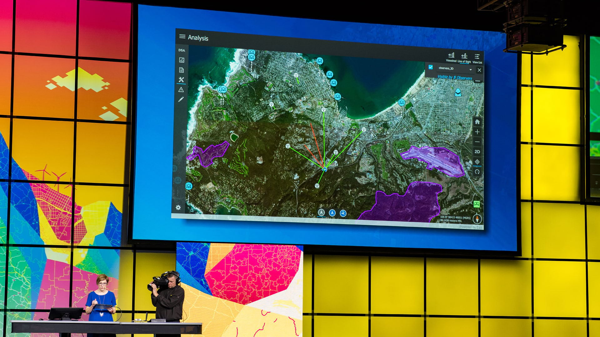
At the 2019 Esri Developer Summit, attendees learned how to best work with Esri technology and how their creations foster positive change.

Help to shape the next generation of GIS tools for ocean science at the Esri Ocean GIS Forum, November 4-6, 2015.
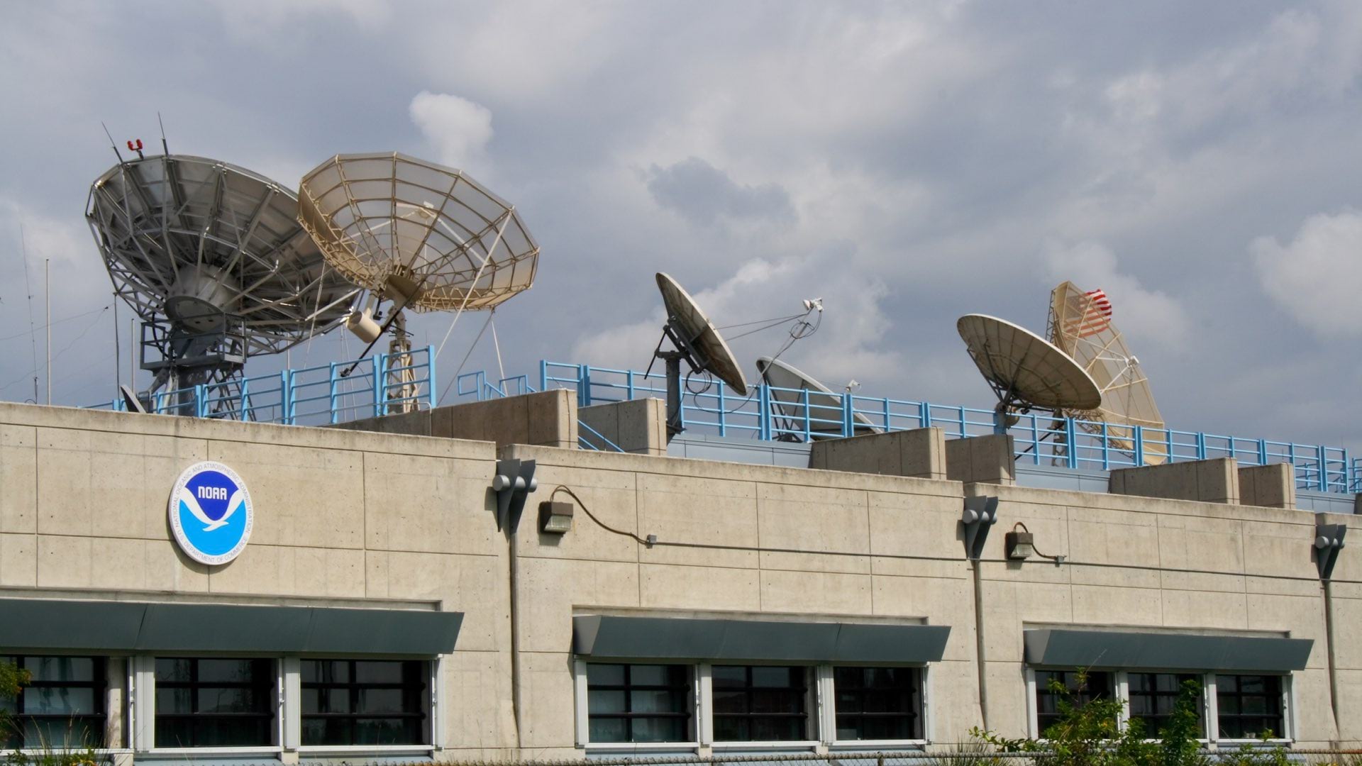
Joseph A. Pica discusses the value of a comprehensive repository of oceanic, atmospheric, and geophysical data about our planet.
On the agenda for the Esri Oceanic and Atmospheric GIS Forum: User presentations, workshops and learning labs.
The scientific community will tap data about reduced human impact on the earth to provide perspective on the value of more sustainable choices.
Esri is working closely with hydrographic offices around the world to modernize their maritime mapping systems using GIS.
Two students-one from Taiwan and the other from Canada-won first place honors in the 2021 ArcGIS StoryMaps Challenge for Restoring Our Oceans.