December 5, 2019 |
April 6, 2020
A conversation about the growing demand for environmental data, with Joseph A. (Joe) Pica, deputy director at the National Oceanic and Atmospheric Administration (NOAA) National Centers for Environmental Information (NCEI).

Across decades of sea and shore assignments, Joe Pica has watched the planet change alongside shifts in the technology used to study those changes. Pica’s work centers on collecting and compiling data about the natural world that guides critical decisions on climate, water resources, and other environmental concerns.
Pica is now deputy director at NCEI, following a stint as the first director of the National Weather Service (NWS) Office of Observations. At NWS, Pica was responsible for systems that measured changes in space, atmosphere, water, and climate. The data his organization collected supported forecasts and critical warnings to protect lives and property. Earlier in his career, he spent more than twenty years in the NOAA Corps, including years in charge of NOAA’s flagship ocean exploration vessels.
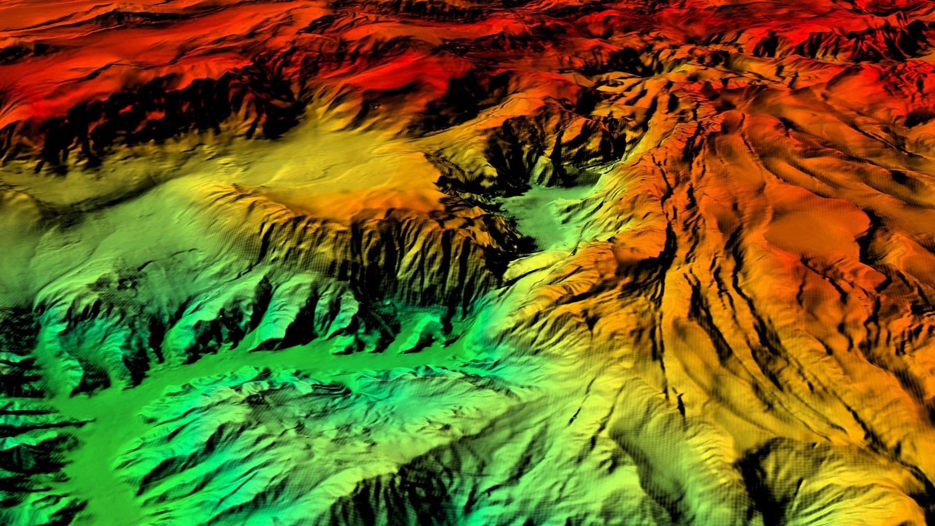
In his current role at NCEI, Pica stewards one of the most significant planetary data archives—spanning from the surface of the sun to the depths of the ocean, and from near real-time satellite imagery to ice core records that reveal atmospheric conditions from millions of years ago.
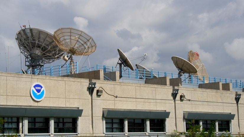
With a 50-year history, NCEI is responsible for data on weather, climate, and oceans, as well as issues such as natural disasters, space, and magnetic field. The agency’s authoritative data feeds into maps, models, and predictive analysis used every day by government officials, scientists, planners, and emergency responders.
This interview has been edited and condensed.
Climate change adaptation and resilience are popular topics in the geospatial world. Does NCEI have a role in climate change mitigation?
We focus on gathering trusted data. Our role is to provide subject matter experts and trusted environmental information so others can make evaluations.
We rely on a peer-review process among scientists in NOAA, other agencies, academia and international partners. The goal is to understand and relay what we think will happen if we do nothing, what we would need to do in order to mitigate or change that, and what we might need to adapt to.
How has weather data improved?
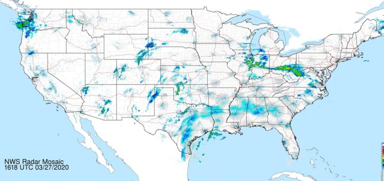
We used to collect one satellite image every 25 minutes, and now we can collect an image every five minutes. For special cases, we can zoom in and get a snapshot every minute. The capabilities of the current generation of [Geostationary Operational Environment Satellite] GOES satellites are simply amazing. They are four times the resolution and five times as fast.
For instance, if there are fires over California, we can zoom in and monitor a specific area.
Our weather radar on the ground rotate at relatively the same pace, so you can tie the data together. That’s particularly useful in a severe weather outbreak to see clouds forming along a front.
It gives us better information faster so we can issue forecasts for a weather-ready nation. This includes emergency managers, who now have more time to respond.
What’s being done to model weather data and produce more accurate forecasts?
We are working hard to improve forecasts to be able to protect people from extreme events. As the billion-dollar weather and climate disasters grow year over year, we’re working to have the best capability to mitigate impact from events in the future.
The acting NOAA administrator, Dr. Neil Jacobs, is a weather modeling expert. He’s setting up a community effort to make that better. The latest and greatest is an Earth Prediction Innovation Center, which is an innovative virtual community modeling concept.
The idea is to share our code and have the community work on it, make it better, share it back. It’s not just the government doing this. It’s also academia and the private sector. We’re all part of the enterprise to understand the planet and how it all flows together.
How has the use of geographic information systems (GIS) evolved over your career?
Early in my career, I was involved in reviewing water forecast models that took months of manual calculations to refine and retune. Today, that can all be done with GIS, and we’ve made big improvements with water modeling for example.
GIS and spatial analysis tools coupled with high-performance computing have made it possible to simulate and forecast how water moves throughout the nation’s rivers and streams. When I was doing the modeling, it took months to calibrate even a few basins for short-term forecasting. Now, the national water model generates short-term, medium-range, and long-term forecasts across the entire nation.
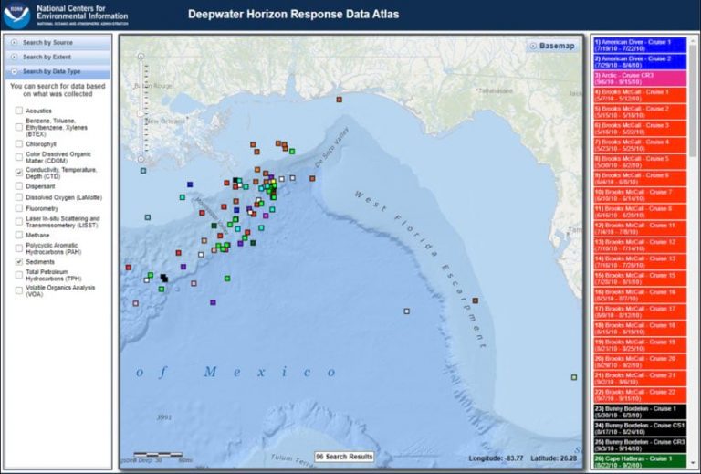
When I was involved in the response to the Deepwater Horizon oil spill, the value of GIS in an emergency management capacity was clear. We had an extended incident command to monitor the subsurface. GIS helped us coordinate data collection from a fleet of ships from the private, public sector, and academia. It helped us make sure we weren’t repeating each other’s work. It enabled us to create a “Rosetta Stone” with standard naming conventions for collection sites. Then when the data came back, we used GIS to examine it in an integrated fashion.
What do you think about new technologies such as sensing platforms, IoT, artificial intelligence, and machine learning?
Collectively, they could be transformative. Sensors have tremendous potential to fill in gaps as we can’t possibly sample all the information we need with our limited resources. There is great promise for machine learning or artificial intelligence to add automation and help us make sense of it all.
We are working toward a truly integrated digital understanding of our earth environment. It’s not just about the ones and zeros of our data, it’s about putting all the observations together.
From ships to satellites, how do you view the breadth of your experiences?
When I worked at the Northwest River Forecast Center, I focused on water supply modeling. Prior to that assignment, I was on a ship where we collected data from the Central Pacific Ocean during El Niño/La Niña, which can have a dramatic impact on water supply forecasts. So, while the two were very separate data collecting and modelling jobs, they were tightly related.
At NWS, I learned the value of a weather forecast. Now at NCEI, we hold data that allows us to look back in time to ask if what was forecast really happened.
I’ve seen firsthand how connected the planet is. Our planet is a system of many systems that are all tied together intricately; I’ve had the good fortune to work in a lot of different parts of those.
Learn more about Joe Pica’s career in this keynote from the 2019 Esri Ocean and Atmospheric Forum:
December 5, 2019 |
December 14, 2017 |
January 7, 2020 |