displaying 1360 results

Interactive web maps let site visitors analyze poverty, childcare deserts, and health-care access to better aid youth in South Carolina.

A new Vision Zero DC website, built using ArcGIS Hub, helps the city work closely with community members to transform transportation safety.

A GIS-based system for conducting site suitability assessments is helping Indonesia determine the best locations for solar plants.

For a team of archaeologists, GIS offers an effective way to collect data and quickly disseminate project findings in compelling formats.

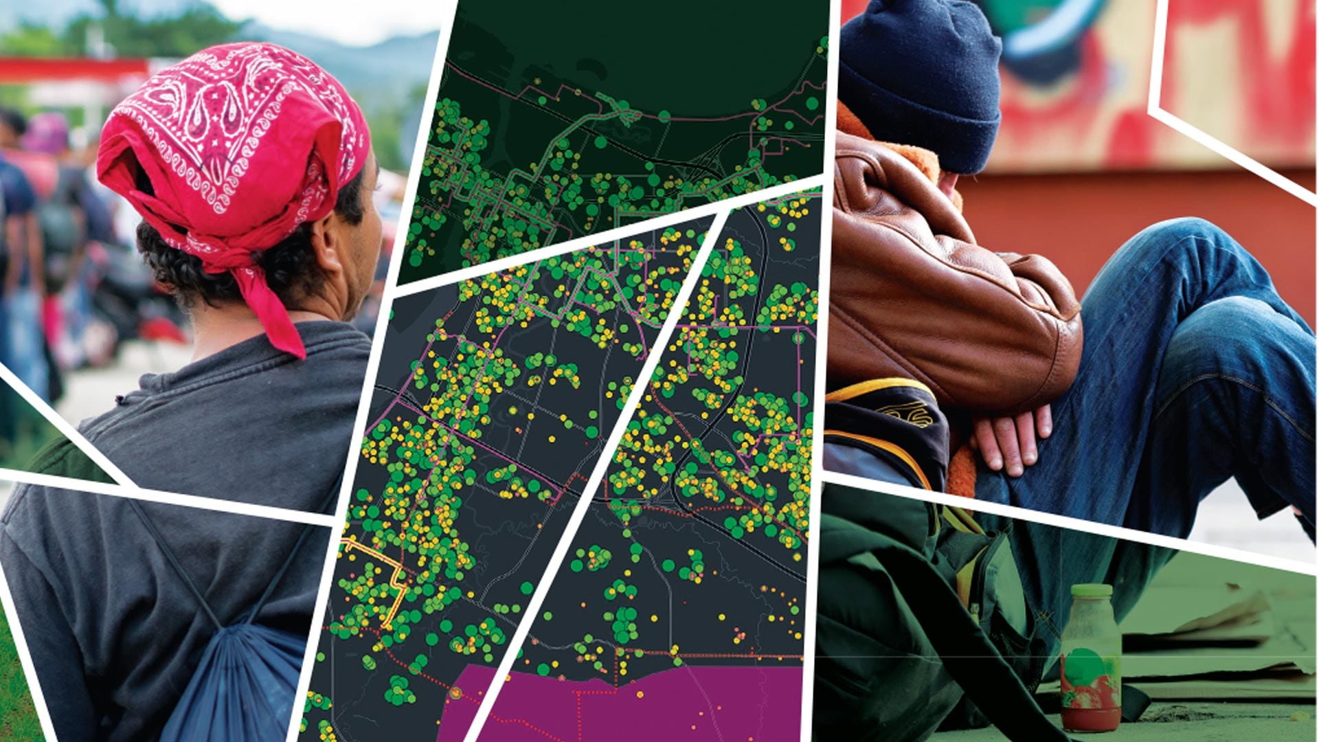
ArcGIS AllSource integrates disparate information sources to facilitate advanced analytics.

Learn how to use ArcGIS technology to create visualizations and streamline operations, and find out about new certification opportunities.

For utilities with robust GIS infrastructure, using ArcGIS Monitor to track system performance and resources keeps things running smoothly.

Joe Lemeris uses GIS to manage habitat restoration and monitor endangered species. He also has an intuitive sense of geospatial strategy.

In Norfolk, Virginia, the city needed a way to alert the public about flooded roads. That’s where FloodMapp comes in.
Leverage GIS to support equity objectives, empower staff to take action, track program effectiveness, and communicate results.

New books from Esri Press cover a range of topics, from how to design map interfaces to how to use GIS for conservation and education.
A GIS-based system for conducting site suitability assessments is helping Indonesia determine the optimum locations for solar plants.