displaying 411 results

The winners have been announced in the 2020 ArcGIS StoryMaps Competition for the Sustainable Development Goals.

People from all over the world had extra special virtual celebrations for GIS Day on November 18, 2020, despite the COVID-19 pandemic.
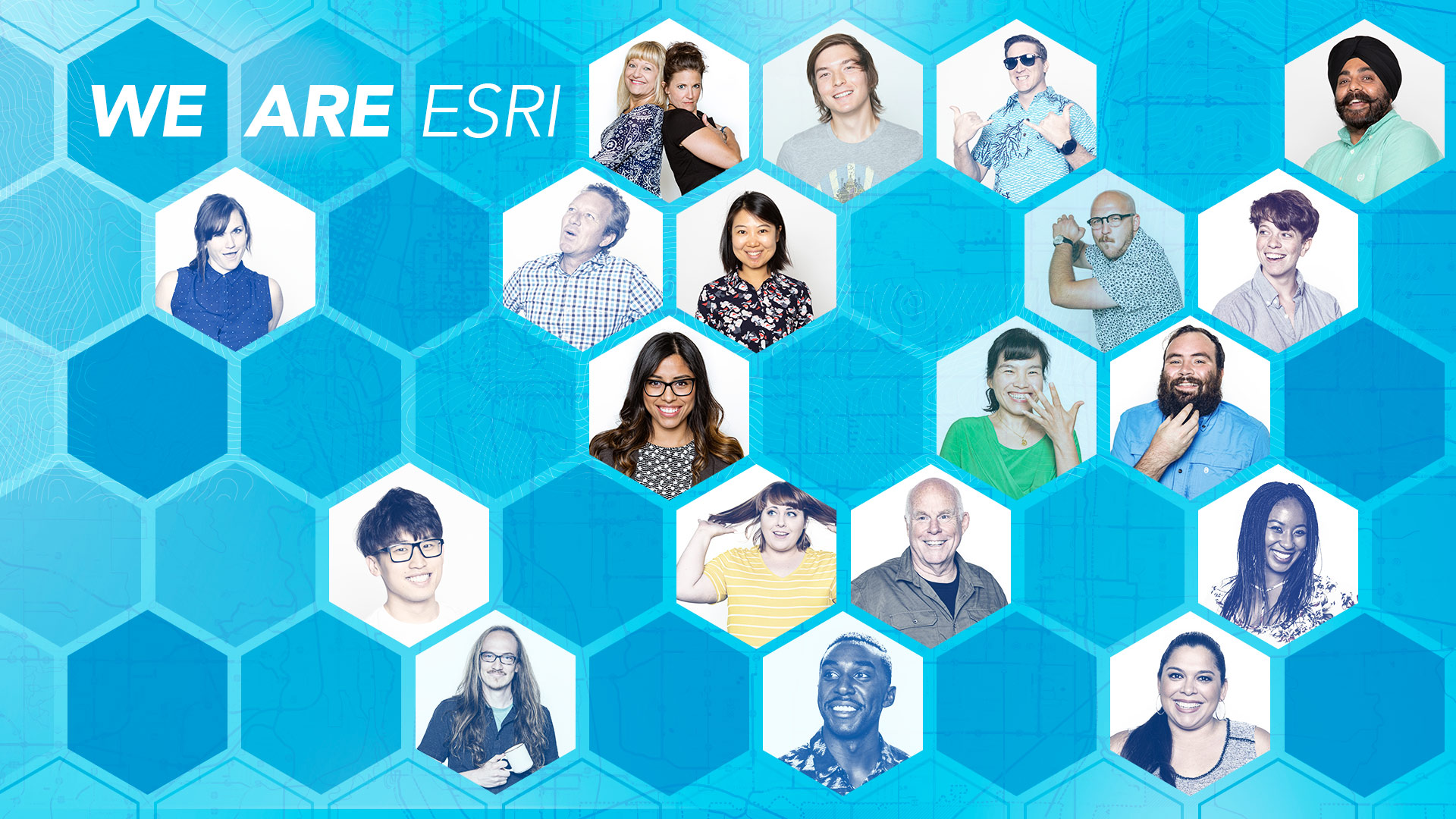
Esri is hiring people for positions at its headquarters, regional offices, and R&D Centers. See all the career opportunities at Esri.
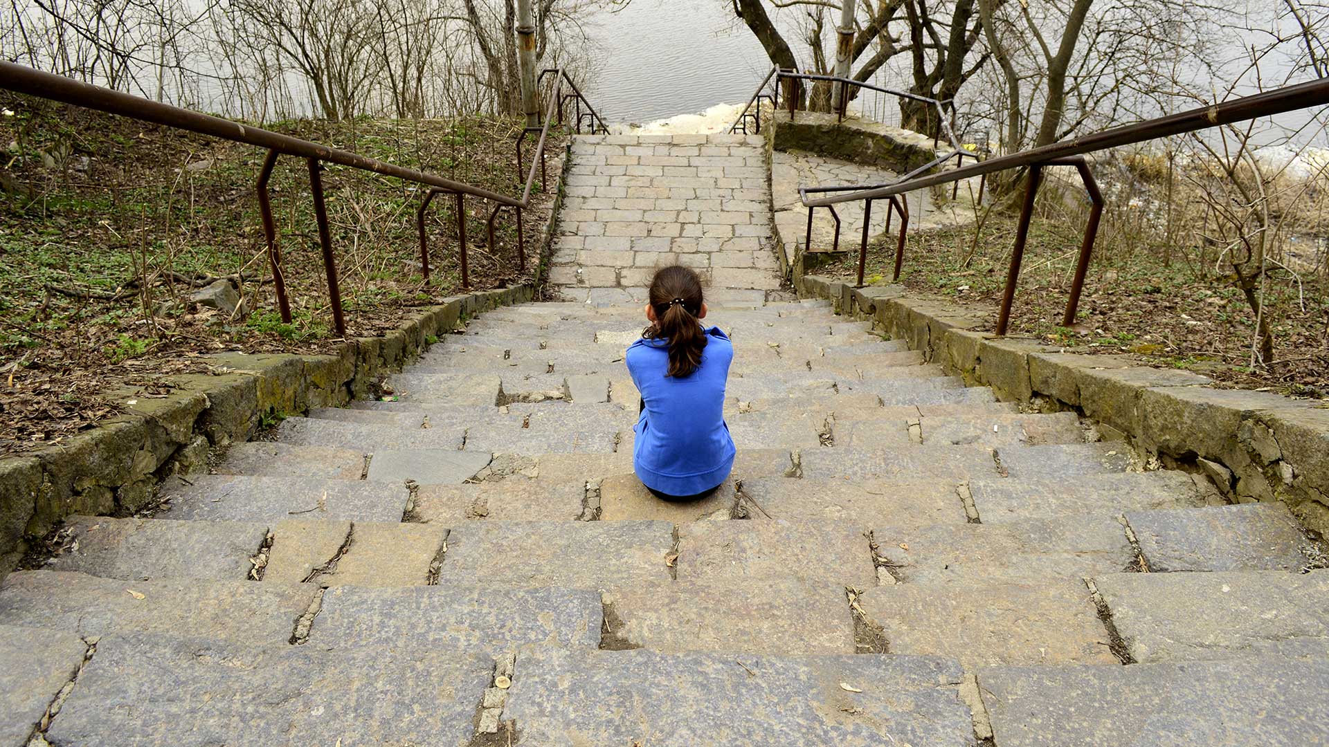
A non-profit in New York uses Esri technology to analyze data on homeless children, producing maps and infographics to inform policy decisions.
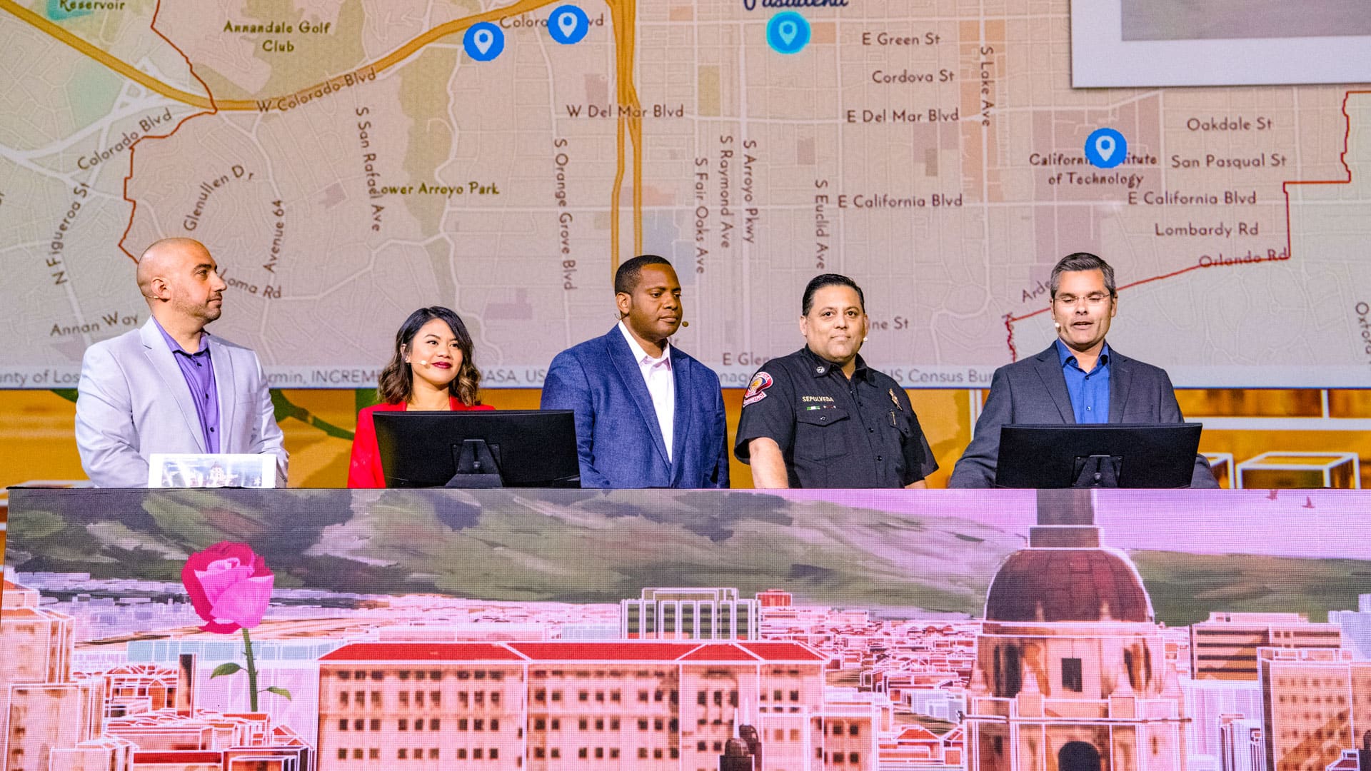
The City of Pasadena, NatureServe, the US Census Bureau, and other organizations show how GIS helps them see what others can't see.
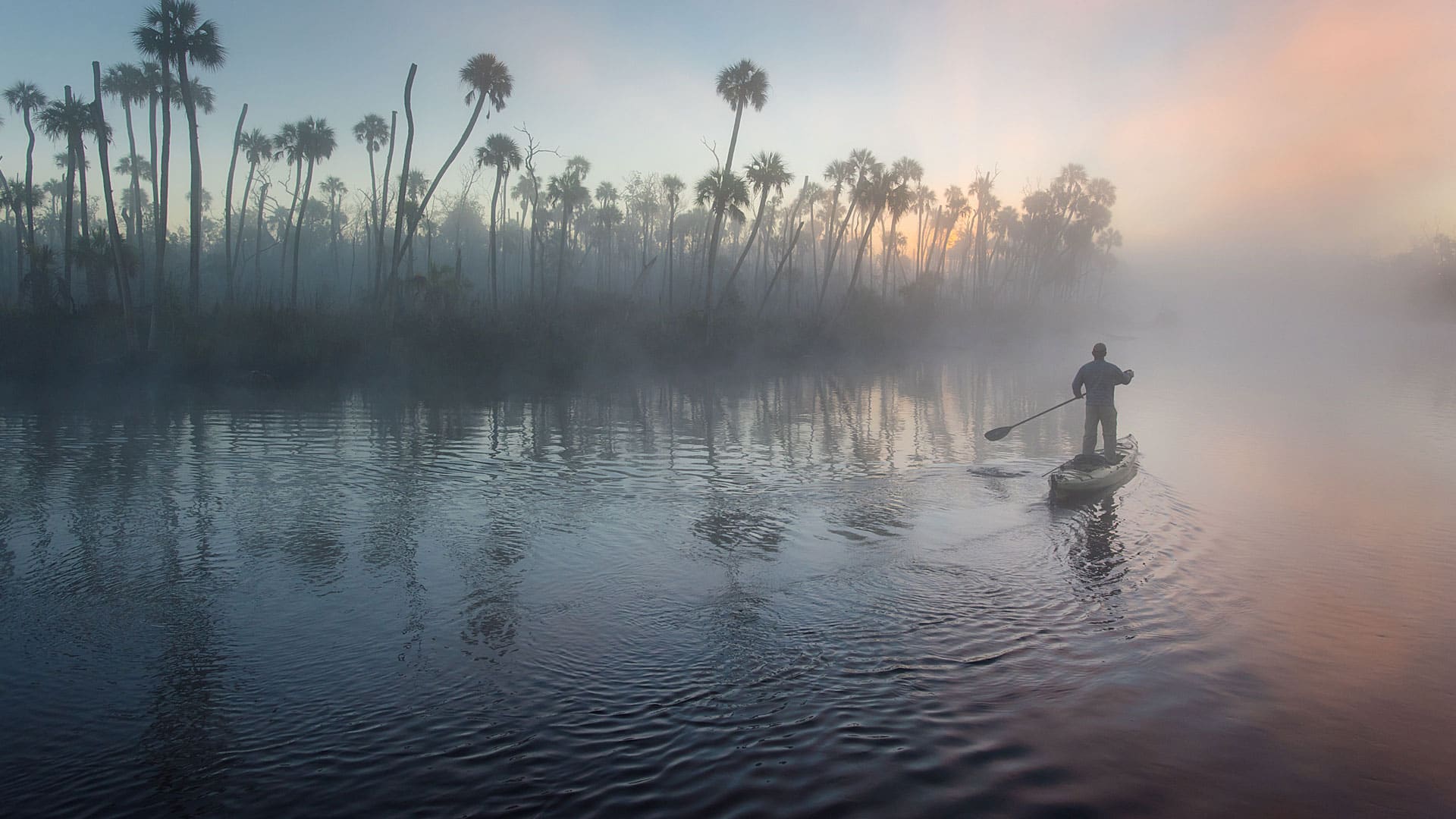
Conservation photographer Carlton Ward Jr., says geodesign and storytelling will play a critical role in conserving land for Florida wildlife.

To verify employee and volunteer safety while on house calls, Big Brothers and Big Sisters of London and AREA uses a real-time GIS.
Find out how Esri partners are making organizations and communities smarter by giving people access to a wide range of geospatial information.

Singaporean charity Food from the Heart used GIS to streamline its collection and delivery routes and improve resource allocation.

Esri founders Jack and Laura Dangermond received the Audubon Medal during the 2015 National Audubon Society Gala Dinner held in New York City.
Maps and spatial analytics allow people in communities to build strong, long-lasting relationships with each other.
The National Audubon Society adopted an enterprise approach to GIS that uses ArcGIS for Server to improve the way it collects and manages data.