displaying 396 results
Esri Press supports the global community with publications that advance geographic understanding, literacy, and learning in all endeavors.

From collecting trash to modeling where winds and ocean currents take it, young people in New Zealand get inspired to take action.
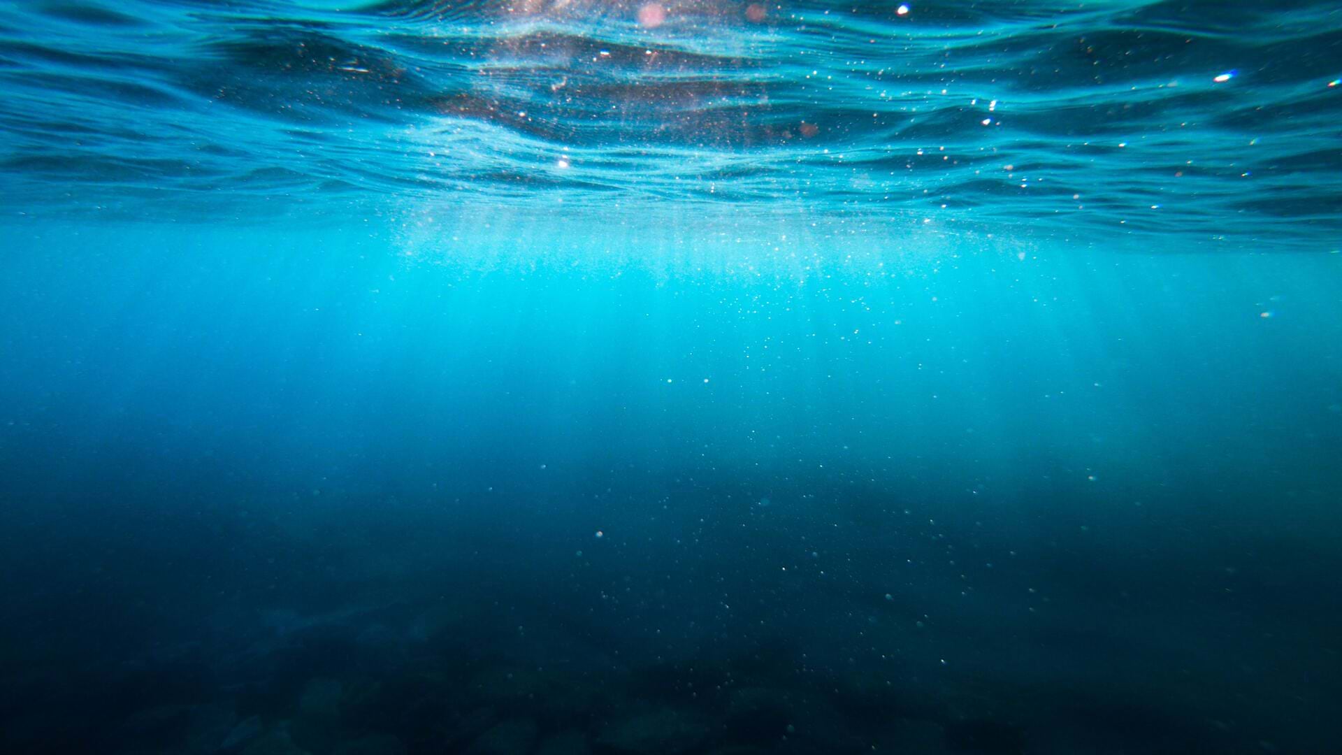
You can use GIS technology to study sea level rise, red tides, acidification, and other ocean-related issues.
Coastal planner Leah Fulton discusses the extent of lost commercial fishing gear in the ocean pollution crisis.
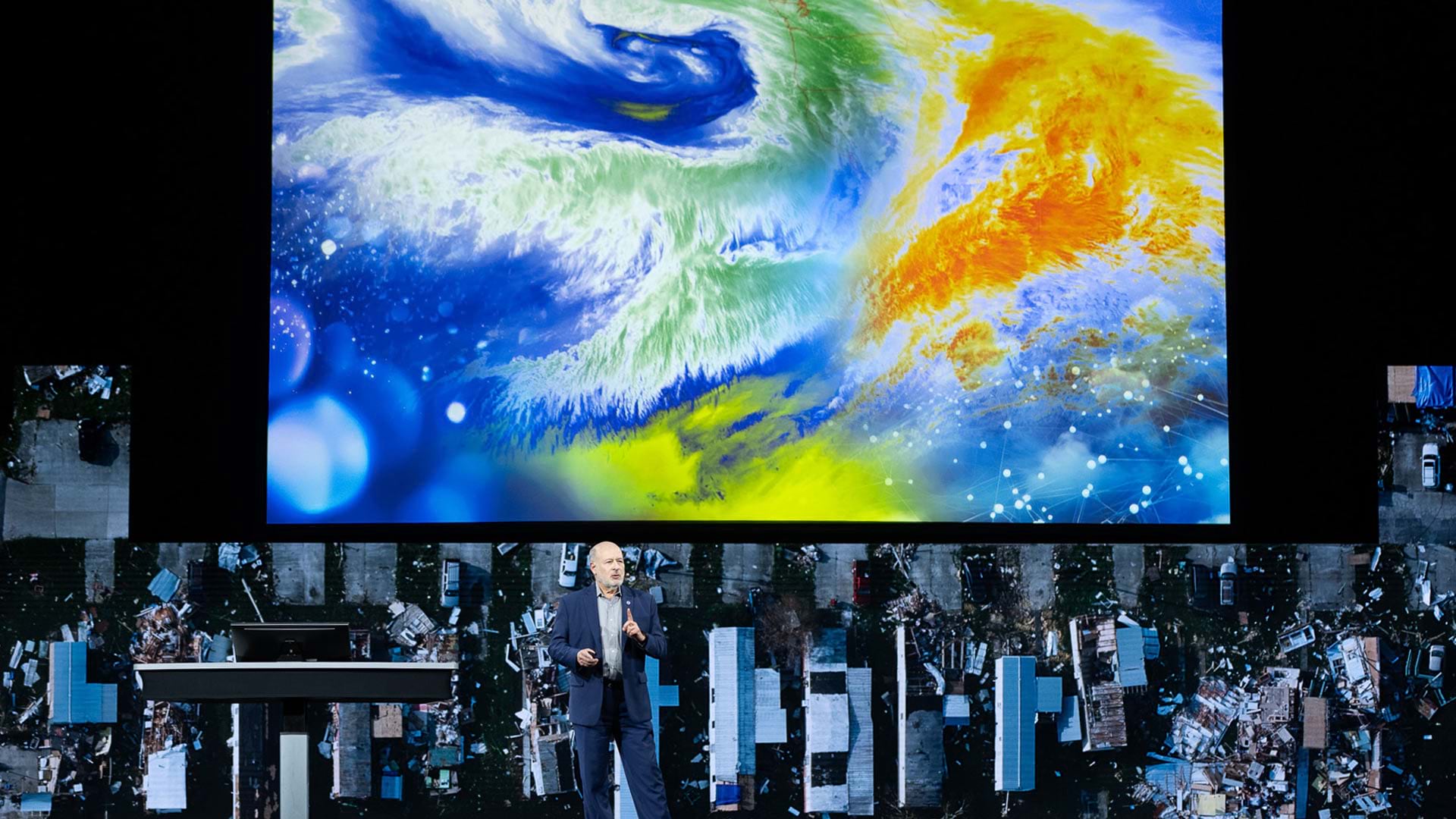
The 2023 Esri User Conference showed that GIS professionals understand the world’s interconnectedness and know how to tackle big challenges.
Esri has relationships with more than 1,800 partners globally that provide customer-focused geoenabled solutions.

GIS—Creating a Sustainable Future, the the 2021 Esri User Conference theme, emphasizes using GIS to balance environmental, economic, and society.
If you love geography, ocean science, and GIS, these seven books, including Andrea Wulf's The Invention of Nature, should top your reading list.

Marine biologist Dr. Vanessa Pirotta and location intelligence expert Brett Dixon discuss the use of drones and GIS to study humpback whales.

Esri chief scientist Dawn Wright explains how humans’ health and prosperity is linked to the health of our ocean.

Roger Sayre is mapping the world’s land, ocean, and freshwater ecosystems.