Couriers on mopeds and e-bikes—they’re the visible last leg of a much less visible logistics challenge.
Quick commerce—or q-commerce—requires more than fast couriers to deliver goods in 20 minutes. Increasingly, it relies on location science to predict demand, coordinate mini fulfillment centers, and design delivery routes.
“Our understanding of spatial science is absolutely crucial,” says George Smith, senior operations manager at Co-op Group, a British food retailer whose deliveries now reach 90 percent of the UK with online home deliveries of its products in as little as 60 minutes.
Co-op Scores Rapid Growth, Fueled by Location Analytics
At a recent industry presentation, capacity network manager Joshua Ramiah explained how Co-op discovered the importance of location analysis when the company added online sales and deliveries to its brick-and-mortar business:
When Co-op began offering q-commerce in 2018, the team manually defined each store’s catchment area—the neighborhoods eligible for quick delivery—using digital maps. The retailer’s brick-and-mortar stores were the backbone of the initiative, doubling as mini-fulfilment centers where delivery orders are picked and packed—which also ensured that the local, high street store could benefit from online demand.
By 2022, fast delivery was available at 200 locations—a notable achievement.
As Ramiah explains, team members realized they would need location analytics to scale:
We were looking at quicker, reliable ways to define delivery areas, avoid overlap between stores, or analyze catchment demographics in order to scale effectively.
The bottom line is that spatial data and software processes that work for 10 or 100 stores aren’t necessarily suitable at a national scale. And with ambitions to reach hundreds more stores, we needed a scalable, consistent, data-driven solution.
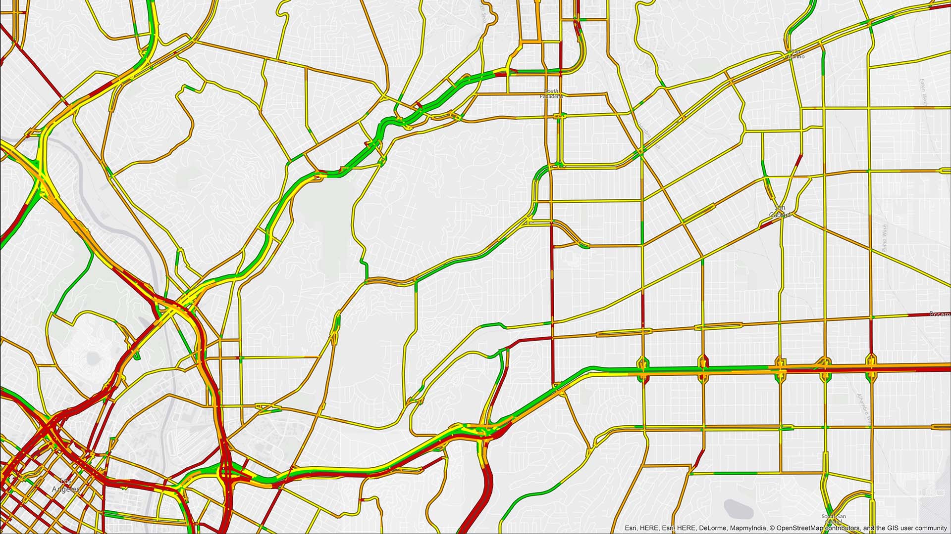
Geographic information system (GIS) technology let the team map every Co-op location, then use drive times and drive-distance analysis to build catchments store by store.
With the technology, they could define delivery areas for 50 stores in a couple of hours—a process that once took two weeks—with a shareable, bird’s-eye view of the network available to any team.
“The impact was huge,” Ramiah says.
Building a More Responsive, Dynamic Business
Co-op couldn’t apply a one-size-fits-all approach to q-commerce. Every store had its unique characteristics, and GIS helped the team understand each one. As Ramiah explains:
Location insights also improved the business’s responsiveness to customer needs. Using GIS drive-time data and traffic modeling, the team set delivery areas to ensure that orders reached customers quickly at any hour of the day, including when night shift workers and college students order pizza in the wee hours.
If a store must close for investment and renovations, Co-op uses drive-time analysis to reassign routes to other stores.
“All this has supported q-comm’s rapid growth to scale nationally,” Smith says.
By 2025, Co-op’s q-commerce had grown to over 1,500 stores, and 90 percent of the UK population can now access Co-op groceries online, via Co-op’s own online shop—shop.coop.co.uk—or via its strategic partners.
A Mindset Molded by Location Science
Many organizations use location technology to understand their data and uncover hidden efficiencies in their networks.
Outside of retail, using location analytics to map facilities, destinations, and routes has helped firefighters maintain quick response times and enabled logistics analysts to rapidly reroute supply chains around disasters.
For Co-op, location analysis supported the goal of utilizing its bricks-and-mortar estate to build a leading quick commerce operation and omnichannel fulfillment ecosystem capable of moving at retail’s fastest register. As Ramiah notes:
We’re proud that q-commerce is now an integrated part of the overall Co-op Group strategy. And the spatial data that we use every day through GIS is an important part of our process.
The Esri Brief
Trending insights from WhereNext and other leading publicationsTrending articles
December 5, 2024 |

January 11, 2024 |
May 26, 2026 |

September 8, 2026 |
September 22, 2026 |

September 15, 2026 |