When the average Fortune 500 CXO lasts less than five years in the role, corporate life can feel like an endless series of priority shifts. But one goal never wanes: the drive to make a business faster, smarter, and more agile.
The quest plays out across hundreds of projects, through diverse alliances of people, processes, and technology. But progress doesn’t happen spontaneously—it always requires a catalyst. In recent years, geospatial professionals have been that catalyst, driving business outcomes by improving how companies think and operate and how their teams work together.
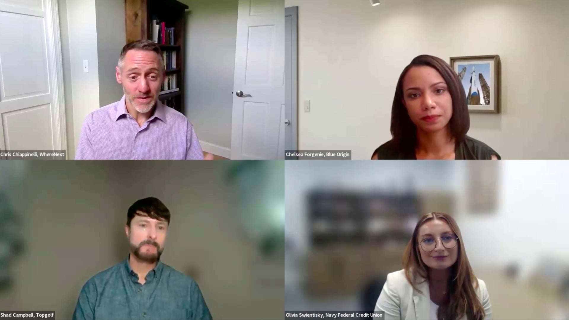
WhereNext sat down with three geospatial professionals—from Blue Origin, Navy Federal Credit Union, and Topgolf—to learn what it takes to change the way a company thinks, acts, and collaborates. Their perspectives are captured in this short video and the transcript below.
For the full conversation, see the webcast page.
Transform How the Business Thinks
Chris Chiappinelli, WhereNext: Olivia, you’ve mentioned that location technologies helped improve your geospatial problem-solving skills at Navy Federal. Can you give us a couple of examples where that happened?
Olivia Swientisky, Navy Federal Credit Union: Location technology really strengthens our ability to both understand [and] predict our business performance, utilizing some spatial models such as the location allocation and the trade area analysis to evaluate these potential areas based on factors [like] our member density, potential members, transaction patterns, real estate, and also accessibility. This allows us to not only identify those strong opportunities but also foresee how a branch might perform before we invest in it.
On the other side, another example would be identifying underserved areas. By layering our member distribution with our current branch network and drive-time coverage, we can clearly see those gaps where members may not have convenient access today.
What’s powerful about that is that this transforms the conversation [from] reactive to proactive, and instead of saying that we need a branch here because activity is high, we can say this location is likely to drive growth and improve access and also support our members long term.
Ultimately, this helps ensure we’re making smarter investments that benefit both the business and our members, because at the end of the day, our members are our mission.
Transform How the Business Operates—Through a Digital Twin
WhereNext: Chelsea, I’m curious about your span of work experience—in particular, the focus on digital twins at different points of your career. You’ve worked on those with the help of GIS technology. I’m wondering how a digital twin can transform the way an organization understands business conditions. In other words, once a company has a digital twin of its assets, what changes day to day, and what improves?
Chelsea Forgenie, Blue Origin: I think the real magic of a digital twin happens when you look beyond the neat 3D copy of a building, and I think true transformation comes when you can bring in live data metrics.
In manufacturing environments, they’re incredibly dynamic—the workflow changes, the layouts evolve. When you have a digital twin that understands exactly where everything sits in physical space, it becomes a massive asset to our teams like EHS [Environment, Health, and Safety] and risk management. Instead of digging through old layouts that are probably outdated to track safety compliance, the twin becomes a living safety dashboard, especially when you can integrate sensors for particular needs.
For example, you can visualize heat maps of specific work cells to monitor safety thresholds in real time and calculate whether a certain zone is getting too close to its maximum quantity of industrial assets or materials and chemicals.
Day to day, I think what changes is we can be more proactive—as we’ve said many times—with potential compliance risks before they happen, and have a live picture of our facilities’ safety and health as the business grows.
Transform How Geospatial Professionals and Data Scientists Collaborate
WhereNext: What does it take to transform the way a company uses data to improve decisions? Do you have any insight on how to create the strong relationships among geospatial pros and data scientists—get those two in the same camp?
Shad Campbell, Topgolf: I think first and foremost that the relationships, they tend to form organically—it’s just [that] you have to have a forum [in] which that can happen. My mind goes back to 2021, 2022: There was an executive at Topgolf—she established the Topgolf Analytics Council.
I was fortunate enough to be selected to be on that. It was the data people, the analytics leaders across the organization—so myself; there were people from marketing; from data science; business intelligence; information systems; our guest insights team; even HR information systems. For the first couple of months, we just came together once a month just to talk shop, and it was an open forum to say, hey, here’s what I do, here’s what my team does, here’s our responsibilities, here are some projects we’ve worked on.
It was through that information sharing that we all came to the conclusion that data was our universal currency. We’re all using the same data within the organization, we’re just using it differently, to answer different questions. That’s where the organic process started—you just start sharing that information, you learn how these other teams function, what they’re working to achieve, and then you pair it up with what you’re doing.
We had the Analytics Council for a couple of years, [but] people leave the company, things don’t get picked up and moved forward. The council itself fell apart, but what didn’t fall apart were some of those relationships. I came out of it being really close to the data science team. They were asking for GIS insights on venue profiling and segmentation and a lot of the things they were doing for the marketing and the ops world, where I looked to them for some of that heavy data science modeling expertise, statistical analysis around our trade area definitions, some demand modeling.
We were actually pulling a venue P&L apart and modeling the different components of that. So I think once you create that forum, you see how alike you all are in terms of the things you use, your approach, things like that. And I think it benefits and fortifies each other after that.
WhereNext: I like that collaborative effort, and I like that you’re talking about venue P&Ls. You were probably predisposed to talk about that given your finance background, but it’s a reminder to folks in the audience, perhaps, that you should think in those terms. If you’re in the business world and you are working with those stakeholders, you have to think about things like venue P&L—profit and loss—and how these things are going to affect the business. That all goes back to what you’ve all said about connecting the small tasks to the bigger picture and the bigger business needs. That’s a really nice way of wrapping that up.
The Esri Brief
Trending insights from WhereNext and other leading publicationsTrending articles
December 5, 2024 |

January 11, 2024 |
May 26, 2026 |
September 8, 2026 |
September 22, 2026 |

September 15, 2026 |