displaying 23 results

Los Angeles County’s Safe, Clean Water Program (SCWP) uses geospatial technology to manage 200 stormwater projects and studies.

The National Center for Missing & Exploited Children (NCMEC) use GIS to track child traffickers and missing children.


Use cloud data warehouses with ArcGIS Pro and ArcGIS Enterprise to extend the power of your GIS.

Water is essential to our future and that of the planet's and it is threatened by climate change.
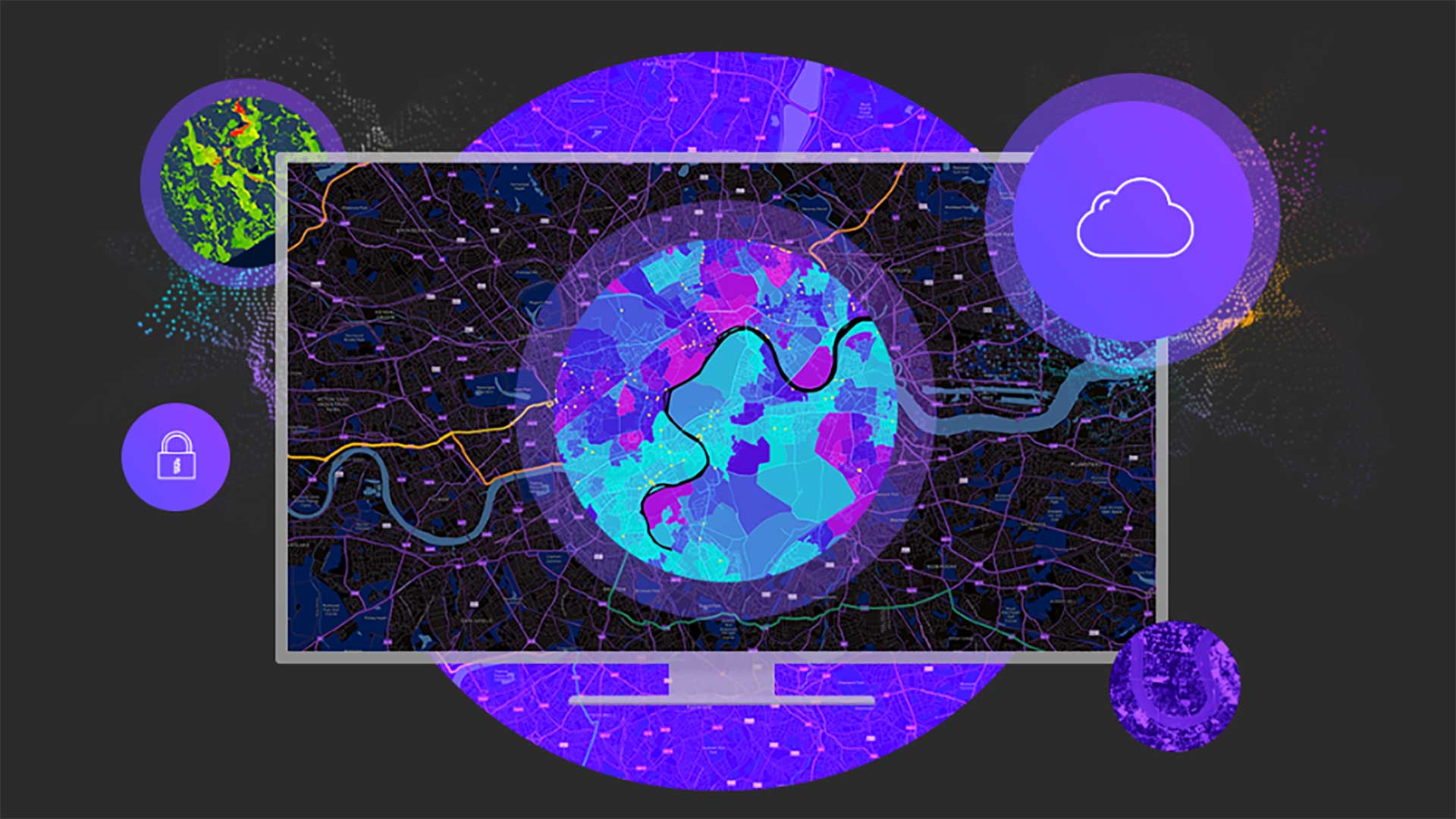
ArcGIS Enterprise 11.1 will help your organization work more efficiently.

GIS has proven valuable in monitoring levels of dangerous chemical contaminants in drinking water.

Haseeb Malik shares the strategies he used to rise to an executive role.

Alachua County, Florida, uses GIS to manage its Irrigation Restriction Program.
Map complex geometries and data with ArcGIS Maps SDKs for Native Apps.

Volunteers from the Geohazard Risk Mapping Initiative (GRMI) created tools to help Nigeria prepare for recurring flooding;

Economic mobility begins with affordable housing and affordable housing begins with zoning reform.