At the Enterprise 11.1 release, the self-serve Map Production System (MPS) web app has been enhanced with branding capabilities. New functionalities also make it easier to filter or select layers from the map service layers list and instead of selecting AOIs on the app’s web map, a JSON list can now be imported.
The following 2-minute video demonstrates these enhancements.
Branding
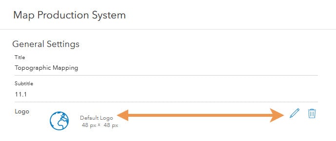
The MPS web app has a default logo included with the product files required to deploy the app, but it can now be replaced with your logo, which is uploaded to your ArcGIS organization. Review the Defense Mapping or Production Mapping Enterprise documentation to learn more about how a logo is saved and whether it is impacted by themes.
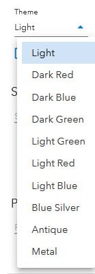
Just in case it went unnoticed, the MPS app comes with several color themes to change its look.
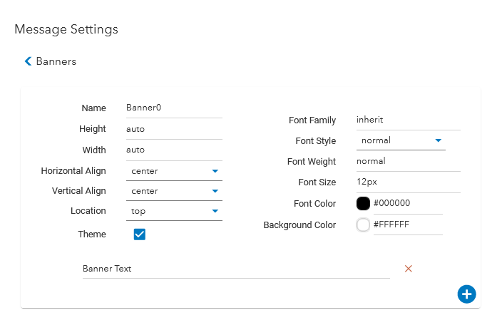
A banner, or more than one, can also be configured in the app settings. A plethora of properties can be customized on the banner, but ensure you uncheck the theme check box so that your customization is not hindered by a theme that has been applied.
Map service layers
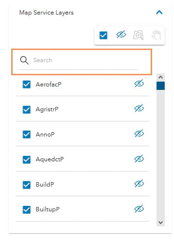
At 11.1, you can click one check box to check or clear all of the map service layers’ check boxes. Gone are the days of checking each layer individually. As a reminder, when the exported output is a format that will show layers, whether or not these check boxes are checked doesn’t change whether the layers appear or not. Rather, they determine whether data appears on the layer. This is also not to be confused with the eye icon that determines whether the layer appears on the app’s map. Also gone is having to scroll down that list of layers if you’re searching for a particular layer and know its name.
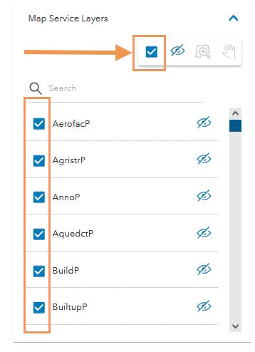
A new search text box is included at the 11.1 release that filters the list as you provide the spelling of the layer that you’re looking for.
Import Area of Interests (AOIs)
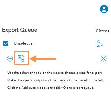
Getting your AOIs into the export queue has never been easier. At 11.1, selecting them from the app’s map can be skipped if you have a JSON list of the map sheet IDs that you want to export. Review the Defense Mapping or Production Mapping Enterprise documentation to learn more about the proper syntax.
I hope this information has offered some insights at what the new release offers. Until the next post, thanks for reading!

Article Discussion: