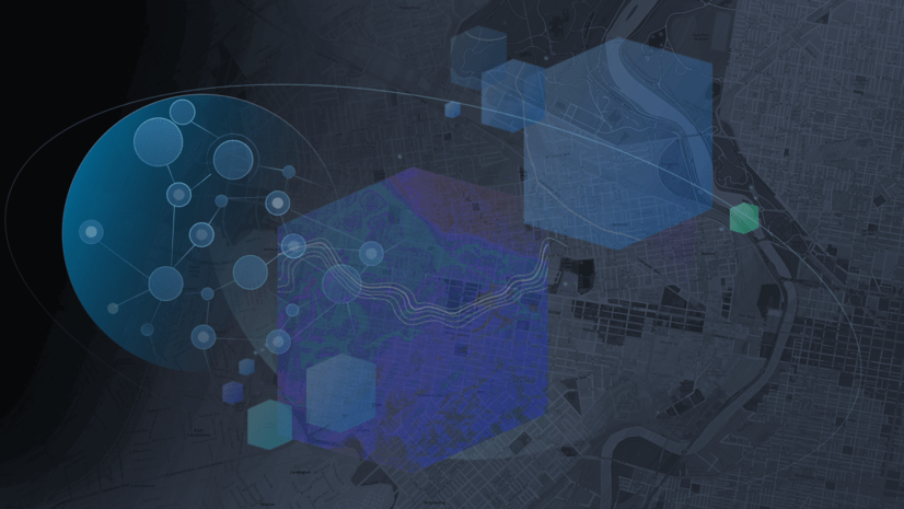
The ArcGIS Enterprise team has worked hard to bring you new features and enhancements in the portal for 10.7, which was released yesterday! Here, I’ll highlight some of the biggest new features in mapping and visualization, 3D GIS, and spatial analysis at 10.7. If you’re interested in hearing about what’s new in content management and administration, head over to this blog post.
For the comprehensive list of new features, see the What’s new in the ArcGIS Enterprise portal help topic.
Mapping and visualization
Let’s start with looking at a few exciting new features in mapping and visualization.
Relationship styles
Map Viewer has two new smart mapping styles that allow you to visualize relationships between numeric attributes in your data. Styles are a powerful way to not only symbolize your data, but also explore it visually.
Using new Relationship styles you can explore and visualize two topics within a single map. These styles help you see if two attributes from your data might be related by using bivariate choropleth mapping. Relationship styles apply a combination of two distinct color ramps to the attribute data, letting you see where patterns converge (or not).
For example, using the Relationship style, you can see in this map where obesity rates and diabetes rates are both high.

Using Relationship and Size we can see where obesity rates and diabetes rates are both high, and can also examine the relationship of physical inactivity.

These new smart mapping styles make it easy to visualize and explore your data in minutes.
Hosted feature layer performance
Hosted feature layer performance continues to improve, enabling you to display large amounts of data at once. When visualizing large numbers of features in a map, the size of the data delivered to your browser has been reduced, meaning they display much faster.
Shown below is on-the-fly rendering applied to over 70,000 polygon features (hexbins showing the diversity index in the U.S.).

Refresh interval on tables
You can now set a refresh interval on tables in web maps. This ensures that tabular information related to your map remains in sync with the latest data from the field while the map is being viewed.
3D scenes
Scene Viewer lets you author, view, and share 3D scenes.
You can now add feature layers with hundreds of thousands of points while maintaining high performance. The features are dynamically loaded and displayed as you navigate your scene, so you can view significantly more points with faster interaction.
Here are a few exciting new features in Scene Viewer at 10.7.
Ground transparency slider
Visualize and explore both global and local scenes underground. The new ground transparency slider allows you to see through the ground surface and reveal underground features such as seismic measurements, or utilities infrastructure. You can also navigate underground in global scenes to better visualize and interact with the subsurface data. Furthermore, you can set a ground color when you configure ground and expose the color in your scene with the Basemap tool.
Edge rendering
Use edge rendering to create visually appealing scenes. You can choose solid edges to accentuate building outlines, or sketch edges to provide a more hand-drawn artistic look. The size and color of building edges can also be customized to create more visual interest.

Slice tool
Reveal hidden data in building interiors or underground using the Slice tool. The tool lets you inspect features in a building, or display geologic or structural data beneath the surface.

For the exhaustive list of new features, see What’s new in Scene Viewer.
Spatial analysis
Spatial analysis tools allow you to quantify patterns and relationships in your data and display the results as maps, tables, and charts. Available in Map Viewer, these tools empower you to answer questions and make important decisions using more than visualization.
Browsing analysis layers
To help you find the layers you need, analysis tools have an improved experience for browsing and adding analysis layers from within the tool dialog pane. You can access layers for analysis by clicking Choose Analysis Layer from the drop-down menu of compatible tool parameters.
Elevation analysis privilege
The Elevation Analysis privilege is no longer required to run the Create Watersheds, Create Viewshed, or Trace Downstream tools. Therefore, these tools will not charge credits when run.
There are many new tools and enhancements in feature analysis, GeoAnalytics, and raster analysis in the 10.7 release. For a complete list or new and updated analysis tools see the What’s new in portal help topic.
Apps
Our apps teams have been hard at work bringing you new features and enhancements. There are many new configurable app templates available in the Enterprise portal, and more widgets to choose from in Web AppBuilder.
ArcGIS Excalibur is a new web application for ArcGIS Enterprise 10.7 that enhances image-based workflows through intuitive experiences.
For the full list of new apps and enhancements, see What’s new in apps here.
Thanks for reading about some of the new features we are excited about in ArcGIS Enterprise 10.7! If you’ve come to the end of this post wanting to learn a bit more about what’s new in portal, specifically in content management and administration, head over to this blog post.
As always, a comprehensive list of new apps an features can be found in the What’s new in the ArcGIS Enterprise portal help topic.


Commenting is not enabled for this article.