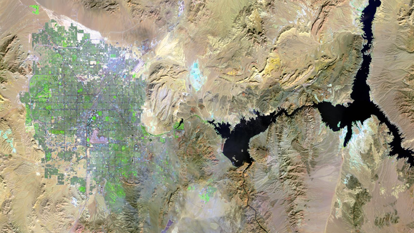
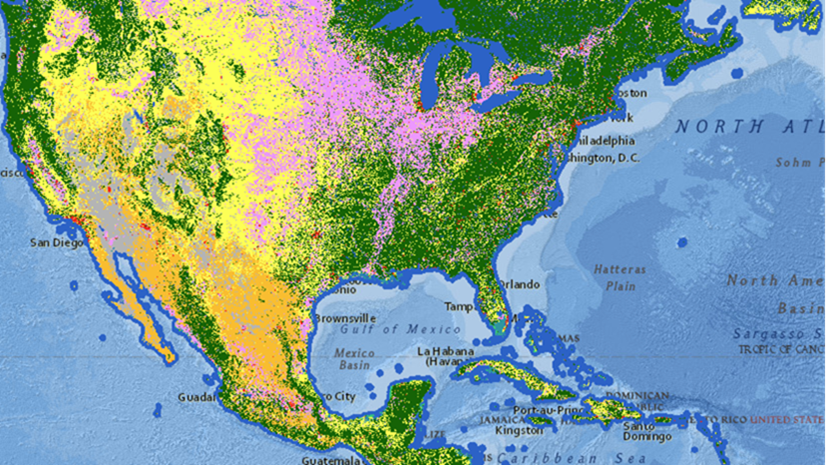
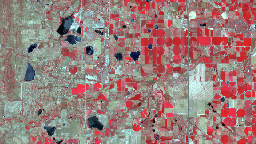
ArcGIS Image for ArcGIS Online is a SaaS that allows users and organizations to host, visualize, analyze, and share imagery in ArcGIS Online. As a member of the ArcGIS Image product suite, ArcGIS Image Online assists organizations in quickly managing and sharing their imagery data without the need for infrastructure. Once you have all your imagery data organized, ArcGIS Image Online then allows for analysis workflows, including deep learning. For this release, we are adding a new raster analysis user experience for the Map Viewer and raster function support for tiled imagery layers will be available as part of the beta program.
Raster Analysis in Map Viewer
Raster analysis tools let you use imagery and feature layers to analyze your data in combination with environment settings for a user experience similar to desktop applications, like ArcGIS Pro.
If you are an ArcGIS Image user, you probably know that the raster analysis tools have been available in Map Viewer Classic for several releases. However, these tools are now available in Map Viewer with a new user experience that contains new features, such as a search bar (enabling you to quickly locate tools) and a record of your analysis history (letting you maintain a record of which tools and parameters you have used in your map).
Access this new user experience in Map Viewer by selecting on the Analysis tab and locating the desired tool. You can still browse through the tool folders to access a tool, but now you can type in a keyword in the search bar and locate the tool that way.

In addition to the feature analysis tools, you can also access twenty-four raster analysis tools have been added to Map Viewer, including deep learning and multidimensional tools. Many of these tools are also available in Map Viewer Classic. The Derive Continuous Flow and Surface Parameters are two new tools that have been added to Map Viewer for additional spatial analysis capabilities.
If you are not seeing the new tools in your map, then your organization’s administrator will need to grant certain privileges to allow imagery analysis. Please see this blog that outlines the steps to enable ArcGIS Image for ArcGIS Online.
The output of these tools will be ArcGIS Online items that you can use in web maps, share, or use in other applications. Since imagery layers are one of the primary outputs, you can also use them as input for other raster analysis tools to complete your work.
Once you have discovered your desired raster analysis tool, you can use the parameters for analysis and environment settings to create the desired output. Since you are using Map Viewer in ArcGIS Online, the output of the tool is ready to be shared or used as input for additional analysis as a feature layer, imagery layer, or table. The results of the raster analysis tools will appear as items in the ArcGIS Online location specified within the raster analysis tool.
Raster function template support for tiled imagery layers (new capability in beta)
With dynamic imagery layers in ArcGIS Image, you can use preset raster function templates (RFTs) within the map’s image display options. However, this capability was not originally possible with tiled imagery layers. Now, you can visualize tiled imagery layers with raster function templates. This functionality is currently in beta release for the ArcGIS Maps SDK for Javascript version 4.26. You can apply RFTs to tiled imagery layers and generate a new tiled imagery layer with this functionality, you can also use the RFT to visualize tiled imagery layers in your application. For more information, see this release notes page for information on how you can test the functionality.

Ready to take the next step
As an ArcGIS Image Online user, you can start exploring these new capabilities today. The Product Team is interested in your thoughts and ideas as you explore. Influence the direction of future releases when you visit us and leave a comment via the Esri Community.
Are you still exploring what ArcGIS Image Online can do for you? Watch a demo and see what others are saying about the product, such as Skytec, LLC, the City of Johns Creek, and the City of Yakima.

Article Discussion: