The ArcGIS Living Atlas of the World provides foundational elevation layers and tools to support analysis and visualization across the ArcGIS system. These layers are updated quarterly with high-resolution elevation data from federal agencies, open sources, and the Community Maps Program. Esri offers these datasets as ready-to-use services that benefit the GIS community and extend the use of data in new and innovative ways. In this release, World Elevation Layers have been updated with numerous lidar-derived high-resolution Digital Terrain Models (DTMs).
Terrain and TopoBathy layers are updated with:
- DGT’s lidar-derived 50-centimeter DTMs covering mainland Portugal, excluding the northwest zone, which is not yet available.
- ČUZK’s lidar-derived 2-meter DTMs covering the entire Czech Republic.
- Lidar-derived 1-meter DTMs covering Moreton Bay City, Australia.
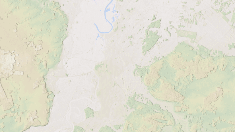
- Land Information New Zealand’s (LINZ) lidar-derived 1-meter DTMs covering partial areas of New Zealand. This release adds approximately 40,400 sq km (~15,600 sq mi) of new data, bringing total coverage to ~225,000 sq km (~86,900 sq mi), as shown in the map below.

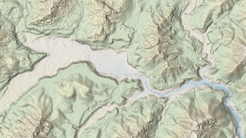
- Expanded coverage of USGS 3DEP 1-meter lidar-derived DTMs for areas of the conterminous United States. This release adds approximately 133,420 sq km (~51,510 sq mi) of new coverage, as shown in the map below.

- The latest USGS 1/3 arc-second (~10 meters) seamless DEM dataset for the United States, covering the 48 conterminous states, Hawaii, Alaska, and U.S. territories.
- The latest USGS 1 arc-second (~30 meters) seamless DEM dataset for the conterminous United States, Alaska, Hawaii, Canada, and Mexico.
Ready-To-Use Elevation Tools:
Ready-To-Use Elevation Tools (Profile, Viewshed and Summarize Elevation) have also been updated with the latest USGS 3DEP 1/3 arc-second and 1 arc-second datasets.
Let’s explore a few examples that highlight the improvements.


These data updates are tentatively scheduled to be rolled out to the world elevation tiled services, including Elevation 3D (Terrain3D and TopoBathy3D) and Hillshade (World Hillshade and World Hillshade (Dark)), by the end of the next quarter.
To view the coverage extents of each source comprising the World Elevation services, check out the World Elevation Coverage Map.
You can help in improving these services by contributing high-resolution elevation data to Living Atlas of the World. To participate and learn more, check out the Esri Community Maps for Elevation program.

Article Discussion: