ArcGIS Living Atlas of the World provides foundation elevation layers to support analysis and visualization across the ArcGIS platform. In this release, a new Dark Hillshade layer is introduced and world elevation layers (Terrain and TopoBathy) are updated with the following elevation datasets:
- Lidar derived 1 meter DEMs from Land NRW covering state of Nordrhein-Westfalen, Germany;
- Lidar derived 1 meter DEMs from City of Vienna covering Vienna City, Austria;
- Lidar derived 5 meter DEMs from Land Salzburg and Land Vorarlberg covering States of Salzburg and Vorarlberg in Austria respectively;
- Lidar derived 1 meter DEMs from Scottish Government covering partial areas of Scotland;
- Lidar derived 1 meter DEMs from NRCS, USDA covering partial areas of the conterminous United States;
- Updates to 1/9 arc sec (~3 meter) DEMs from USGS 3DEP covering partial areas of the conterminous United States;
- Coastal Relief Models (CRM’s) at 3 arc sec (~ 93 meters) from NOAA covering United States Coast
Here are a few examples showing improvements.
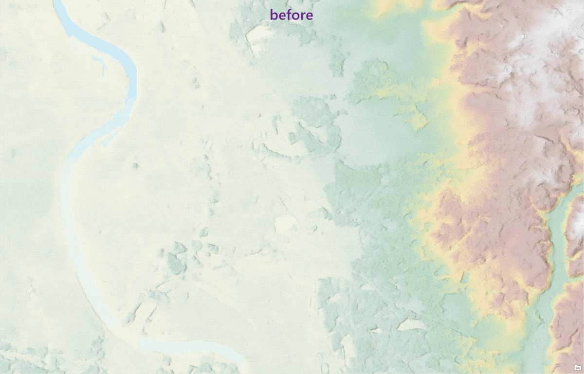
Nordrhein-Westfalen is the most populous state in Germany and with the addition of 1 m lidar derived bare earth elevation, it gains significant improvements over Airbus WorldDEM4Ortho 24 m data (which include trees/forest heights). The enhancements are specifically noticeable in urban areas and vegetation/forest areas. In the comparison below, forest areas are depicted as bare earth in the after image showing improvement.
Koln, Nordrhein-Westfalen, Germany – fine details depicted with 1 m lidar DTM over WorldDEM4Ortho 24 m
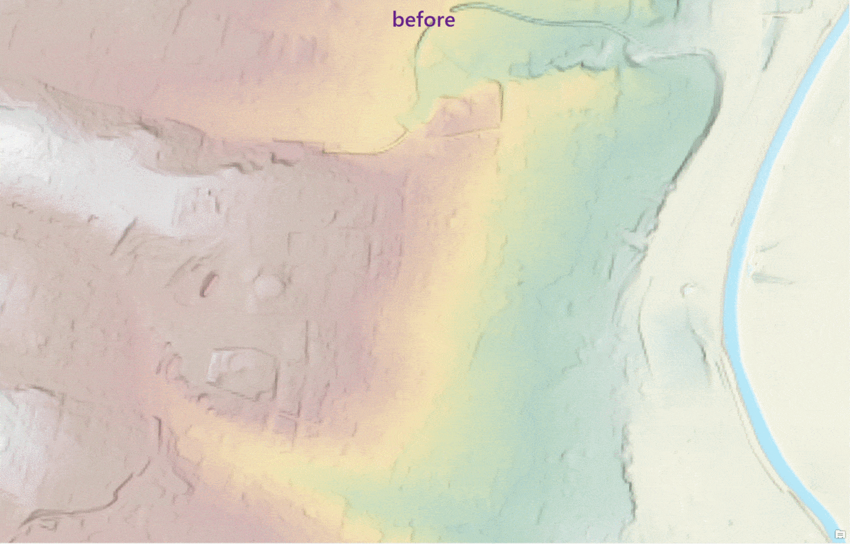
Vienna, Austria – Improvements shown with 1 m lidar DTM over 10 m Austria
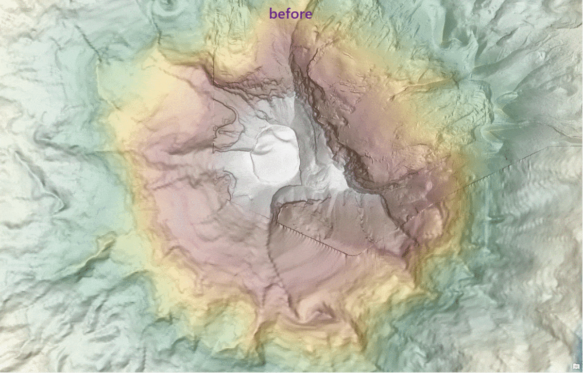
South Sister, Oregon – highest volcanic peak at 10,363 feet (3,159 m) among Three Sisters depicted fully with 1 m NRCS DTM over previously mixed resolution of 10 m & 3 m
These updates will also be rolled out to other world elevation derivative products – Elevation 3D (Terrain3D and TopoBathy3D) and World Hillshade by next quarter.
For more information about the various data sources available in World Elevation services, check out the Elevation coverage map. Esri will keep improving the World Elevation services, Tools and derivative products by including high resolution data from open source and the Esri Community Maps program. Additionally, to contribute high-resolution elevation data to Living Atlas of the World, check out the Esri Community Maps for Elevation program.

Commenting is not enabled for this article.