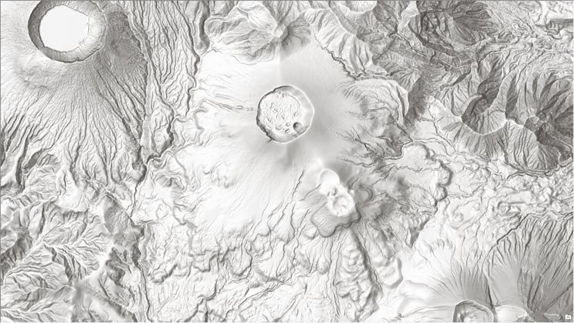
A few years ago, we introduced Multi-Directional Hillshade as a server raster function on World Elevation Services and later as a tiled basemap layer to use as a backdrop for topographical, soil, mining, and other outdoor recreational maps. These layers are part of ever growing authoritative content available in the ArcGIS Living Atlas of the World.
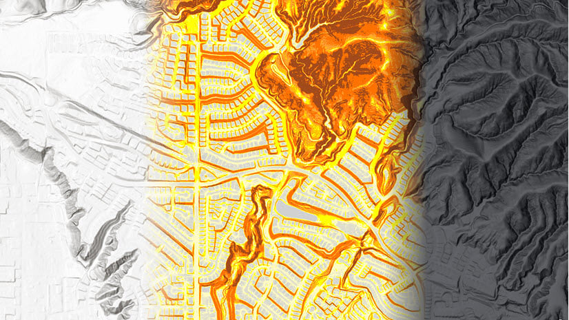
To complement the Multi-Directional Hillshade, we are excited to announce the release of Dark Hillshade as a tiled basemap layer. It was earlier available as a server raster function on the Terrain layer, which requires ArcGIS Organizational subscription. This dark gray hillshade supports bright colors and labels for your theme, enabling you to create compelling visualizations. It will draw attention to your thematic content and provide context when used as a backdrop.
Let’s take a look at a few examples how you can use dark hillshade to create stunning visualizations.
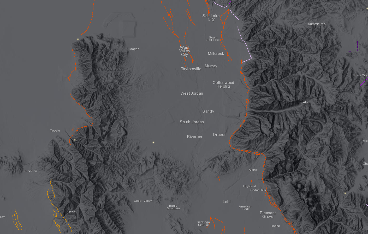
USGS earthquake faults over Utah (USA)
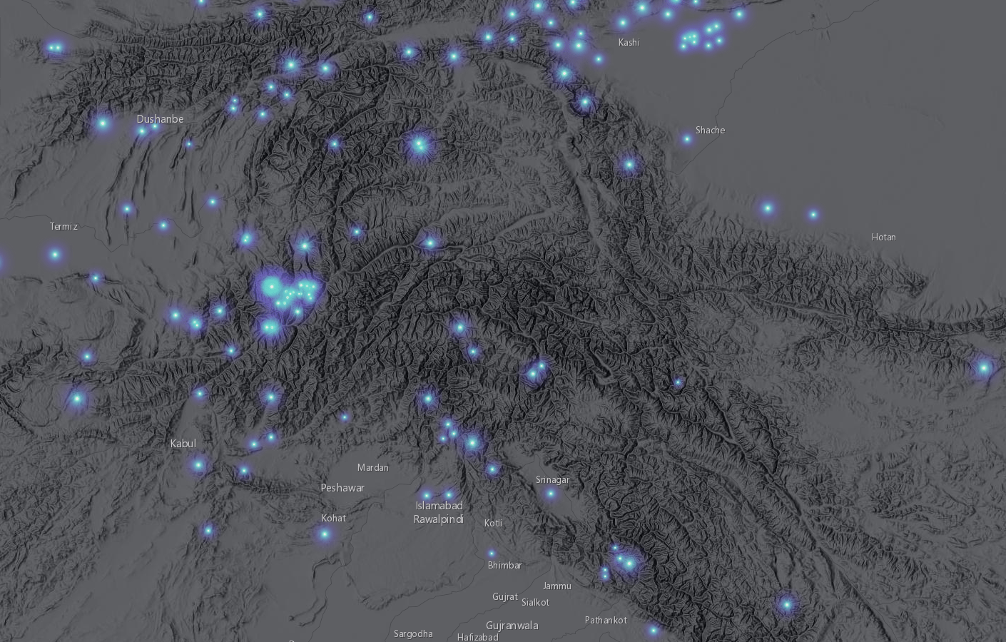
Major earthquakes depicted over central Asia
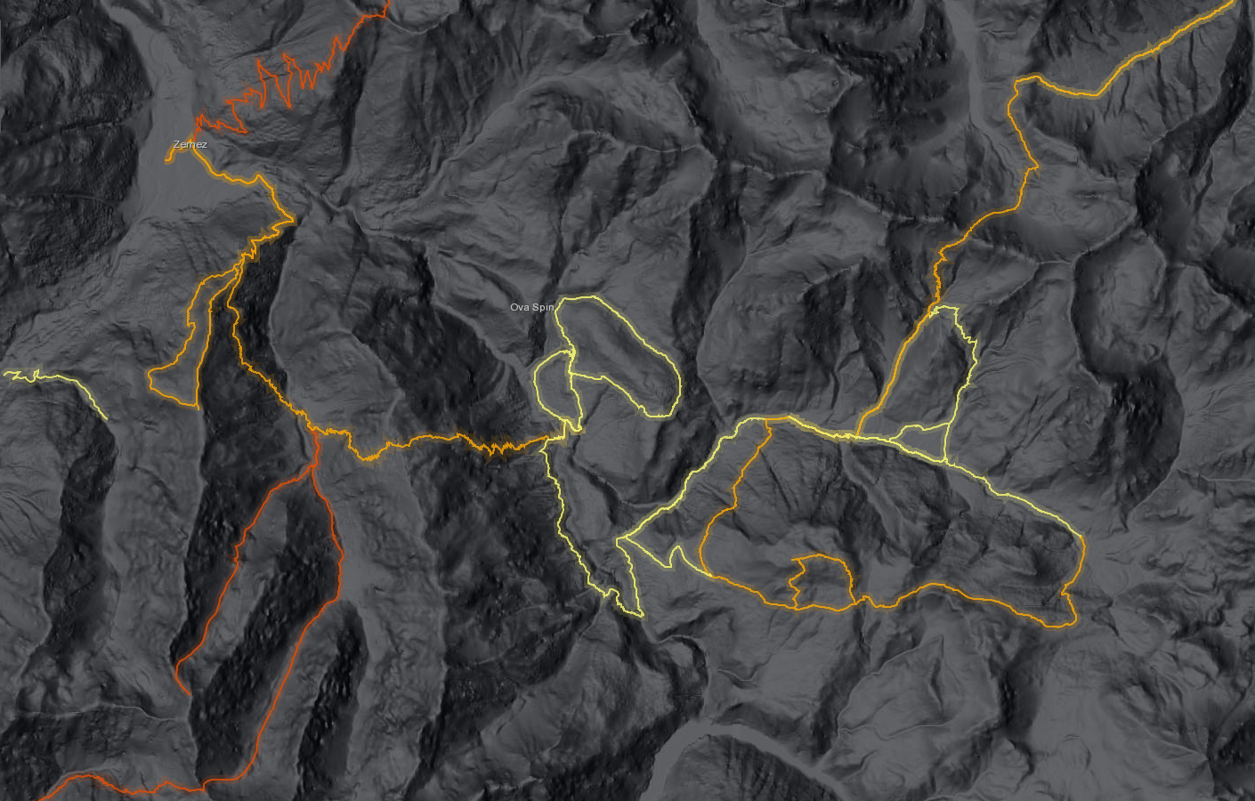
Hiking trails over Switzerland National Park (Europe)
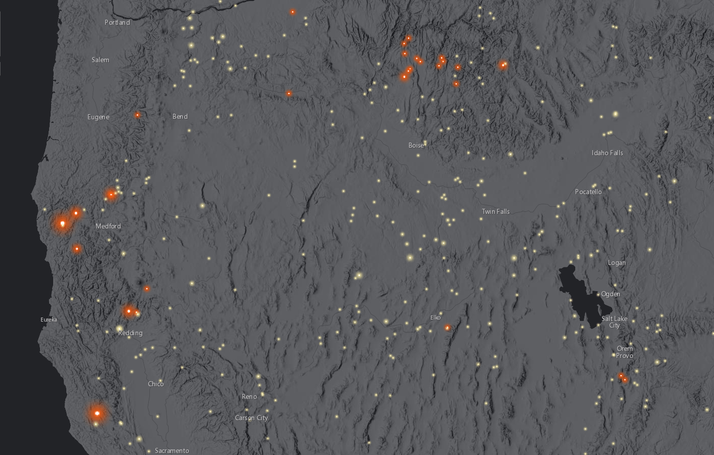
Wild fire activity over western USA
This newly released World Hillshade (Dark) tile layer is intended to provide fast and performant rendering to meet the needs of a basemap. It can be easily added to your desktop or web maps/apps from the Living Atlas of the World. You can use this webmap, which contains World Hillshade (Dark) along with ocean mask (created using Esri vector tile set), to get a quick start.
The new dark hillshade provides perfect relief backdrop for thematic overlays and will take your terrain mapping to new heights. Can’t wait to see your work using this new hillshade.
Happy Terrain Mapping!


Commenting is not enabled for this article.