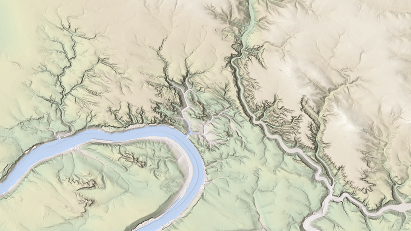
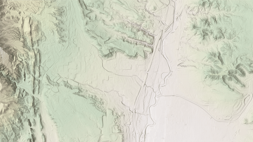
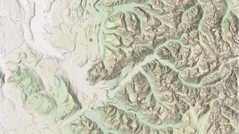
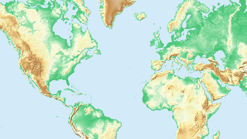
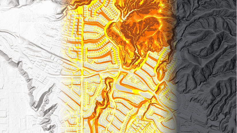
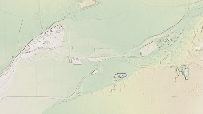
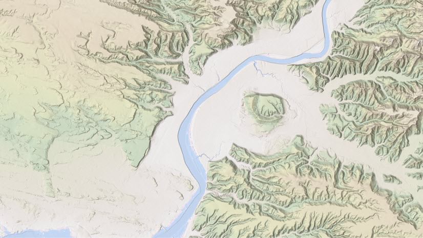
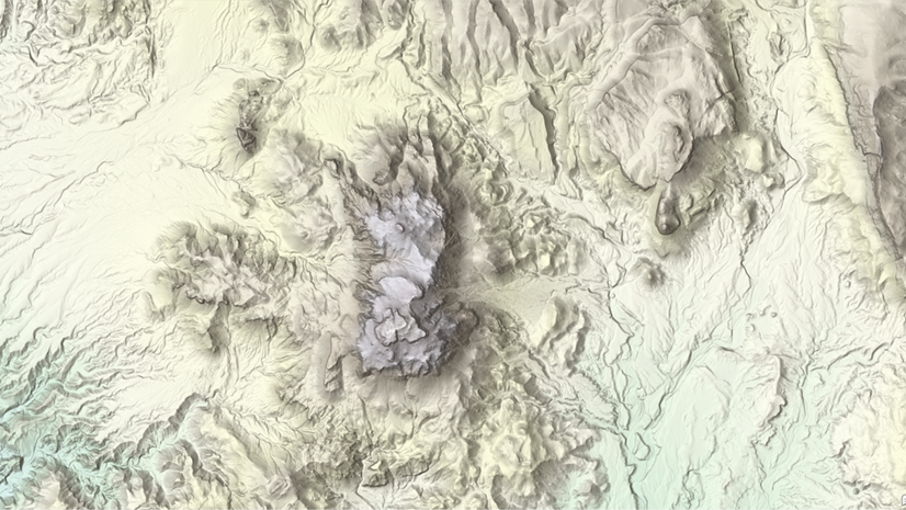
Rajinder Nagi
Connect:

Rajinder has more than 19 years of experience in GIS and Remote Sensing. In his current role, he leads the community elevation program at Esri and has wide experience in cartographic visualization, image processing, databases and geo-processing. Rajinder has developed a multi-directional hillshade (esriurl.com/NextGenHillshade) algorithm to improve terrain visualization in Esri basemaps. He has also developed a fusion technique (esriurl.com/NAGIfusion) which maintains details and colors when integrating colored rasters with hillshades. Rajinder holds a Master of Science degree in Geoinformatics and a Bachelor of Science degree in Urban & Regional Planning.

Posts by this author
High resolution data updates to Living Atlas World Elevation Layers (April 2024)

In April 2024, elevation layers have been updated with high-res datasets of Wales, New Zealand & German states of Bavaria, Saxony and Brandenburg

Continue Reading

High resolution data updates to Living Atlas World Elevation Layers and Tools (October 2023)

In October 2023, elevation layers have been updated with high-res datasets of France, New Zealand, USA, Italy along with global bathymetry

Continue Reading

High resolution data updates to Living Atlas World Elevation Layers and Tools (June 2023)

In June 2023 release, elevation layers have been updated with lidar derived high-resolution datasets of England, New Zealand and USA

Continue Reading

High resolution data updates to Living Atlas World Elevation Layers (March 2023)

In March 2023, elevation layers have been updated with many high-res datasets covering Hong Kong, Slovenia, Germany, NSW Australia, Poland and US

Continue Reading

Explore Antarctica’s topography with the British Antarctic Survey

Explore the Antarctic's coastline and contours from the British Antarctic Survey that are available in the ArcGIS Living Atlas.

Continue Reading

High resolution data updates to Living Atlas World Elevation Layers and Tools (December 2022)

In December 2022, world elevation layers have been updated with high-resolution DTM’s of Poland, New Zealand, Northern Ireland and USA.

Continue Reading

High resolution data updates to Living Atlas World Elevation Layers and Tools (October 2022)

In October 2022, world elevation layers have been updated with lidar derived high-res Digital Terrain Models of USA, Netherlands and Denmark.

Continue Reading

High resolution data updates to Living Atlas World Elevation Layers and Tools (June 2022)

In June 2022, world elevation layers have been updated with lidar derived high-resolution Digital Terrain Models of USA and Finland.

Continue Reading

Data updates to Living Atlas World Elevation Layers and Tools (March 2022)

In March 2022, world elevation layers are updated with high-resolution data of Canada, New Zealand, USA along with Canada’s west coast bathymetry

Continue Reading

1 2 3 5