Without detailed maps of surface water features, engineers, scientists, and policy makers are unable to understand ecosystem functions, assess flood risk, or effectively manage critical freshwater supplies. However, in many other parts of the world, detailed maps of river networks and watersheds are lacking. Since 2006, HydroSHEDS has filled this gap as one of the world’s most widely used hydrographic frameworks.
Recently, Esri has partnered with the developer of HydroSHEDS, Confluvio Consulting, along with other international organizations to develop a higher resolution, more accurate network of streams and rivers for North and South America. HydroSHEDS 2.0 is now available in the Living Atlas.
You can read more about this partnership here.
What’s available from HydrSHEDS 2.0?
Three services are available in Living Atlas:
- River Streamlines: The centerline features for each stream and river. The layer provides attributes that describe flow direction, the upstream and downstream segments, along with information about the total stream network.
- River Nodes: The node points define the start/end of a stream segment.
- Basins: The drainage catchment area for each streamline segment.
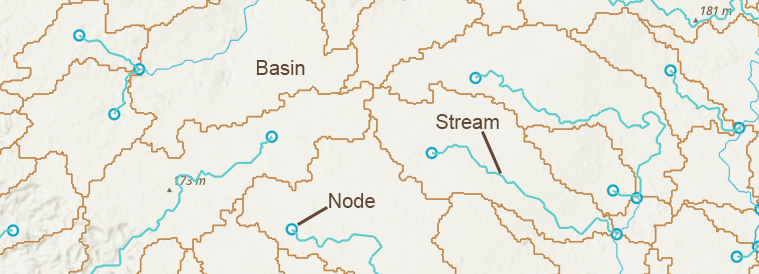
Working with HydroSHEDS 2.0
There are over 20 million river segments in this database, which means it is an incredibly data-dense set of layers. To improve performance, the streamlines are broken into a series of layers based on the Strahler stream order, which defines how many other upstream segments flow into the river. The higher the number, the larger and more complex the river network. By zooming into the layer, additional detail is revealed for smaller stream orders. Nodes and basins are also constrained to display features only at larger scales.
Since nodes, basins, and streamlines are all related, each feature has a unique identifier that can be used to associate one with another.
Because of the size of this dataset, exporting from the service is limited to 2,000 features. Bulk downloads are available from HydroSHEDS.org.
Exploring HydroSHEDS 2.0
Let’s take a look at some of the details revealed by HydroSHEDS 2.0.
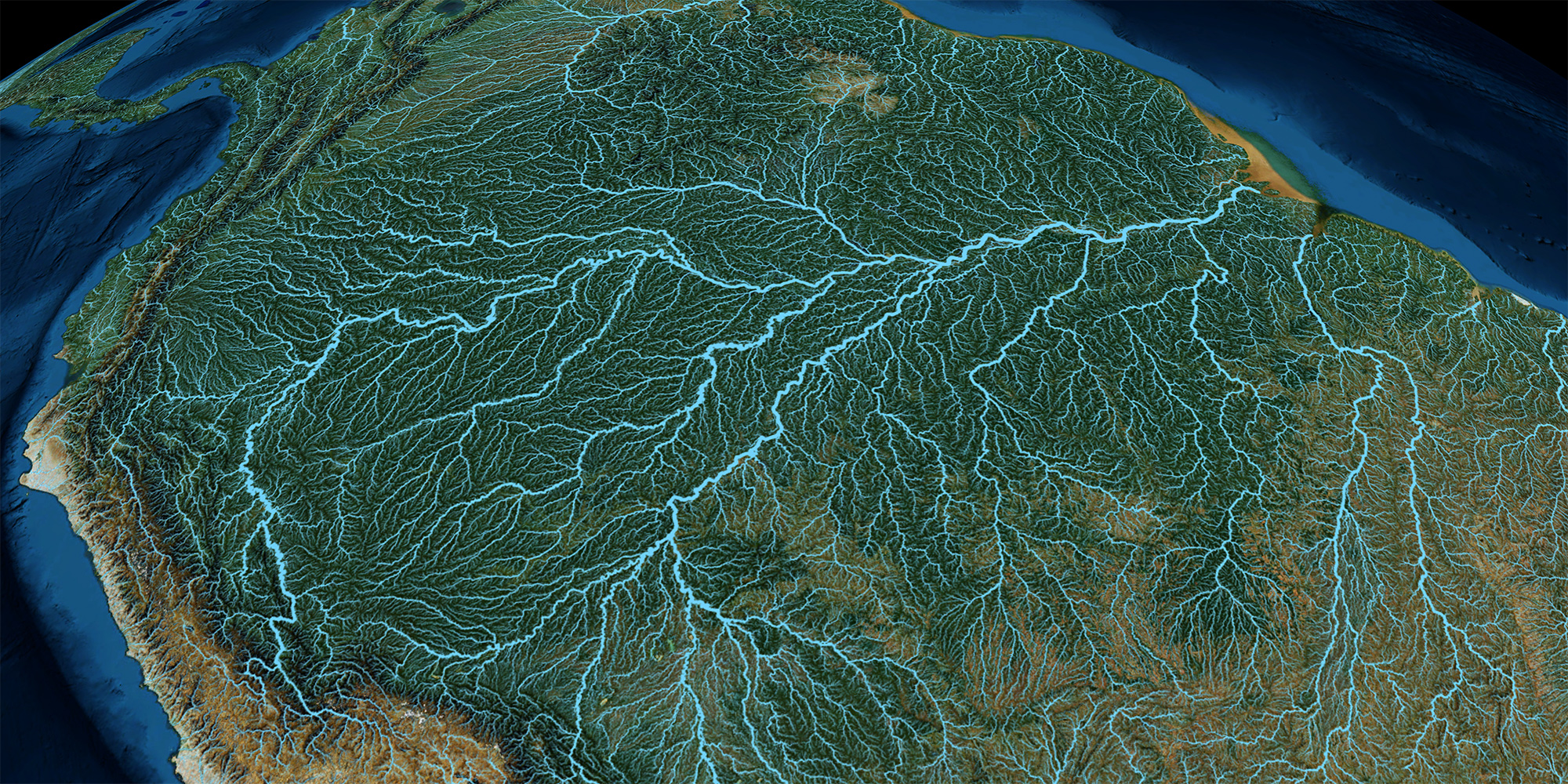
The mighty Amazon River and the vast network of stream within its drainage basin
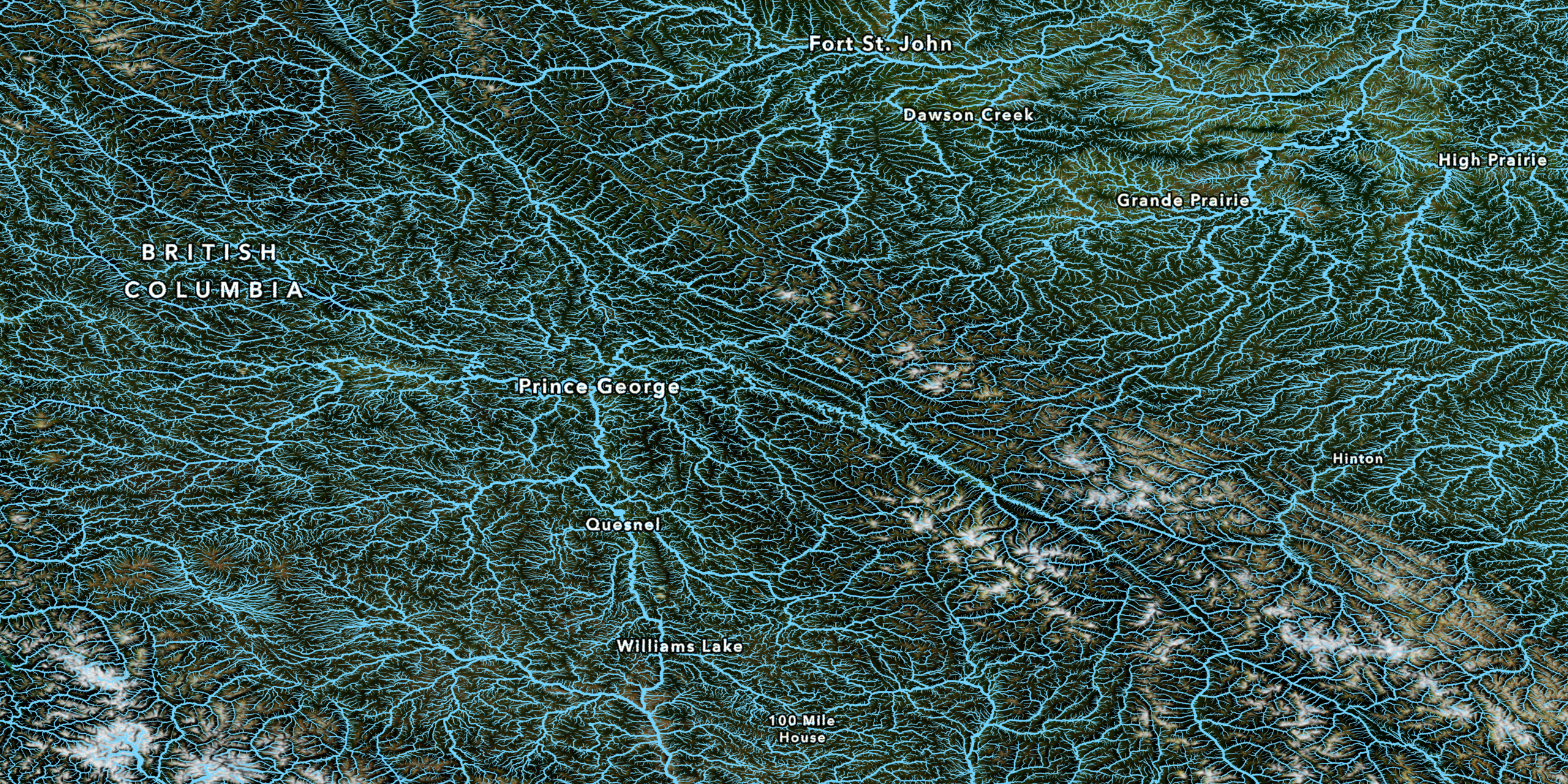
Moving to North America, another complex river network can be seen across the mountain ranges in British Columbia
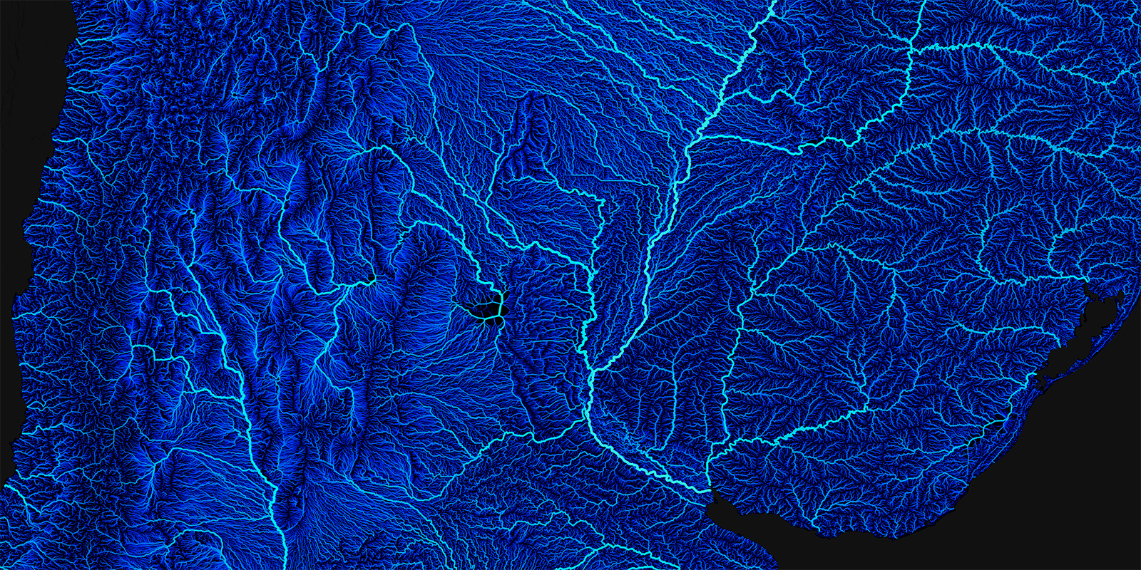
Using a dark basemap also helps to reveal the subtle detail of the data, as we see here around Argentina, Chile, and Uruguay.
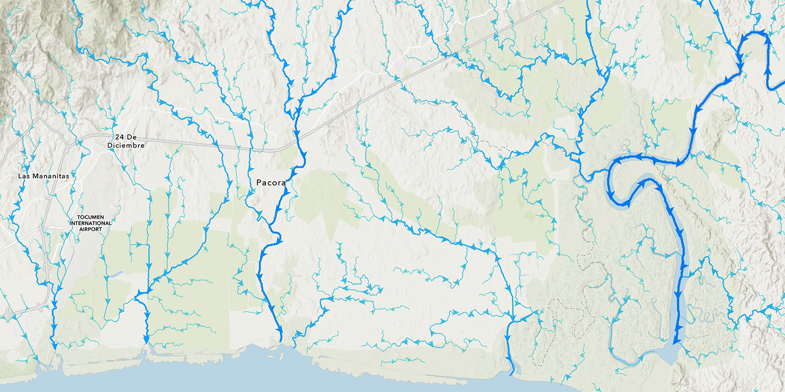
Applying arrow styles helps to delineate the flow direction for each river and stream.
Coming Soon!
In addition to these detailed feature layers, raster layers used to derive the stream networks will be made available as layers optimized for analysis in ArcGIS Online. Be sure to follow Living Atlas in the Esri Community to get updates. Find more information on HydroSHEDS 2.0 here.

Article Discussion: