New Look
The June update of ArcGIS Online introduces a fresh new look for the Data tab. The vertical navigation toolbar offers ease of access between the Table and Fields page. Key workflows from the Table and Fields page have been updated to match the existing experiences in Map Viewer. In addition to the Table and Fields page, the Update Data and the Calculate Field workflows are now also accessible through the vertical navigation toolbar. Keep reading to learn more about the new updates we’ve made to the Data tab to facilitate your data management workflows.
Viewing your data
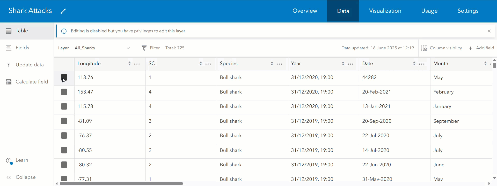
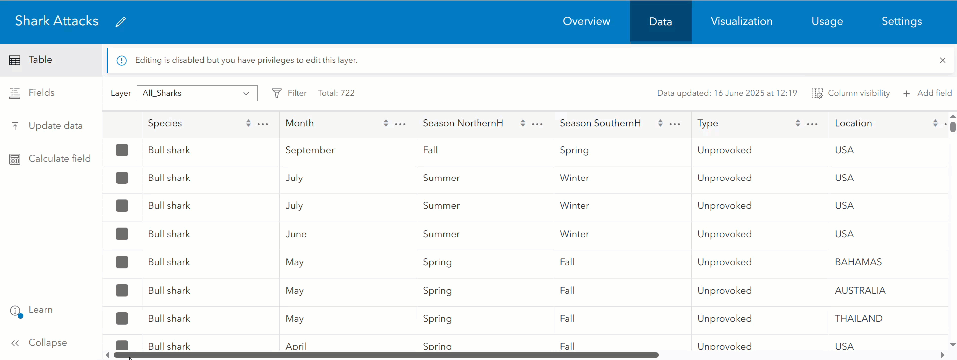
One of the main features of the Data Tab is the ability to explore your data within the table. Now you can identify patterns, browse attachments, and traverse relationships in a way thats consistent with the Map Viewer.
You can now temporarily filter the displayed features to focus on those you’re interested in. Just click the filter button and enter an expression. Sort the table by clicking the column header or by clicking the ellipsis next to the field name to open a menu containing relevant sort actions. You can also further refine the way you visualize tabular data by sorting on multiple fields. When sorting by multiple fields, a number representing the sort priority will appear next to the field name. These modifications to the table are temporary and will disappear once you have navigated away from the table.

Data owners and administrators can also make lasting changes to refine how others view their data by saving filters and table configurations to their hosted layers. Once a filter is applied and saved on the Visualization tab, or saved to the layer item in the Map Viewer, this filter will be honored in the table. Likewise, table configuration such as column visibility, field order, and sort order will also be respected when set in the attribute table and saved to the item. In addition to the saved changes, other viewers of your data can still choose to do further temporary filtering, sorting, hiding, or ordering as needed from the Data tab’s table. Editors will already be familiar with the ability to add or delete fields and edit attributes in the table. Now, those with the appropriate privileges can also select one or more rows of data to delete at once.
Like before, access and explore multiple levels of related records directly from the table. Use the newly added breadcrumb headers for simplified table navigation between related tables. With the latest update, you can manage attachments directly in the table. This includes viewing and downloading attachments, and with the appropriate privileges you can also add, update, and delete attachments.
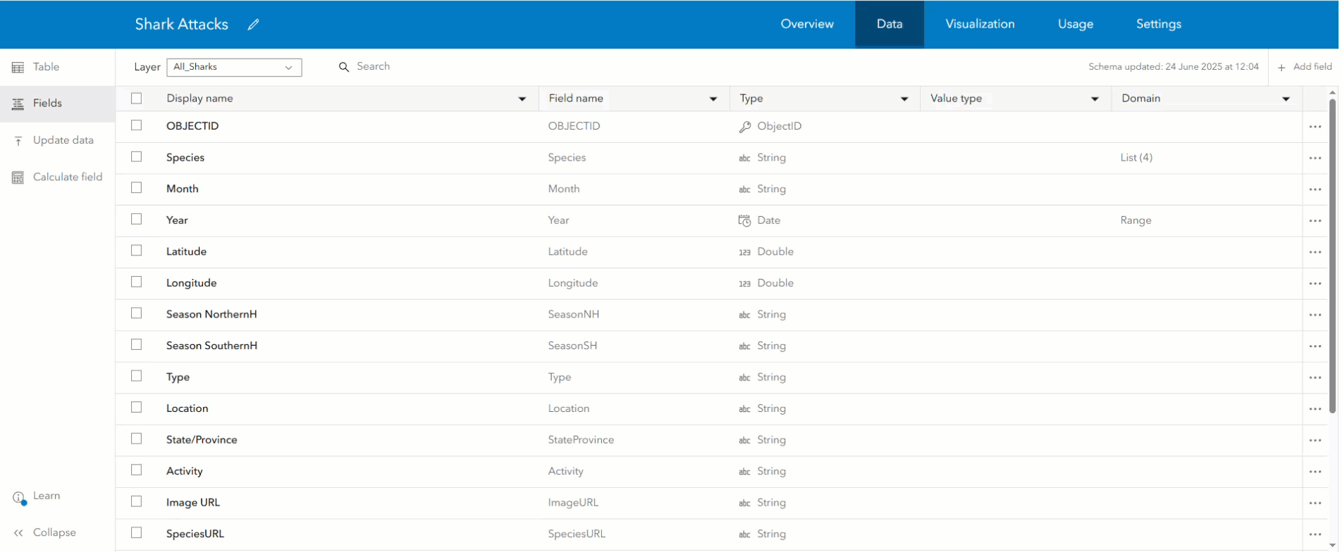
Working with Fields
The Fields page provides a detailed look at your data’s fields and schema. Information such as field type, value type, and the presence and type of domain can be seen here. This is also where you can quickly add or delete multiple fields from your layer. By using the same add field experience as Map Viewer, users now can add GUID and GlobalID fields directly to the layer. Also new this June is the ability to assign a value type and field description to communicate what data the field contains.
To view a field’s details, click directly on a field row or select the ellipsis to the side of the field and press “View more details.” The detailed view of a field provides additional field properties such as the description, default value, and statistics. The detailed field view also provides entry points to key data management actions including domain creation and the calculate field workflow, which has been updated to match Map Viewer’s experience. Individual sections within the detailed view can be collapsed as needed, and the state of each section will be honored on the detailed field view for other fields in the layer.
Improving Domains
Two essential data quality safeguards, lists and ranges of values, are now called domains in ArcGIS Online. This change was made to adopt consistent terminology between ArcGIS Online and ArcGIS Pro. Data editors and administrators should be aware that list domain authoring has been improved in some major ways:
- Up to 2,000 label/code pairs can now be imported from a two column CSV file.
- As new values are added to a dataset, they can be identified and added into the existing domain via the “Find missing values” action. This is a change from the previous experience where the “Generate list” action was unavailable for existing lists.
- List and range domain creation is now supported on Date, Date only, and Time only fields, in addition to the previously supported field types.
Keep an eye out in the future for a more detailed blog that talks about some of the recent changes we’ve made to the domain authoring experience in ArcGIS Online.
Key workflows (Update Data & Calculate Field)
Update data and Calculate field are two of the key workflows available in the Data tab and now have dedicated actions in the vertical navigation toolbar. Select the Update data action to launch the dialog. After updating the data, the Table page will be automatically opened to allow you to view any data updates.
If you are a data owner or administrator, the Calculate field workflow is available from the table, field page, or the vertical navigation toolbar. Using the same experience as the Map Viewer, preview calculated values before running calculations to make sure your results appear as expected. If you’ve executed your calculation and you’d like to repeat it in the future, you can also download a copy of the calculation script. If you must perform multiple calculations, select the “Do another calculation” button once the calculation is successful. Then, use the layer and/or field dropdown to change the active field before running another calculation.
Explore and share
We hope that the updated Data tab will help streamline your data management and data exploration workflows. Field management is made quicker with multiple locations to calculate, add, or delete fields. Preview calculations, interact with attachments from the table, and experience the improved domain creation options. If you have thoughts about the Data tab, let us know what you think on Esri Community so we can continue to make helpful improvements in future updates.

Article Discussion: