ArcGIS Image for ArcGIS Online is a SaaS that allows users and organizations to host, visualize, analyze, and share imagery in ArcGIS Online. As a member of the ArcGIS Image product suite, ArcGIS Image Online assists organizations in quickly managing and sharing their imagery data without the need for infrastructure. Once you have all your imagery data organized, ArcGIS Image Online then allows for analysis workflows, including deep learning. For this update, we are adding more raster functions, new raster analysis tools, and previews for on-the-fly analysis.
Raster functions in Map Viewer
For this release, there were seventeen more raster functions added to Map Viewer to power your analysis and visualization. The Geometric Median and Least Cost Corridor raster functions were also added for additional analysis, as well as, other raster functions that were not available previously. These raster functions can be used in raster function templates with the raster functions that were added previously to create new visualization options.
The added raster functions include:
- Apparent Reflectance
- Constant
- Distance Accumulation
- Distance Allocation
- Focal Statistics
- Interpolate Raster by Dimension
- Geometric Median
- Least Cost Corridor
- Multidimensional Filter
- Process Raster Collection
- Random
- RasterInfo
- Recast
- Reproject
- Spectral Conversion
- Statistics and Histogram
- Transpose Bits
Now there are over 162 raster functions available to power your analysis and visualization of imagery layers in Map Viewer.

Preview raster functions
In Map Viewer, unlike ArcGIS Pro, running a raster function creates a new imagery layer, which can be shared with others and used in subsequent analysis. Since an imagery layer is created, it is important to be sure that the output you are generating is correct. For raster functions except the global ones, you can preview the output of the raster function prior to running the process and creating a new imagery layer. These previews will allow you to see if the output meets your expectation in the webmap. You can also maintain several previews to compare how altering the parameters affect the output.

New raster analysis tools
There are four new raster analysis tools to augment your workflows. The four new tools are:
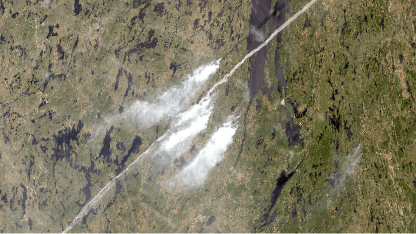
- Detect Change Using Deep Learning – runs a trained deep learning model to detect change between two raster layers.
- Locate Regions – identifies the best regions in the input raster that meet specified size requirements and spatial constraints.
- Multidimensional Principal Components – transforms the multidimensional imagery layers into a reduced number of components that account for the variance of the data.
- Nibble – replaces cells of a raster corresponding to a mask with the values of the nearest neighbor.

Credit threshold
There is a new analysis environment setting available in Map Viewer to give more control over your credit consumption when using raster analysis tools. The credit threshold can now be set at the webmap level. Users can accept the default threshold value of 100 or set their own level based on their organization needs. This threshold will trigger a warning to the user when they run the tool or raster function and the estimated credits exceed the credit threshold. From the Credit threshold reached warning message, you can still proceed with the tool or raster function from this message, or cancel it and adjust the parameters.

In the above screenshot, the threshold was set to 2 for the example.
Ready to take the next step?
As an ArcGIS Image Online user, you can start exploring these new capabilities today. The Product Team is interested in your thoughts and ideas as you explore. Influence the direction of future releases when you visit us and leave a comment via the ArcGIS Image for ArcGIS Online community on Esri Community.
Are you interested in further exploration of what ArcGIS Image Online can do for you? Watch a demo and see what others are saying about the product, such as Skytec, LLC, the City of Johns Creek, and the City of Yakima. You can also read a case study from the National Trust from the United Kingdom.


Article Discussion: