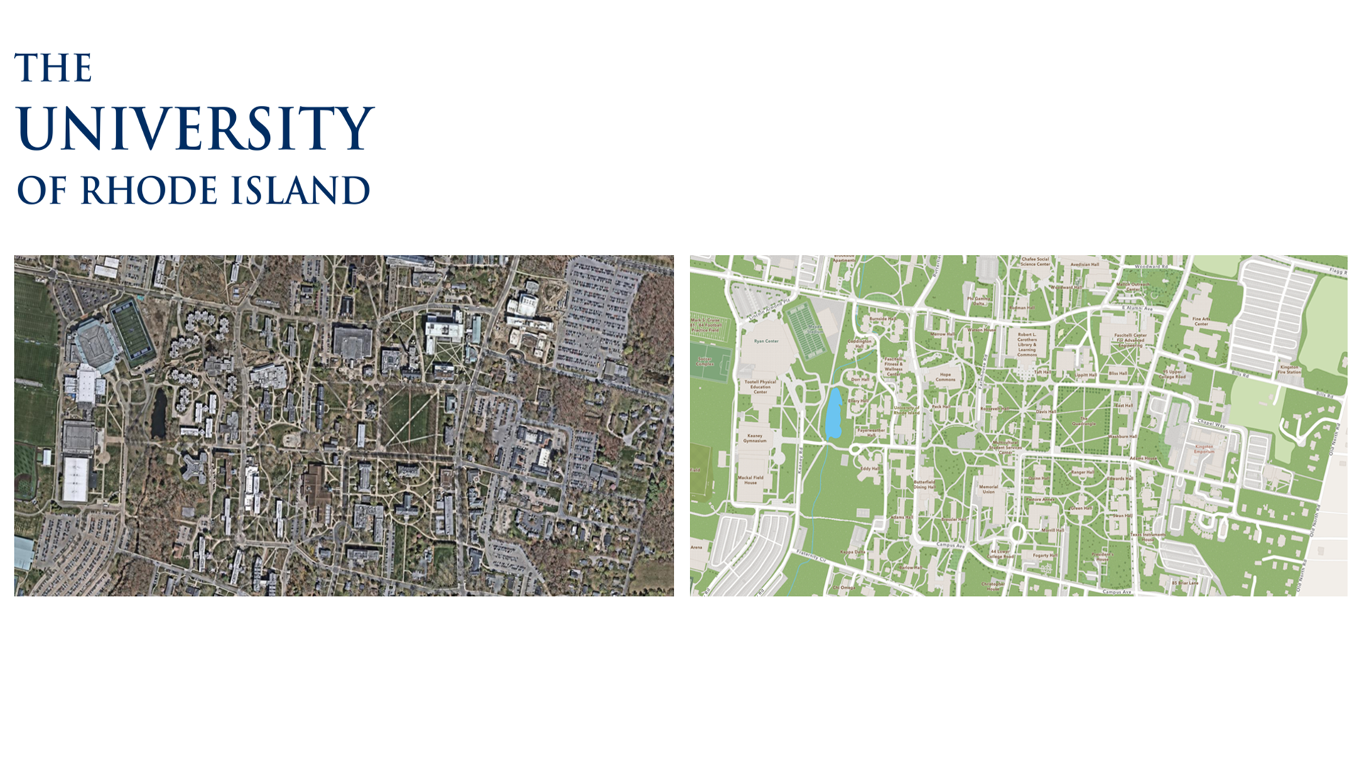
A Campus Transformed
Every day, thousands of people navigate the University of Rhode Island’s campuses. Students find residence halls, researchers locate laboratories, families attend events, and visitors explore unfamiliar facilities.
Behind those experiences is geographic information that helps people understand where they are and where they need to go.
The University of Rhode Island knows that the people who know a place best can also help make its maps better.
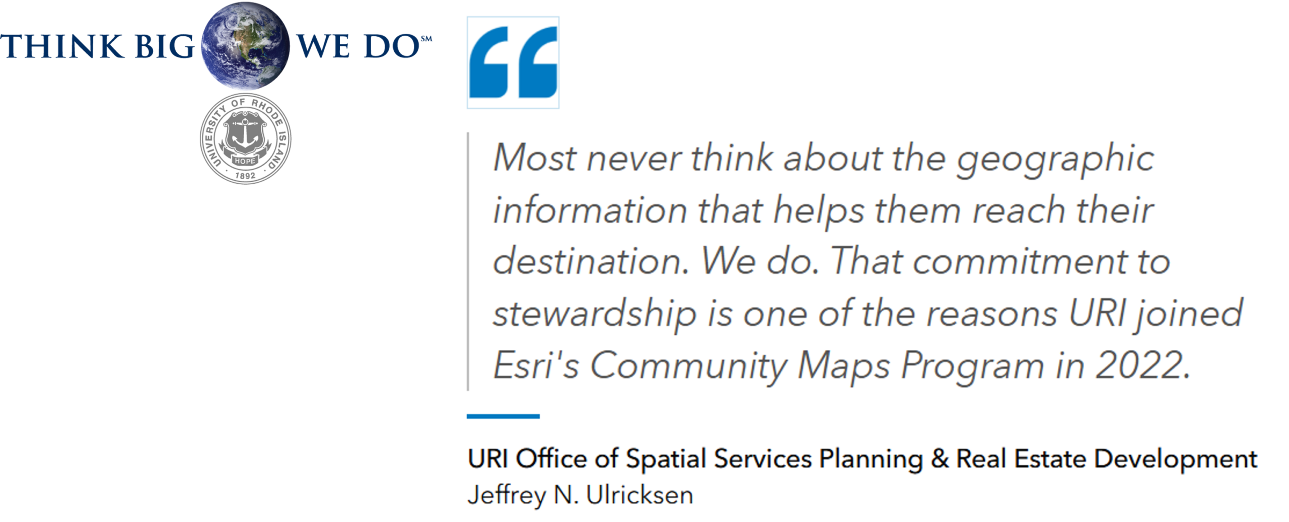
That belief is at the heart of URI’s participation in Esri’s Community Maps Program. Since registering in December 2022 and beginning its first data contribution in 2023, URI has contributed locally maintained campus information to the ArcGIS ecosystem—helping improve the representation of its campuses while using a trusted basemap to support GIS applications across the university.
For URI, Community Maps is more than a basemap. It is a way to turn local knowledge into a resource that benefits a global mapping community.
Why URI Chose To Participate
Esri basemaps provide geographic context for millions of users around the world. But no one knows a place better than the organizations that live and work there every day.
Universities are constantly changing. New buildings open, facilities are repurposed, pathways change, and campus points of interest evolve. Local GIS teams often know about those changes long before they appear in commercial map data.
Community Maps connects that local expertise with Esri’s global mapping ecosystem.
For URI, participation was a natural extension of the university’s growing enterprise GIS program. The team was establishing the foundation for indoor mapping, analytics, operational applications, and decision support, while also working with limited resources.
Rather than building and maintaining a basemap from scratch, URI could use Community Maps as a trusted starting point—and focus its GIS resources where they could create the greatest value.
As stewards of the university’s spatial data, URI continuously maintains trusted information about its campuses and properties. By sharing that information through Community Maps, the team can help ensure that changes are reflected more accurately in the maps used by students, visitors, researchers, and the broader public.
Rather than simply consuming maps, URI has the opportunity to contribute to them.
Sharing A Common Understanding of Place
At its core, GIS is about connecting people with information.
A prospective student looking for a residence hall, a researcher visiting a laboratory, a contractor locating a facility, or a family attending commencement all benefit from accurate geographic information.
Reliable representations of buildings, pathways, roads, and points of interest help people better understand and navigate the university.
But the value of accurate campus mapping extends beyond navigation.
Maintaining accurate spatial information helps preserve that knowledge and creates a common understanding of place.
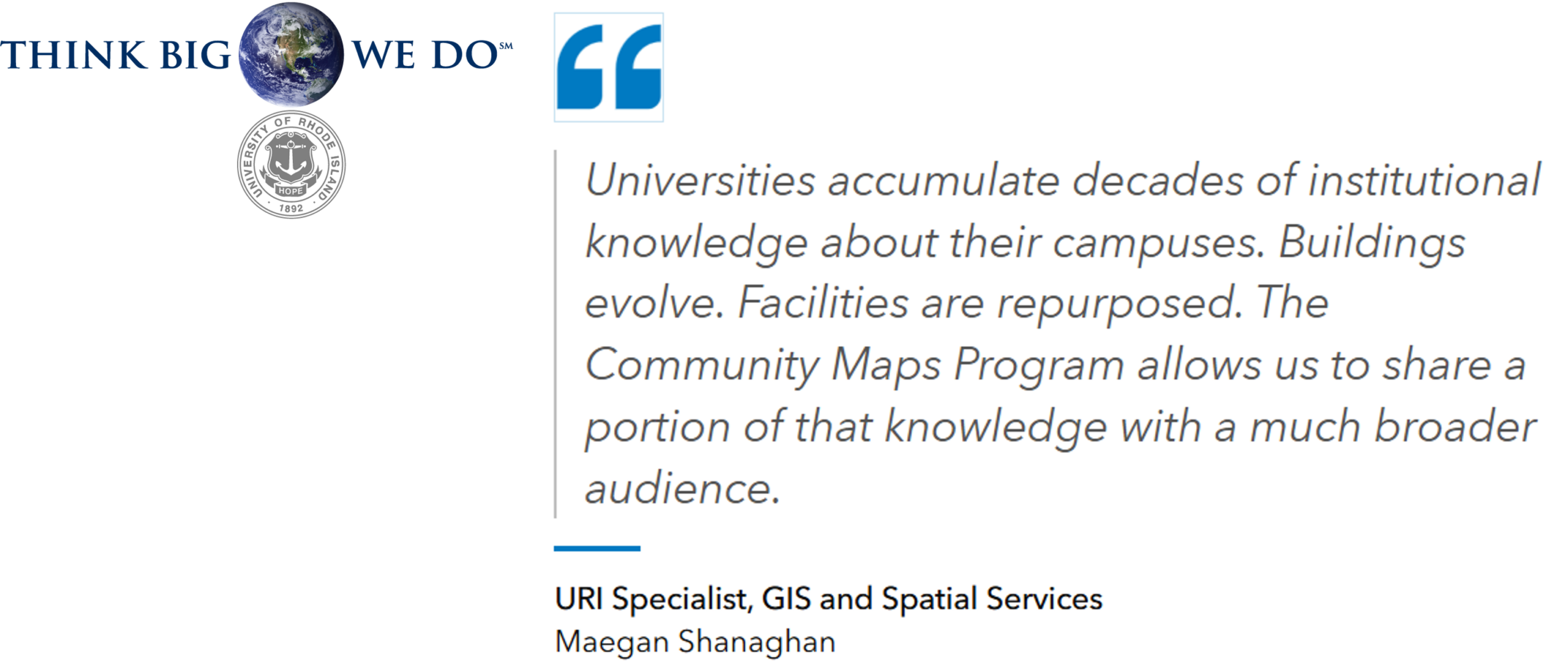
Through Community Maps, URI can share a portion of that knowledge beyond its GIS team and beyond the university.
Faculty, staff, and students can leverage the same campus information for teaching, research, academic projects, and university initiatives. URI’s Communications Department, for example, uses campus maps at the University Welcome Center. Since the publication of the university’s basemap, those printed maps are finally true-to-scale.
The surrounding communities benefit as well, gaining access to a more complete representation of university facilities, infrastructure, and points of interest.
Local knowledge becomes shared geographic context.
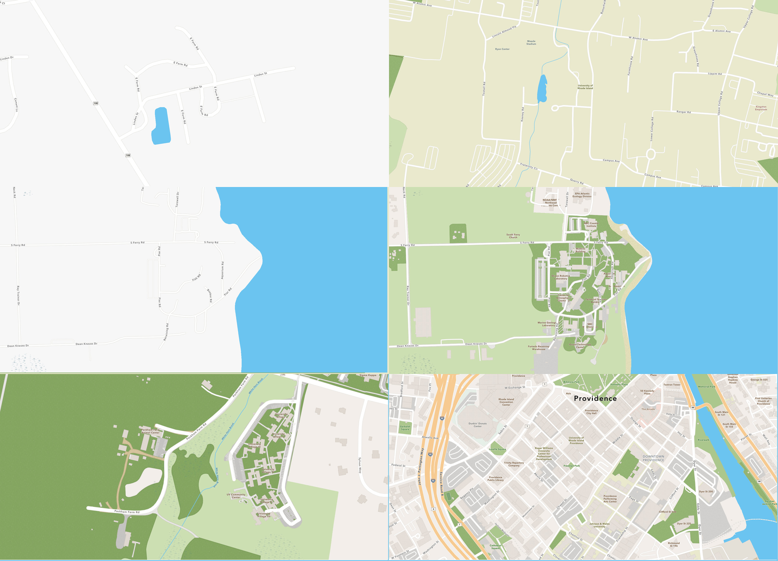
Representing A University That Extends Beyond One Campus
URI’s geographic footprint makes this shared resource particularly valuable.
While many people associate the university with its Kingston Campus, URI manages a diverse collection of properties across Rhode Island, including the Narragansett Bay Campus, Providence Campus, East Farm, and Peckham Farm. Each supports unique educational, research, and outreach missions.
Representing those locations accurately requires ongoing stewardship.
By contributing locally maintained data through Community Maps, URI helps ensure that its campuses and facilities are represented consistently throughout the ArcGIS ecosystem.
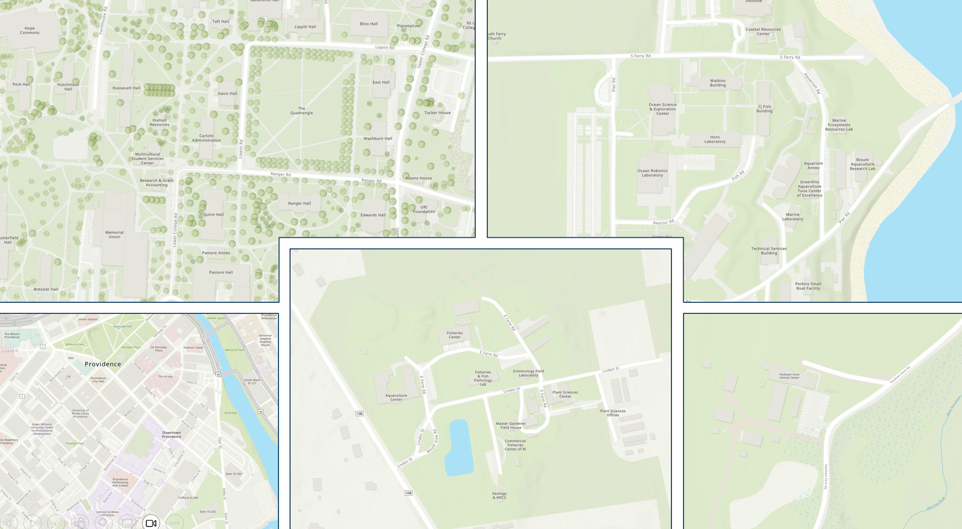
The result is a powerful exchange: URI’s subject matter experts contribute local knowledge, and that knowledge helps strengthen a global map.
Building on A Shared Framework
URI’s participation in Community Maps goes beyond contributing data. The Community Maps basemap has become the starting point for many of the GIS applications the university develops and maintains.
For a small GIS team, that shared framework is particularly valuable.
When URI developed its Geospatial Strategy, establishing a reliable campus basemap was identified as a foundational building block for long-term success. Before advancing governance, spatial data collection, indoor mapping, analytics, and other strategic initiatives, the university needed a trusted geographic framework.
Community Maps helped establish that foundation.
Instead of dedicating significant resources to building and maintaining basemap infrastructure, the team can focus on maintaining trusted campus information and developing GIS solutions that directly benefit the university community.
The shared basemap also creates consistency across URI’s web applications and campus initiatives. Students, faculty, staff, and visitors interact with the same underlying representation of the university.
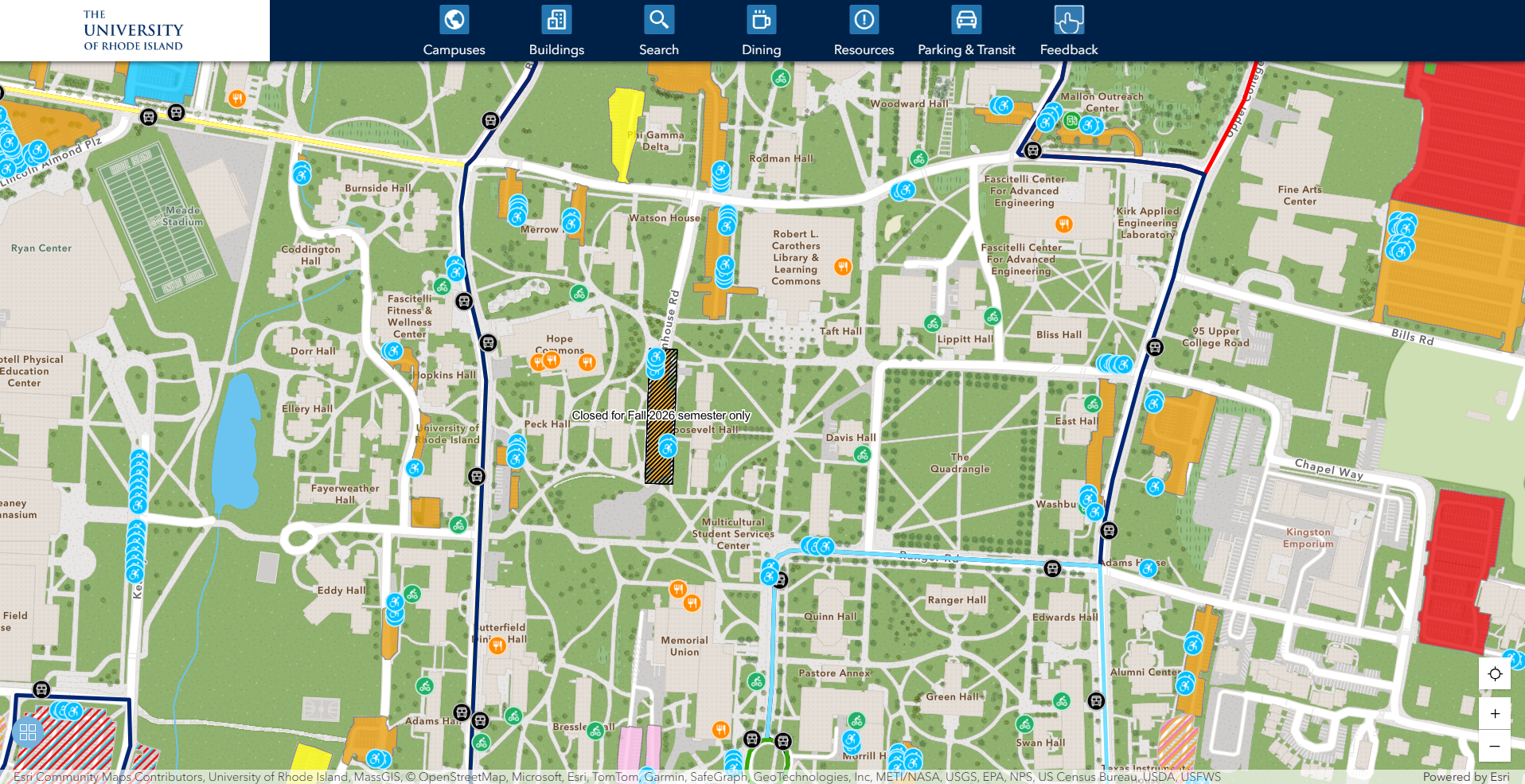
One example is URI’s new Interactive Campus Map. Built with ArcGIS Experience Builder, the application provides an intuitive way to explore URI’s campuses, locate buildings and points of interest, and access important campus information.
Because the application uses the same basemap URI helps improve through Community Maps, it benefits from current campus information maintained by the university.
URI contributes local knowledge to strengthen the map—and then builds on that map to create better experiences for its community.
Explore the URI Interactive Campus Map
URI’s Interactive Campus Map, built with ArcGIS Experience Builder, puts campus locations and information within reach of students, faculty, staff, and visitors. Click below to view.
Behind The Map: A Repeatable Production Process
The work behind a trusted basemap is ongoing. It involves preparing spatial data, reviewing how features appear, addressing quality concerns, and submitting updates so that improvements can be incorporated into the broader mapping ecosystem.
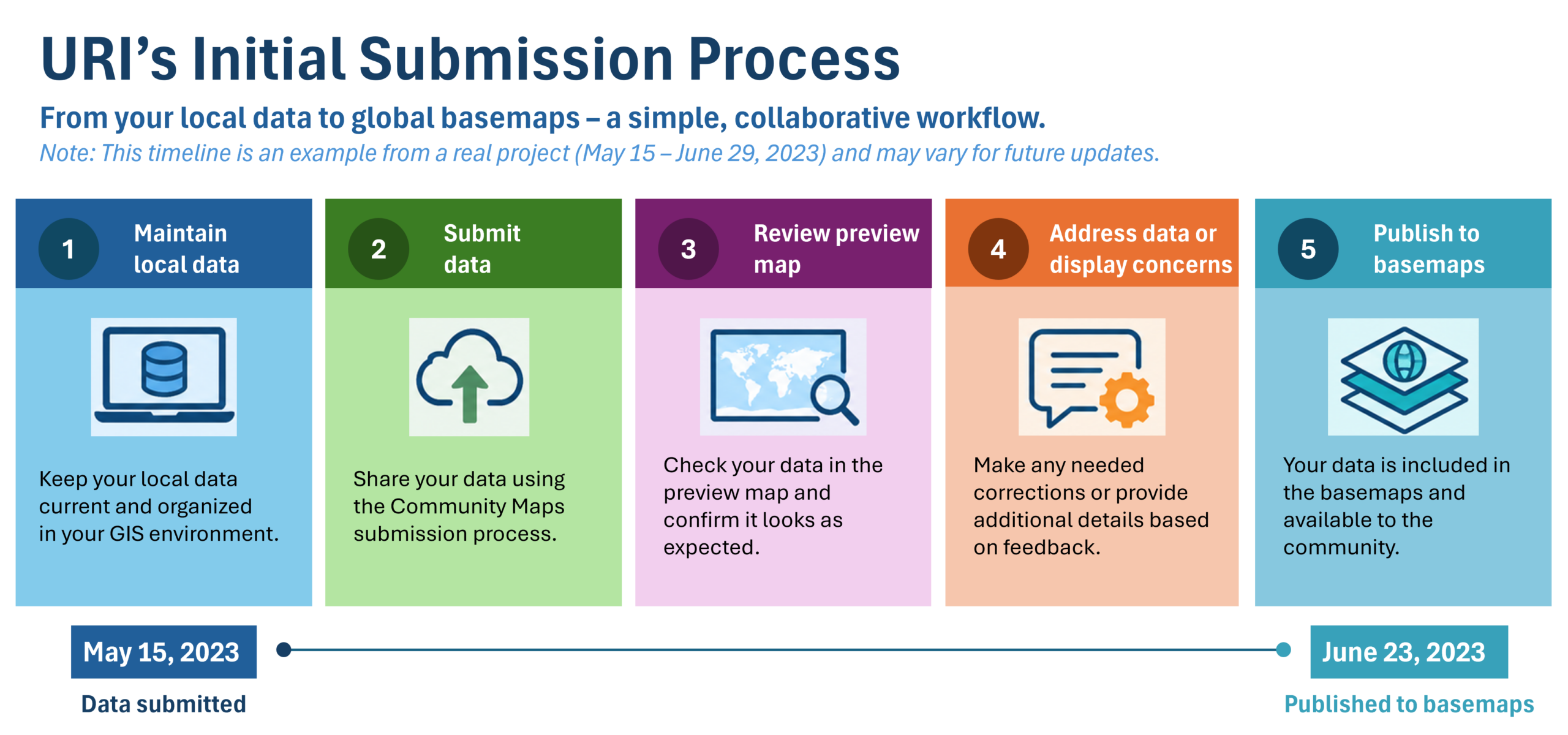
URI registered for Community Maps in December 2022, and service subscriptions were in place by May 2023 for its first contribution. The initial submission included several types of campus information: site areas, site lines, site points, trees, open space, buildings, and points of interest.
The submission process also provided an opportunity to review how the information appeared in a preview map. During that first review, the team addressed concerns involving the geometry of a waterbody and coastline, as well as the desired display of open-space polygons.
The data was submitted on May 15, 2023, and published to Esri basemaps by June 29, 2023.
URI’s submission history also illustrates an important distinction: the university has continued to refresh and refine its contributions without expanding its area of interest. The geographic area covered has remained the same, while the specific data layers included in submissions have varied.
Scheduled data pulls occur every six months, creating a recurring opportunity to share updates to the campus information maintained by URI.
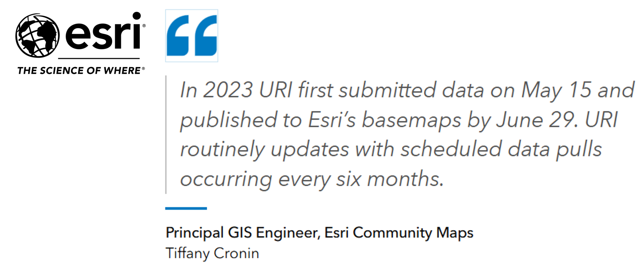
That cadence provides a repeatable framework for keeping shared geographic information aligned with locally maintained data. It also highlights the importance of data stewardship between submissions: the quality of a shared map depends on the quality and currency of the information organizations maintain at its source.
The Next Chapter: Expanding Into 3D
URI’s participation continues to evolve.
In 2026, the university submitted its first 3D building contribution to the Community Maps Program. The building data includes attributes such as height, number of levels, eave height, base elevation, roof shape, and roof direction.
At the time of writing, the contribution is awaiting publication. Its submission represents an important next step in how URI can share information about its campuses.
Three-dimensional representations can provide additional context and help users better understand the scale and character of the built environment. Depending on how the data is published and used, this information may also support future campus visualization and planning applications.
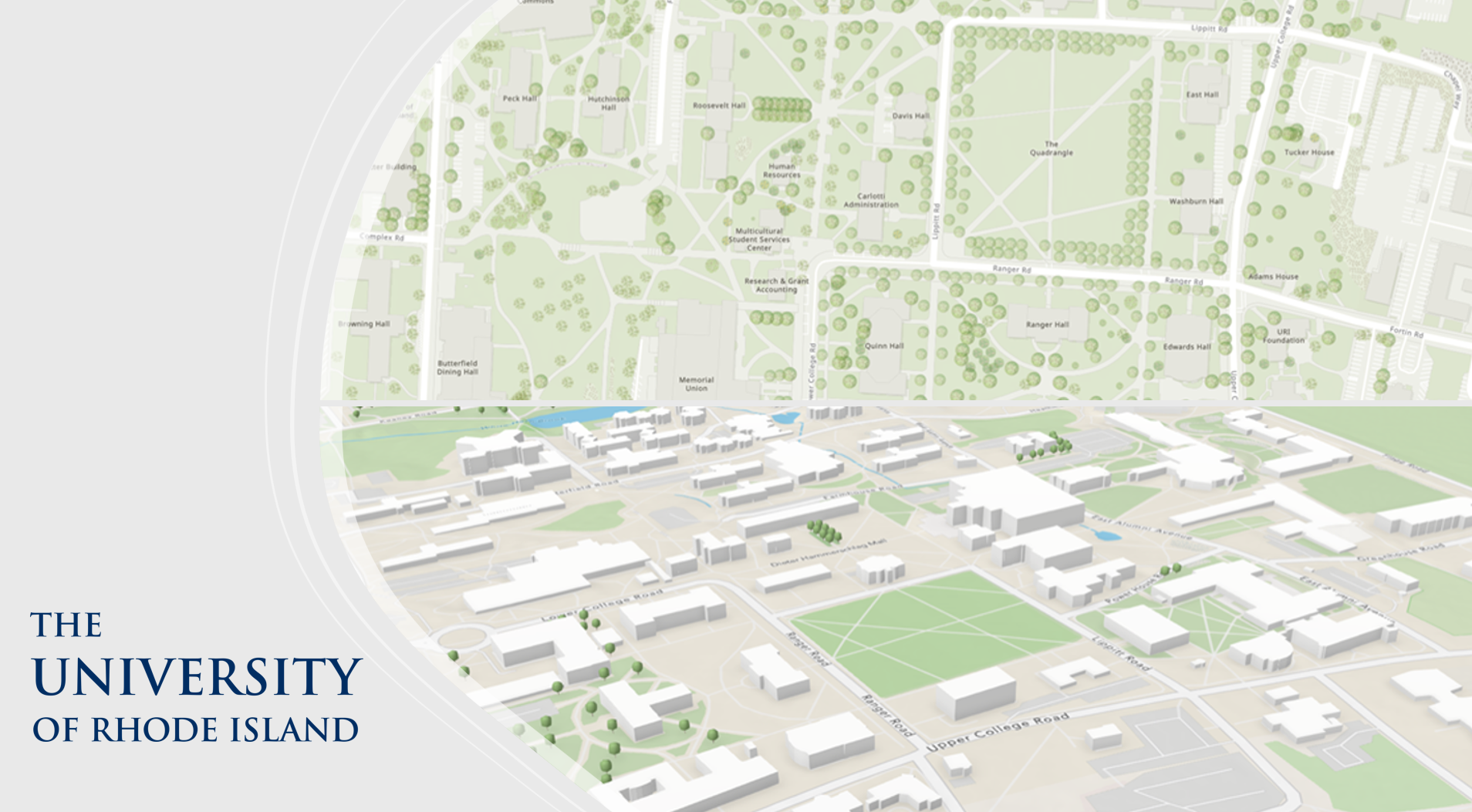
The move into 3D reflects the same principle that motivated the university’s original participation: providing accurate, useful information about the places it knows best.
As mapping technology advances, URI has an opportunity to share richer representations of its campuses while continuing to build on the geographic framework already supporting its GIS applications.
Together We Map Better
Better maps are created through collaboration.
Global basemaps become more accurate when local organizations contribute the knowledge they develop through managing their own communities, campuses, and facilities.
That is what makes Community Maps so powerful. It brings together the scale of a global mapping platform with the expertise of the people who know their communities best.
For URI, participating is an extension of its responsibility as a steward of university data. Geographic information should support not only internal operations, but also the students, visitors, researchers, educators, and community members who interact with its campuses every day.
As the University of Rhode Island continues to evolve, so will the geographic information that defines it.
Through continued participation in Community Maps, the evolution of tools like the URI Interactive Campus Map, and its expansion into 3D content, URI is continuing to share trusted geographic information that helps people understand, navigate, and connect with its campuses.
For URI, Community Maps represents more than a basemap. It is a partnership that turns local knowledge into global geographic context—while giving the university the foundation it needs to create meaningful GIS solutions for the people it serves.
Better maps are built through collaboration, and URI is proud to be part of that effort.
Resource Guide
Preparing for Your Vector Basemap Data Contribution
University of Rhode Island Interactive Map
Questions? Email us: CommunityMaps@esri.com


Article Discussion: