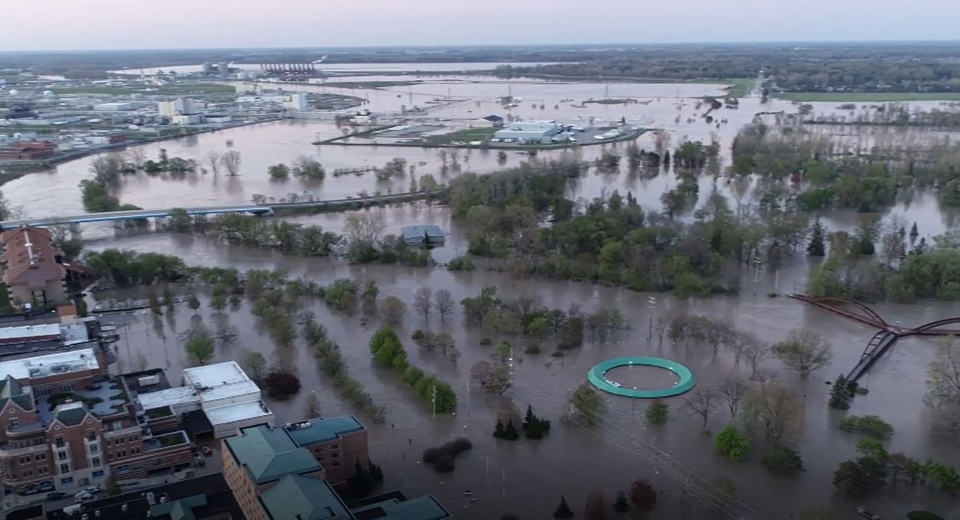
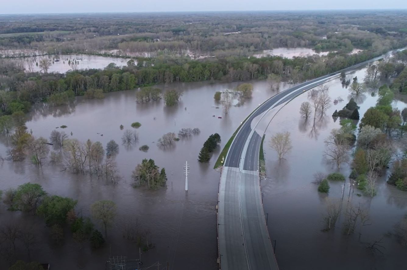
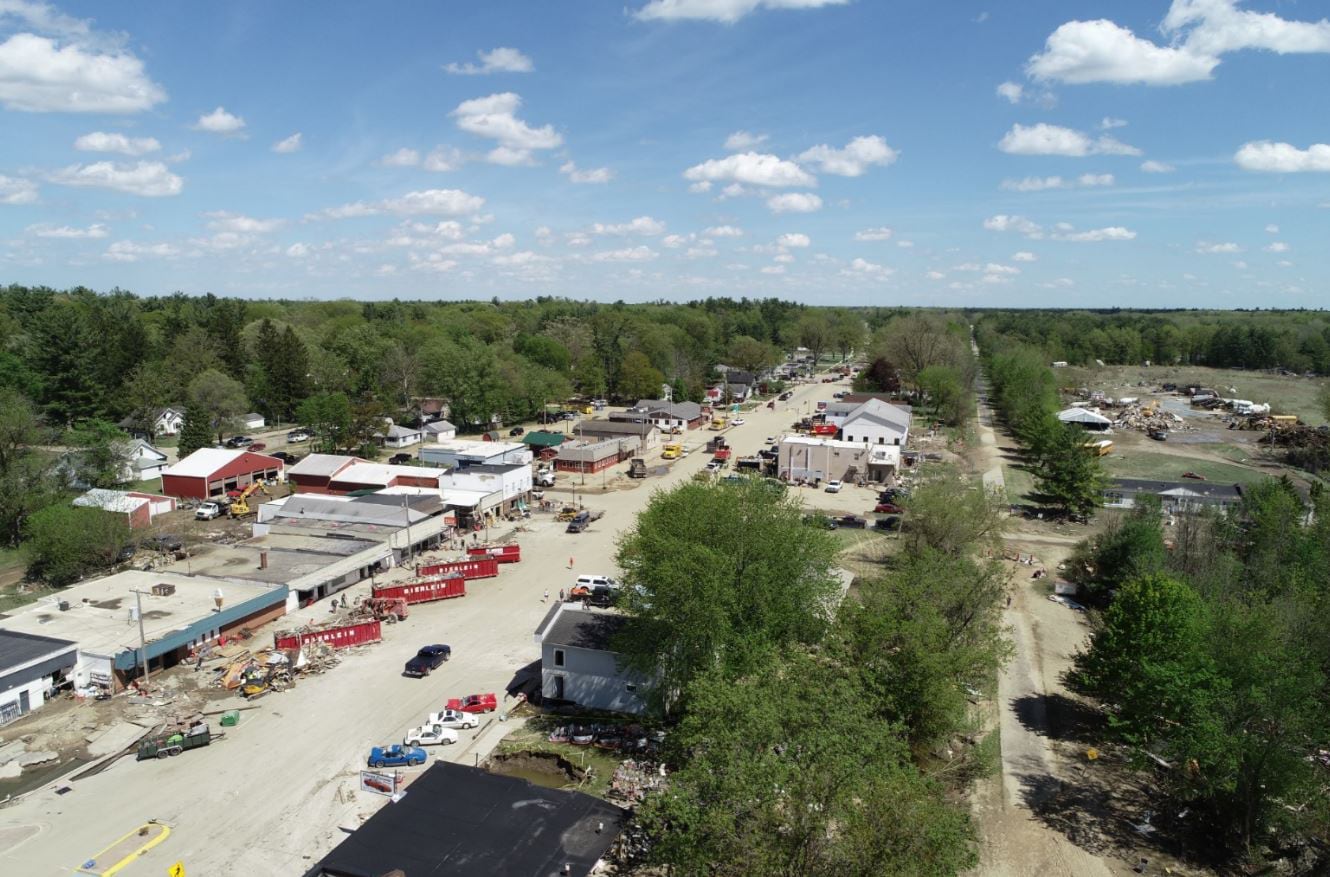
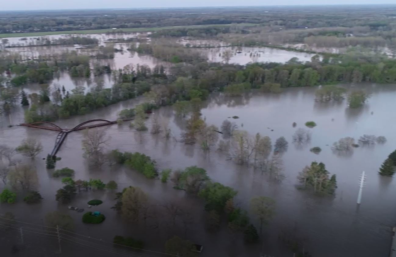
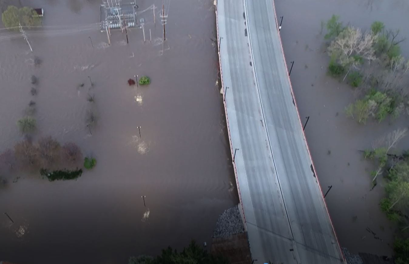
In May of 2020 Midland County, Michigan received significant rainfall that led to two dam failures resulting in the drainage of Sanford and Wixom Lakes – a major flood event.
In the months that followed, the Midland County GIS Department realized that these two lakes were now one river system. Moreover, they were faced with the reality that their basemaps were no longer accurate, making recovery and further mitigation efforts a daunting challenge for the county and its residents.
View the map gallery below to see the resulting damage.
-
...
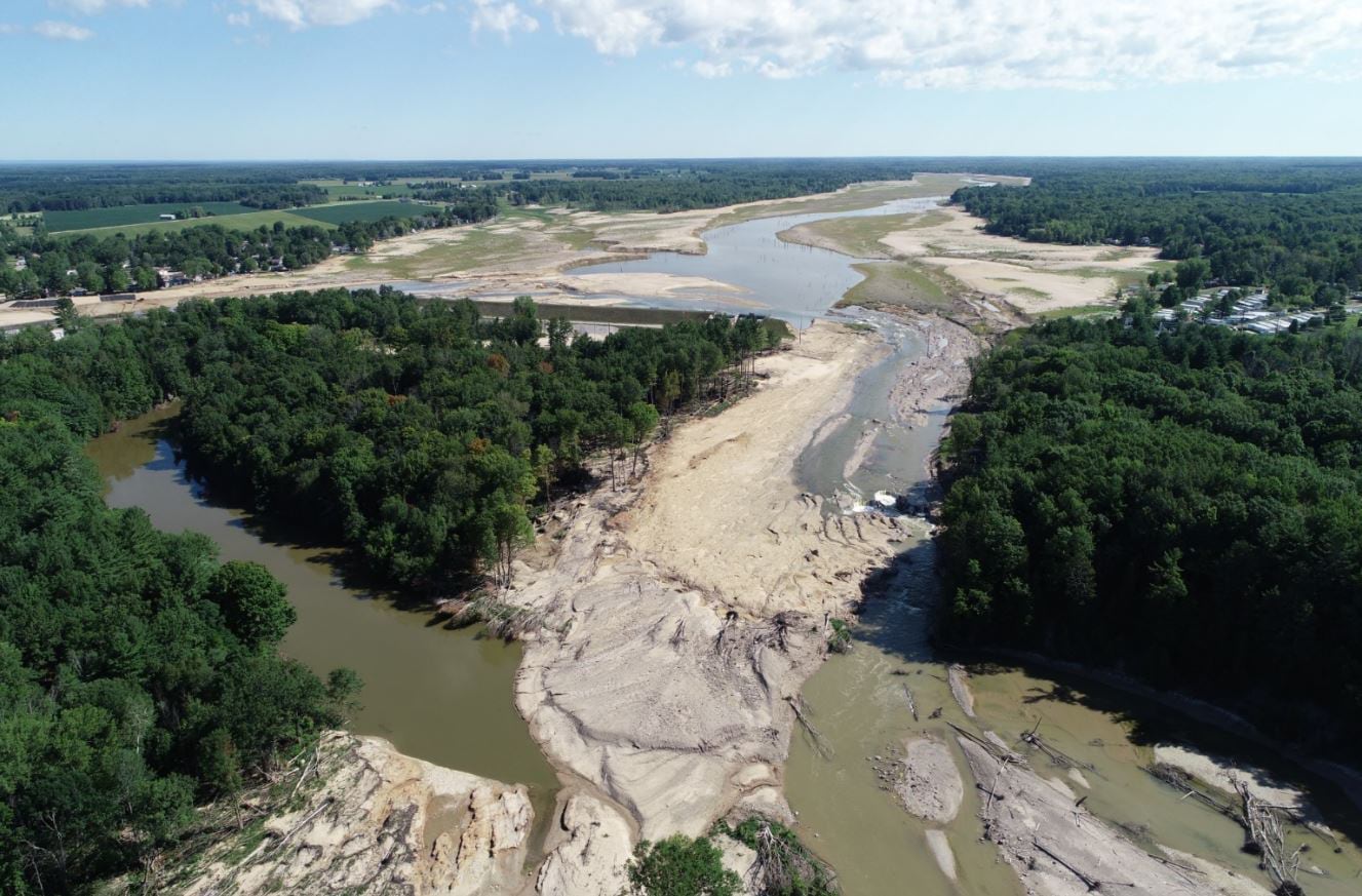
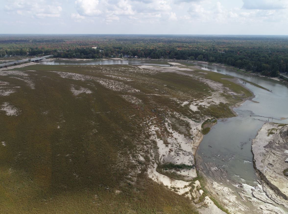
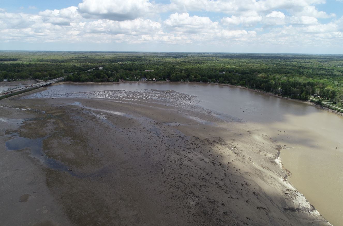
Using post-flood aerial imagery, the Midland County GIS Department adjusted its hydrology layer to match the post-flood conditions of the area more closely. Once completed, the question then turned to how the county would distribute the adjusted layer and work towards updating maps of the area.

Realizing that many local, state, and federal agencies, as well as private sector organizations, use Esri’s basemaps in their workflows and products, the GIS Department determined a good starting point would be to work with Esri to update their online basemaps.
Midland County, MI enrolled in the Community Maps Program, in an effort to share and upload the adjusted local hydrology layer to Esri. Because of the uniqueness of the situation, the county worked with the Community Maps team to determine how to best integrate the new layer into the basemaps. The county and Esri also worked together to agree on cartographic symbology that would best indicate that lakes existed at one time, but now the area is a river with lakebeds.
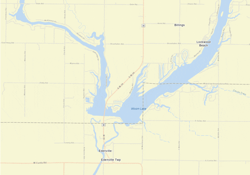
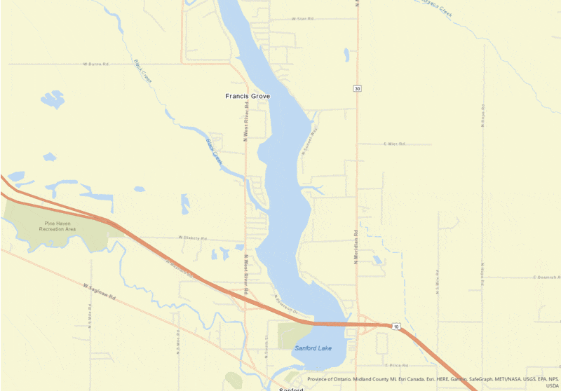
The images below show the basemaps before and after the hydrology layer update.
Sharing the latest data with Esri's Community Maps Program ensured Esri basemap users would see current conditions. It has also been beneficial having the flood data, aerial imagery, and drone data in ArcGIS Online, giving us the ability to share services with groups and agencies.
The application below allows users to compare different aerial views before, during and after the flood event.
Midland County Flood - Aerial Imagery Comparison: Before, During, and After
To learn more about Midland County, MI visit their website by clicking the image below.

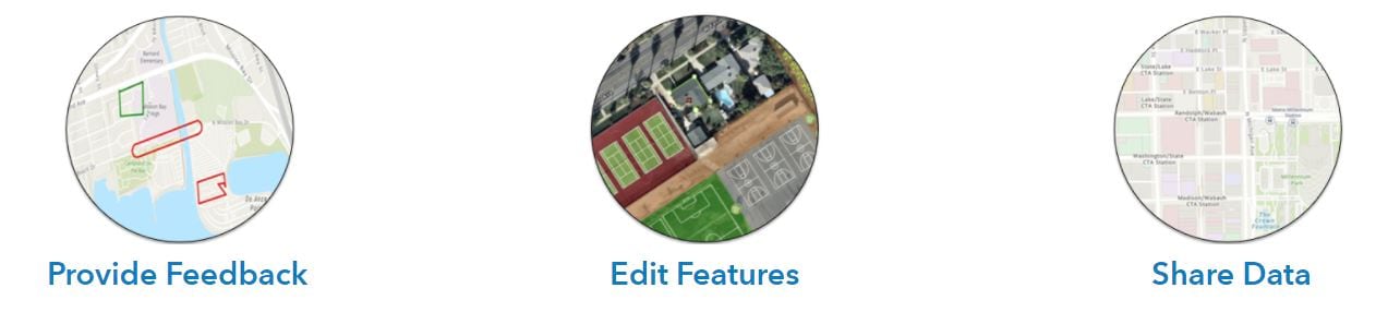
Providing feedback, editing features, and sharing data are all great ways to share your local geographic knowledge. Click on the link below to explore the best sharing workflow for you and your organization.
Join the Community Maps Program


Article Discussion: