
With the March 2022 update, Map Viewer continues to advance web cartography with new innovations in data visualization such as the Flow Smart Mapping Style. In addition, you’ll find both new and familiar features requested from across the globe, from streamlined and more powerful editing to nested group layers and the ability to switch between basemap projections within your gallery.
Quick Links
- Flow Smart Mapping Style
- Basemap Projection Switching
- Editing Enhancements
- Keyboard Shortcuts
- Charts Enhancements
- Duplicate Feature Layers
- Imagery Filtering Enhancements
- Nested Group Layers
- Map Tools Organization
- Smart Mapping Updates

Flow Smart Mapping Style
The Flow Smart Mapping Style is a powerful new way to visualize raster data that has magnitude and direction values. Authors can map their data with either streamlines or wavefronts to create a one-click map animation ideal for ocean currents, wind speed, and other field observations. Authors can control the speed, density, thickness and decay rate of the lines to bring geographic patterns into focus. Use layer effects and blending to enhance your data with a stunning visual profile.

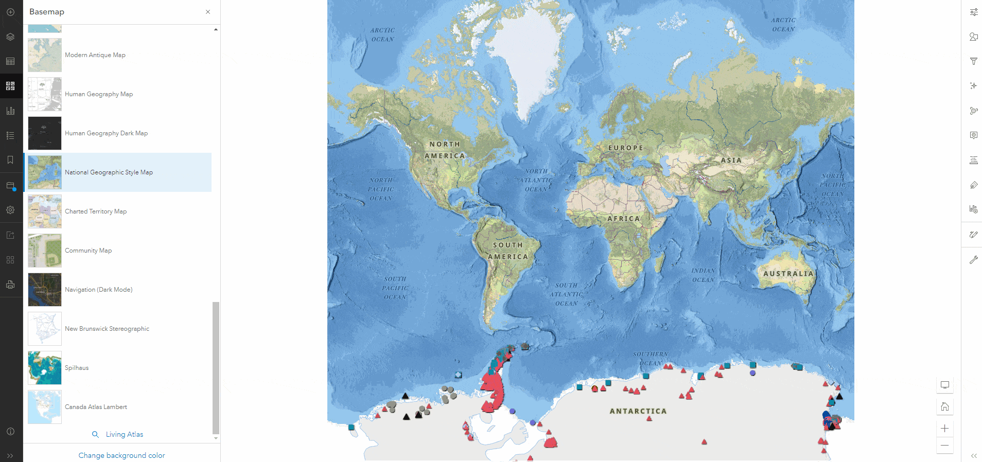
Basemap Projection Switching
With the March ArcGIS Online update, Map Viewer supports switching between basemaps with different spatial references from within the basemap gallery. Previously, only basemaps matching the current map’s spatial reference were accessible in your basemap gallery. Those which did not match the current map were inaccessible.
Now you can access all basemaps in your organization’s basemap groups and easily switch between them.
Learn more about the new and improved basemap projection switching at this link
Editing Enhancements
Map Viewer has joined Experience Builder in adopting the modern ArcGIS API for JavaScript editor and its capabilities, including Geometry guides and Feature to feature snapping options supporting precise feature placement and orientation.
Map Viewer is also promoting tighter integration with form editing, which you may recognize from Field Maps and ArcGIS Pro. With this alignment come contingent values and greater support for Arcade integration in the form of calculated expressions.
Check out these links to learn more about Geometry guides, snapping and calculated expressions

Keyboard Shortcuts
With the March 2022 update, Map Viewer brings a long-time efficiency favorite to your mapping experience with a new set of keyboard shortcuts. You’ll find the current list by following the tip below.
Please let us know what you think by posting your feedback in the ArcGIS Online section of Esri Community or the comments section below. Is there a shortcut we missed? A key combo which doesn’t feel right? Is it perfect? We’d love to know your thoughts!

Charts Enhancements
Bring your data to life by adding ranges and guide lines to your Charts. In the screenshot below, you can see at a glance where the Max Level and Critical Range have been set. This shows your stakeholders valuable context without requiring they perform calculations to discover general trends in the data’s distribution and deviation.

Duplicate Feature Layer
Similar to the Copy layers feature in Map Viewer Classic, duplicating a feature layer enables you to create multiple visualizations of the same data where each layer can have its own configuration while still referencing the same source data. Though only applicable to feature layers today, stay tuned for additional layer types in upcoming ArcGIS Online updates.

Imagery Filtering Enhancements
With the March 2022 update, imagery users will find the new option to “Select images from view” to select a set of images in a table based on their visibility on the map. This display can also be locked by using the “Show only selected” button in the attribute table.

Nested Group Layers
Map Viewer introduced Group Layers in July 2020, and users quickly recognized value in adding them to another group… and maybe another. Where categorization and taxonomy are important to define for your stakeholders, group layers within other group layers by using either the layer actions or a simple drag-and-drop.

Map Tools Organization
You may notice a little bit more breathing room in your Settings (light) toolbar. Click the new wrench icon to reveal a collection of Map tools now grouped together, streamlining the mapping interface.

Smart Mapping Updates
Smart Mapping, our core thematic mapping technology, continues its seven-year journey with a fresh new face and simpler workflow designed by your feedback. You’ll find the process of making thematic maps more clearly differentiates between what’s required and what’s optional so you can choose between rapid deployment and experimentation.
This new Smart Mapping design flags important decision points in the workflow for newer map makers without adding friction or extra clicks for experienced users.
Smart Mapping also offers lightweight unobtrusive contextual “nudges” to encourage constructive experimentation—try a bivariate or multivariate map on for size—revert with a click or show off new data insights highlighted by a novel perspective.

Hi Marianne, we have ArcGIS Enterprise, and I really like the new Map Viewer. I would like to extend our Map Viewer by adding some custom widgets while keep all the existing features. Is there a way for us to customise our Map Viewer? I understood it is possible to use ExperienceBuilder to build it from scratch. But that means we will miss all the goodies already built in Map Viewer, and we will spend a lot effort to reinvent the wheel. Also there’re a few features that EB are still behind Map Viewer. So is there a Map Viewer SDK or what would be the way for us to customise the Map Viewer? thanks.
Hi Jack, thanks for the feedback; I’m glad to know you appreciate Map Viewer and its new capabilities! As for customization: we do not support extending Map Viewer functionality with custom widgets. However, I would be interested in learning more about what custom functionality you’re hoping to add and what problems that functionality will solve which can’t be done with the current ArcGIS Online product as a whole. You’re welcome to send me an email to connect directly, or you can add more comments to this thread; either works from my end. mfarretta@esri.com
Thanks again!
Will we ever be able to group tables?
And for sure I would love not to have tables in a different section. Most companies I have seen have more tables than feature classes. I want to be able to group layers and tables together by subject matter (even cooler would be to be able to group any content together – csv, pdf help manuals, etc would be sweet).
Also really need related support.
thanks
Hi Doug, thanks for the feedback–I find the pdf/csv/manuals idea intriguing and would love to see it expanded upon in ArcGIS Ideas; I don’t think I’ve heard/read it before. Grouping tables is also a good bit of feedback and we are tracking that possibility, but not sure it has received as much promotion from the mapping community as some of the other enhancements we’ve been prioritizing. I do hope to see some new capabilities with tables soon, so we do have that to look forward to. Thanks Doug!
This release was premature in my opinion (and many others I expect). Why was the support of a very important and VERY common occurrence for support of Relationships removed from the previous version of Web Map Builder? I cannot use the new map editor for about 75% of the the City’s GIS projects because of dropping functionality!
Hi Brett,
Nothing has been removed; Map Viewer Classic works as it always has, and the next ArcGIS Online update is expected to bring support for viewing related records in popups, with additional related record support coming in future updates.
The expectation is Map Viewer Classic should still allow you to do all the workflows you are accustomed to doing, and Map Viewer will continue to grow and when it meets your requirements, you’ll be able to use it to the degree that you’d like.
There are so many features and functionalities which many end users were so excited to use, from Layer Effects to faster performance and incredible symbology enhancements, that we decided to make those available to everyone rather than making everyone wait for all features and all functionality in Map Viewer.
You’ll notice Analysis Tools are also not yet in Map Viewer, but we’re expecting to see those soon as well. In the meantime, some users are 100% migrated to Map Viewer, and others like your team are using Map Viewer Classic until their required functionality is available in Map Viewer.
If there are other features you’re waiting on before adopting Map Viewer, I’ll be interested to know what they are–all the community feedback is really helpful in making sure we understand how everyone is using Map Viewer and that we’re on the right track.
In particular, let me know if you use the “Open in Map Viewer Classic with Full Editing Control” button — I’m conducting interviews now, to help us find the best way to bring that capability into Map Viewer in an upcoming update.
Thanks again!
Marianne