-
-
November 9, 2022
| Paul Barker
|
Mapping
-
-
-
-
October 31, 2022
| Andy Skinner
|
Mapping
-
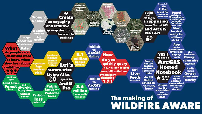
October 26, 2022
| Multiple Authors
|
Public Safety
-
-
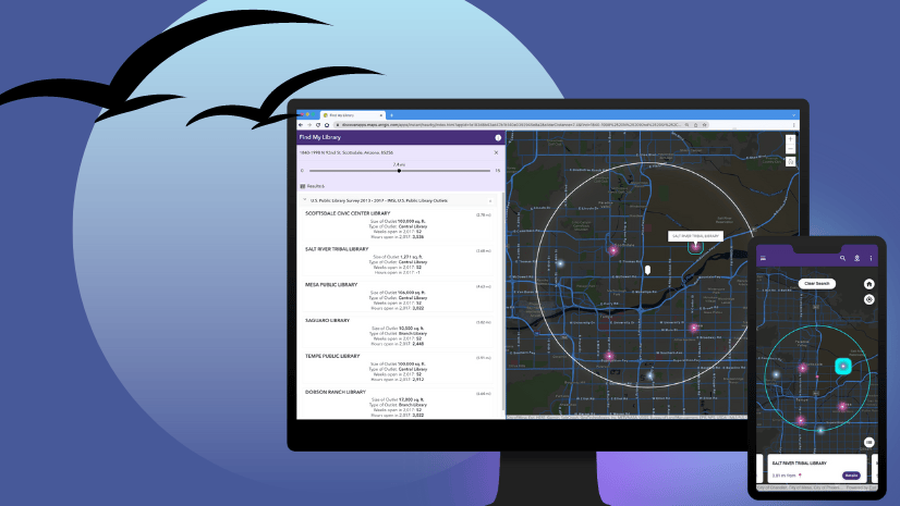
October 20, 2022
| Lisa Berry
|
Mapping
-
October 18, 2022
| Elif Bulut
|
Government
-
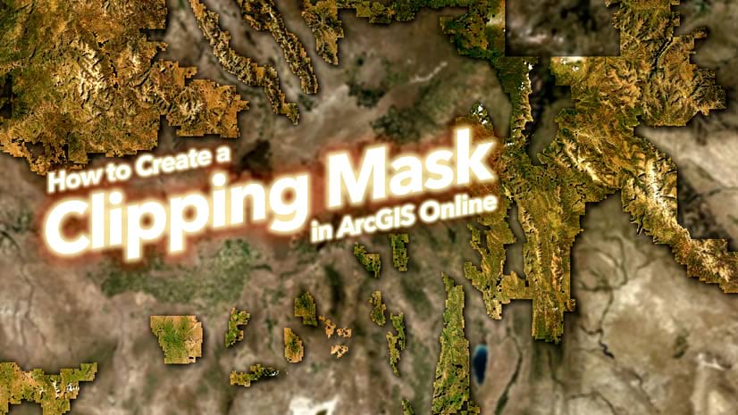
October 17, 2022
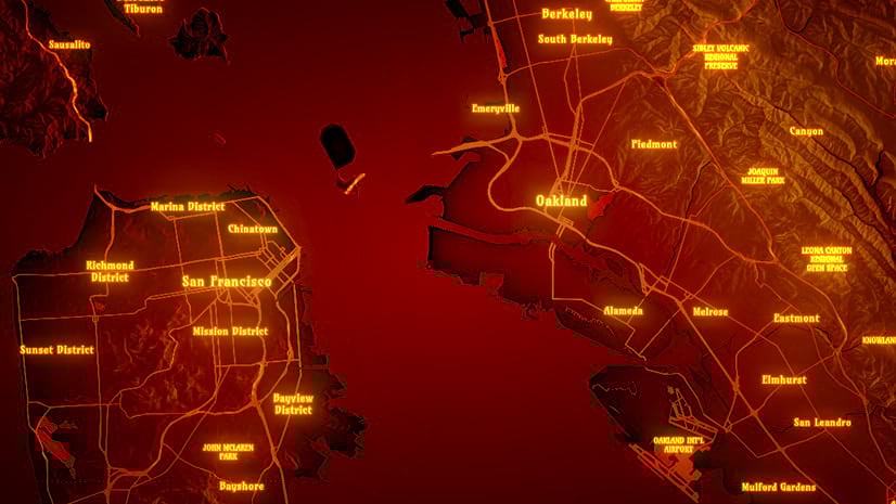
| John Nelson
|
Mapping
-
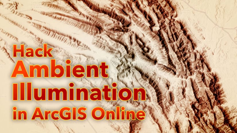
October 14, 2022
| John Nelson
|
Mapping
-
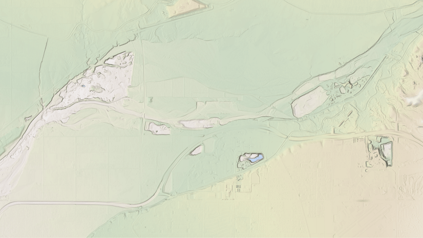
October 10, 2022
| Ken Baloun
|
Mapping
-
-
-
October 5, 2022
| John Nelson
|
Mapping
-
September 27, 2022
| Shane Matthews
|
Mapping
-
September 23, 2022
| Multiple Authors
|
Telecommunications
-
September 16, 2022
| Andy Skinner
|
Mapping
-
-
-
September 13, 2022
| Sarah Osborne
|
Announcements
-
-
September 6, 2022
| Wes Jones
|
Mapping
opens in new window