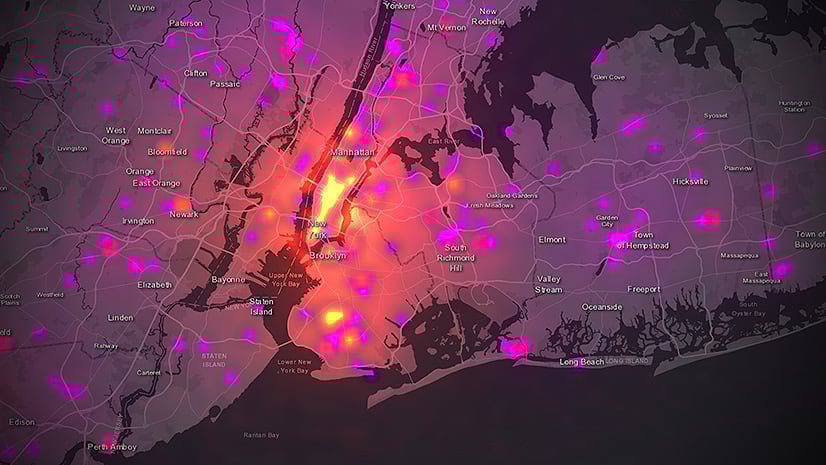
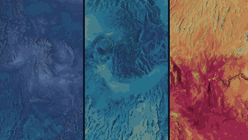
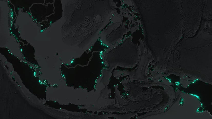
June 22, 2022 | Mark Harrower | Mapping Next-Generation Heat Maps in Map Viewer: Better, faster, smoother, stronger
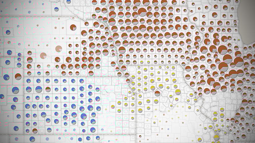
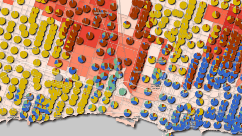
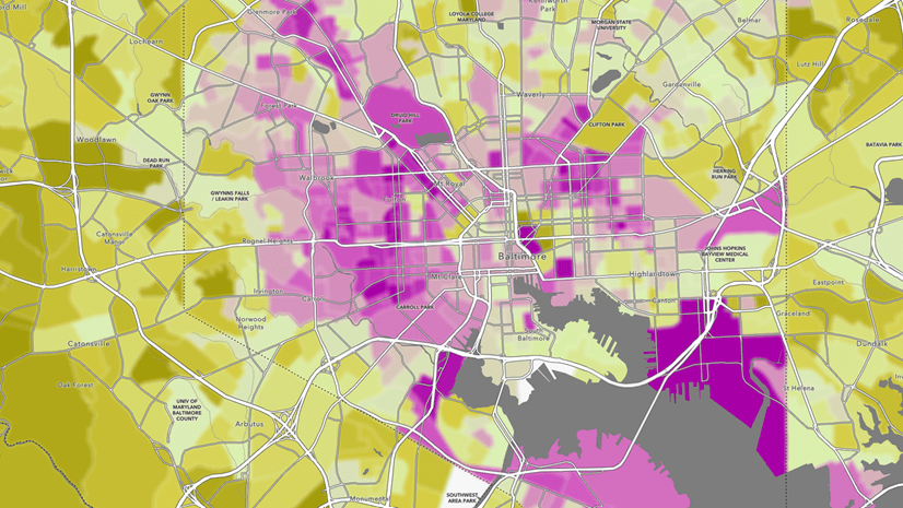
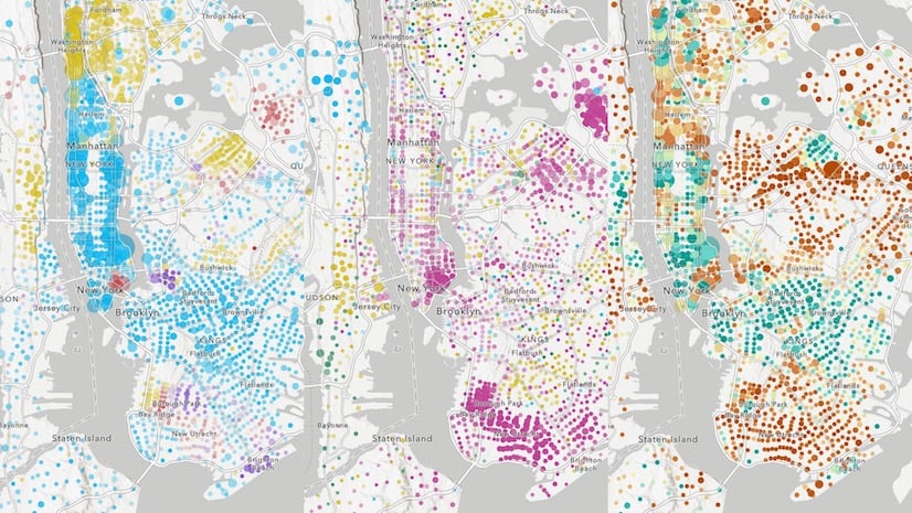
June 22, 2022 | Mark Harrower | Mapping New Charts and Charts & Size map styles help us make sense of all the numbers
June 14, 2022 | Multiple Authors | Imagery & Remote Sensing ArcGIS Image for ArcGIS Online – Bringing Imagery and GIS analysis together
June 7, 2022 | Diana Lavery | Data Management Yet another reason to acknowledge your sources: it shows up in maps
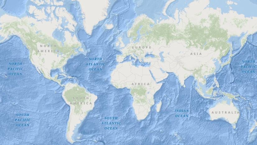
June 7, 2022 | Savannah Roth | Announcements Notification that a legacy Ocean Basemap will be retired December 1, 2022
May 19, 2022 | Karl Frantz | Announcements Accessibility Sessions and Presentations at Esri User Conference 2022
May 6, 2022 | Beau Legeer | Imagery & Remote Sensing 2022 Imagery and Remote Sensing Trends in the GeoINT community
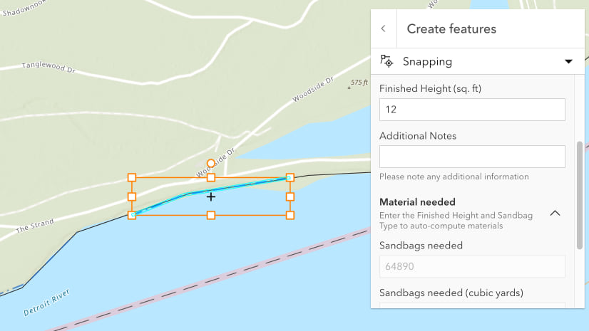
May 5, 2022 | Multiple Authors | Data Management Getting the most out of editing in Map Viewer and ArcGIS API for JavaScript
April 26, 2022 | David Reeves | Architecture, Engineering, and Construction How to setup an ArcGIS AEC Project Delivery Subscription