The latest and greatest release of ArcGIS Pro has just been made available. While we’ve spent a large amount of our time focused on providing the community with the performance and stability improvements required to perform your work, this release includes exciting new functionality and expanded capabilities to improve the user experience working with the ArcGIS Utility Network across your enterprise.
We also know that many of our utility customers follow the network management release plan, which means many of you are upgrading directly from ArcGIS Pro 2.9. Because of this unique scenario we’ve decided to include highlight features from both the ArcGIS Pro 3.0 and ArcGIS Pro 3.1 releases in this blog. With the near-term release of ArcGIS Enterprise 11.1 on the horizon, we have also elected not to include any features that require install of ArcGIS Enterprise 11.1 at this time. Expect a follow up to this post with a similar blog outlining the exciting utility network related features made possible with ArcGIS Enterprise 11.1 in the near future.
For a full list of changes, review the What’s new topics for each ArcGIS Pro release below:
Use the Attributes pane to select associated data
One of the most frequent requests from users related to how they can select all the features connected to, contained in, or attached to another feature. While there have been several code examples and alternate approaches provided to support this workflow in the past, we recognized the need for this functionality in the core product. A context menu option is now available from within the Attributes pane to select and work with associated data. To learn more, see Associations.

For those unable to upgrade to ArcGIS Pro 3.1, an Add-In has been authored to enable you to take advantage of this capability with the first network management release using ArcGIS Pro 2.9.4 and later.
Invalid subnetwork status
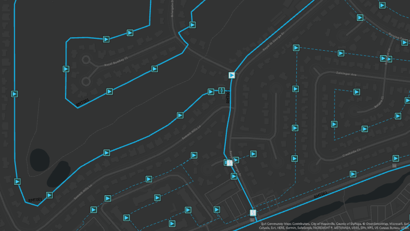
Another consistent piece of feedback we’ve received from customers are requests for the ability to differentiate between subnetworks that are dirty and need to be updated as opposed to a subnetwork that failed to update and remains dirty.
To address this, in ArcGIS Pro 3.1 we have implemented a new ‘Invalid’ subnetwork status. Now, if an update subnetwork operation fails due to the discovery of a subnetwork error or dirty area, we will mark the subnetwork as Invalid. You will be able to immediately see which subnetworks are invalid in the Find Subnetworks pane through the display of a new red icon next to them in the grid.

The Update Subnetwork tool will also exclude invalid subnetworks from the list when you choose to update all subnetworks in a tier and prevents the subnetwork from populating the drop-down list when selecting subnetworks for update in the tool. Because invalid subnetworks are now be ignored by the update subnetwork operation, the subnetwork must first be made dirty through editing and validation (hopefully correcting all the errors!) before the subnetwork can be updated again and marked as clean.
If you want to know where we store this information, you can find it in the Is Dirty field in both the Subnetworks table and Find Subnetworks pane. This field is now aliased to Status to indicate it is no longer a binary value.

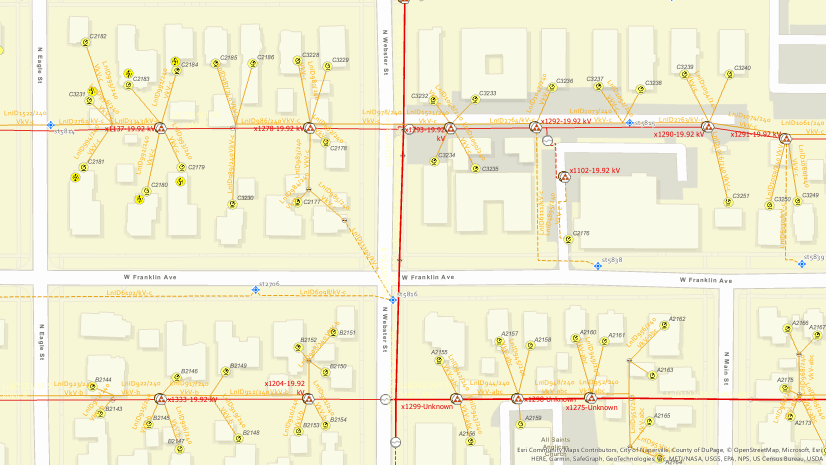
Find Subnetworks pane
We have made several improvements to the Find Subnetworks pane. First, we’ve implemented one of the most commonly requested items from working within the pane: the contents of the pane are now sorted using the Subnetwork Name column which make it much easier to locate the subnetwork is question through scrolling, without the need to filter.
We have also made changes to the way that the Find Subnetworks pane runs trace and update subnetwork operations. These operations now run directly against the utility network dataset instead of going through the geoprocessing framework. The benefit of this approach is that it allows the operations to run much quicker. The downside to this change is that subnetwork trace and update operations that are run from the pane will no longer create geoprocessing history.

Utility Network Version 6 with ArcGIS Pro 3.0
A new utility network dataset version was released with the ArcGIS Pro 3.0 release. This was done primarily to provide improvements for working with Network Diagrams. Utility Network version 6 set the ASSOCIATIONTYPE field on the Associations table as a subtype field to improve performance when displaying diagrams and editing associations. System provided network attributes were also exposed for use in various geoprocessing tools.
Please note that there is no requirement to upgrade your utility network to take advantage of the enhancements outlined above unless you wish to take advantage of system provided network attributes exposed in the Trace, Add Trace Configuration, and Set Subnetwork Definition geoprocessing tools. Later versions of ArcGIS Pro and ArcGIS Enterprise can be used to view, edit, and share earlier versions of the utility network.
Network Management Release 2023
Certain ArcGIS Enterprise and ArcGIS Pro releases are designated as network management releases for customers who have implemented or are planning to implement network management products, including the ArcGIS Utility Network, in an enterprise environment. Our goal is to provide a stable platform on a long-term support release that will allow users to land on the versions that are best suited for utility network solutions with confidence and provide a predictable schedule for upgrade planning.
The ArcGIS Pro 3.1 and ArcGIS Enterprise 11.1 versions have been announced as the second designated network management release and will be referred to as Network Management Release 2023.
To learn more, see What’s New with the Network Management Release Plan
NOTE: This article was updated on November 20, 2023 to improve language related to utility network upgrades and network diagrams.


Commenting is not enabled for this article.