Integrating Design and GIS for Comprehensive Project Context
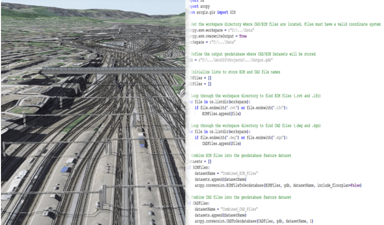
ArcGIS Pro continues to strengthen CAD and BIM integrations, helping GIS teams bring design and engineering data together as spatial information. You can directly access Autodesk® Civil 3D®, AutoCAD® (.dwg), Revit® (.rvt), Industry Foundation Classes (.ifc), and other design file formats to build detailed maps and 3D scenes that represent real-world infrastructure.
These integrations let you combine CAD and BIM content with other project data to support spatial analysis, visualization, and collaboration. Whether you’re reading files stored locally or connecting through the BIM Cloud Connection, ArcGIS Pro makes it easier to keep design information current and visible across your organization.
Release highlights
The November 2025 release of ArcGIS Pro 3.6 adds new capabilities that simplify georeferencing and expand direct-read support for Civil 3D and Revit content. These updates reduce manual steps and provide more complete representations of design data in your maps and scenes.
Explore the full list of updates in the ArcGIS Pro release notes.
Position CAD drawings using model to world transformations
ArcGIS Pro 3.6 introduces the Model to World Transformation feature to improve how you position CAD drawings. You can enter precise eastings, northings, rotation, and scale values provided by your survey team and apply them directly from the CAD Data contextual ribbon.
When you complete the transformation, ArcGIS Pro automatically creates a WLD3 file to store the alignment parameters. This ensures that your CAD content remains accurately positioned without additional adjustment.
This enhancement reduces manual effort in your CAD integration workflows and helps maintain consistent spatial accuracy across projects.
Use Civil 3D User Defined Properties as attribution
ArcGIS Pro 3.6 expands direct-read support for Autodesk Civil 3D by including User Defined Properties when adding feature classes to your projects. These properties are now read automatically, allowing you to use attribute information defined in Civil 3D drawings without manual data entry.
This enhancement adds efficiency to map and scene authoring by carrying more complete design information directly into GIS. You can use these attributes to build richer maps and scenes without having to redundantly create the underlying attribution
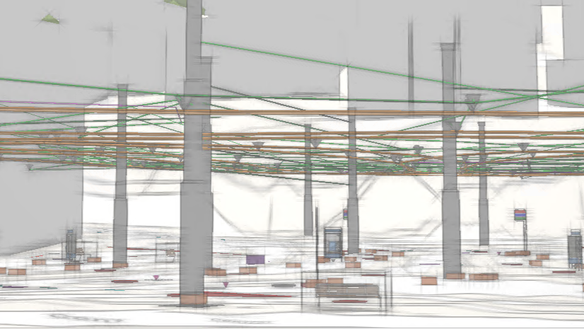
Expanded Revit direct-read support for MEP components
ArcGIS Pro 3.6 adds new direct-read capabilities for Revit files, including support for versions 2021 through 2026. The update also includes expanded feature classes for Mechanical, Electrical, and Plumbing (MEP) categories.
You can now include detailed geometry and attribution for plumbing equipment and fixtures, such as tankless water heaters, directly in your 3D scenes. This expanded support makes it easier to represent interior systems throughout buildings in context with surrounding infrastructure.
Get Started
Combine CAD and BIM data with other spatial information to improve analysis and collaboration across your projects. Try the new integration features in ArcGIS Pro 3.6 to see how they simplify everyday design workflows.
Engage with the ArcGIS Pro team and other users in the Esri Community to ask questions, share feedback, or suggest future enhancements.
Download ArcGIS Pro 3.6 to start exploring the latest updates.

Article Discussion: