The 3D Industrial style has undergone a complete update as part of the ArcGIS Pro 3.8 release.
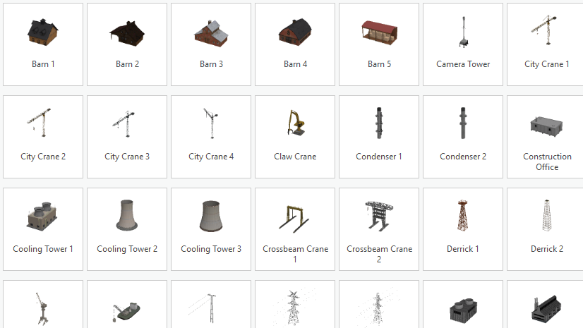
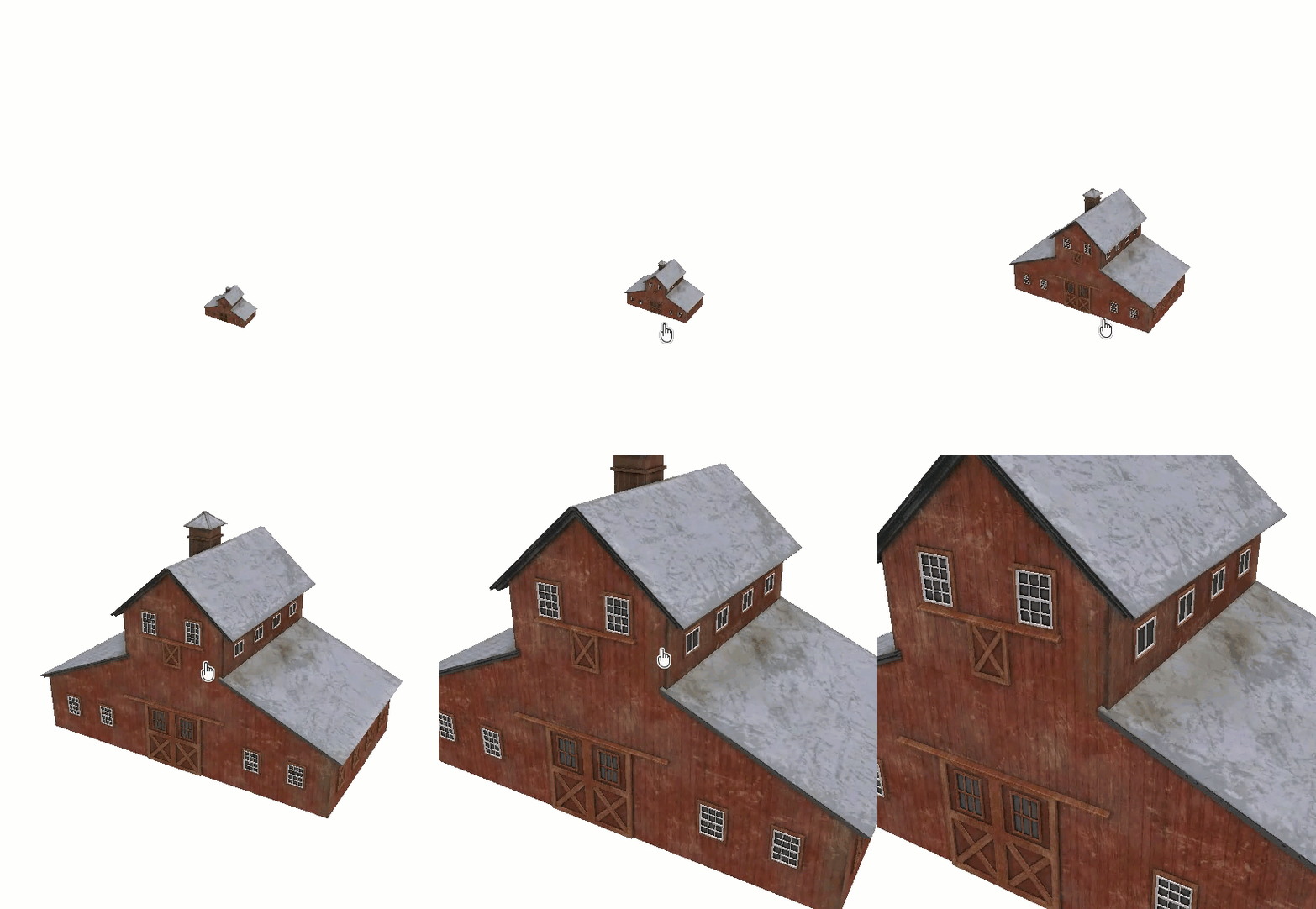
The symbols in this updated style are built from new 3D models that support multiple levels of detail. You’ll see tremendous detail when viewing these symbols up close in a scene, and a more generalized version that draws quickly when they are in the distance.
The original version of this style had a licensing restriction. Therefore, you couldn’t share its symbols to a web map or as a web style. With newly rebuilt models underlying the symbols, this restriction is lifted. You can now share web maps made from this style in ArcGIS Pro, or you can use the companion web style directly in your web maps.
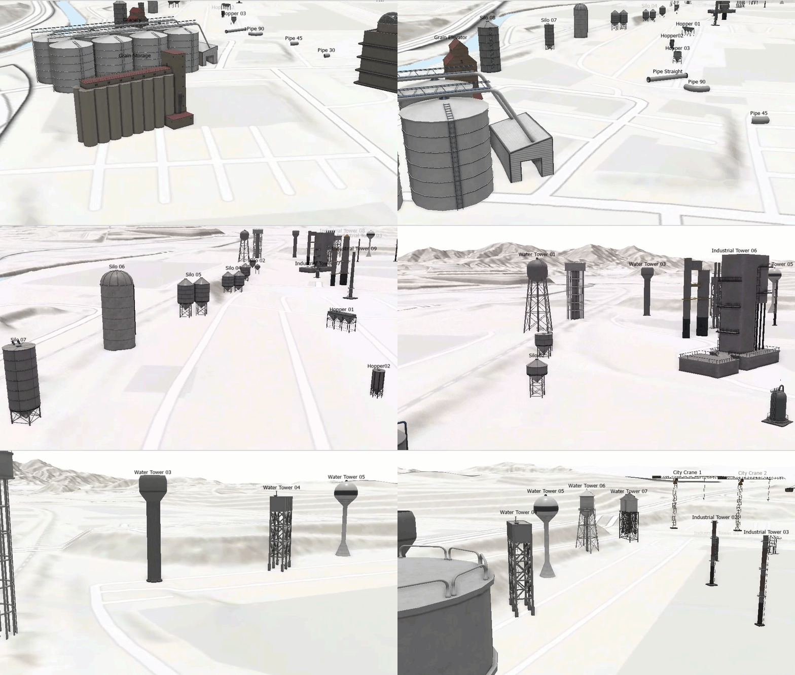
ArcGIS Pro System Style
To add this system style to an ArcGIS Pro project, follow these steps:
- With ArcGIS Pro open, open the Catalog pane.
- Right-click the Styles folder and click Add > Add System Style
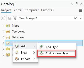
- On the System Styles dialog box, expand 3D and check 3D Industrial.
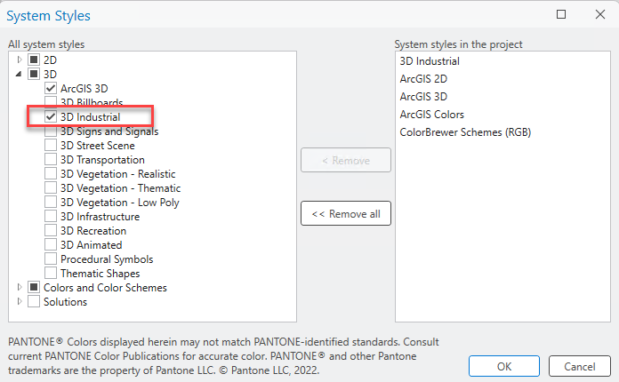
- Click OK to close the dialog box.
- Expand the Styles folder in the Catalog pane to see the 3D Industrial system style listed in the project.
Let us know what you think
We are excited to announce these industrial symbols with multiple levels of detail and we hope you are equally as excited to use them!
We would love to hear feedback after you use this system style in ArcGIS Pro or the web style in ArcGIS Online. Let us know in the comments of this blog or in Esri’s Ideas website at https://community.esri.com/en/arcgis-ideas
Happy mapping!





Article Discussion: