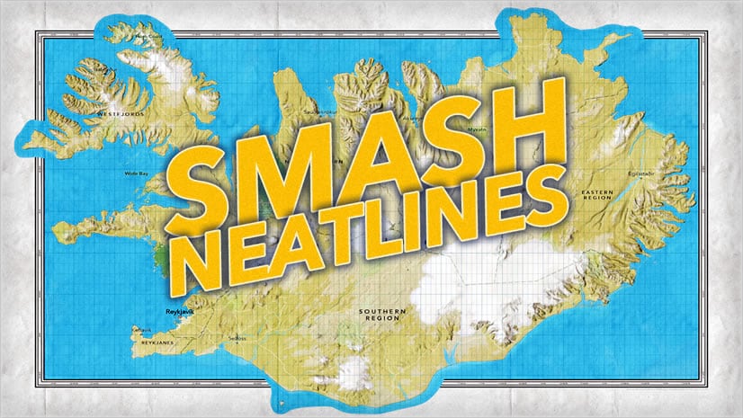
Here’s how to make an ArcGIS Pro layout where certain elements of the map step over the neatline and the graticule is relegated only to the oceans. Because that looks cool!

Mapping has a long and handsome history of neatlines that are interrupted by bits of land spilling over it, or graticules that only render in some areas, like water. Taking steps to customize your map layout like this makes the composition feel more alive and dynamic, and carries with it the energy of something thoughtfully crafted. Plus it’s simple and fun!
Here’s how you can harness hundreds of years of cartographic vibes and show that neatline who’s boss…
0:00 Incredible map layout sandwich illustration
0:14 Apply an ocean mask to a basemap
0.36 Duplicate the map and remove its mask
1:07 New layout, with the unmasked and masked map frames piled in
1:40 Synch the geography of both maps
2:05 Add a rectangle neatline and arrange it between the map frames
2:44 Add a graticule to the bottom map
3:07 Other examples of neatline shenanigans
3:26 You are loved
…
Happy Layouting! John

Article Discussion: