In my mental model of a walkability map it’s not enough to know how far away something is, but also how long it takes me to get there. My perceptions of the same distances, but with different walk times, are much different. There are realities that slow me down like intersections, buildings, water features, or just the gridded nature of a neighborhood, making the temporal terrain of a place highly varies.
But what if we could smooth out that temporal variability? Is there a way to visualize this cartographically? Can we take all those elements of friction, render them as time-aware walkability areas, and then warp them into spatially normalized sequential time bands? Well let’s try it!
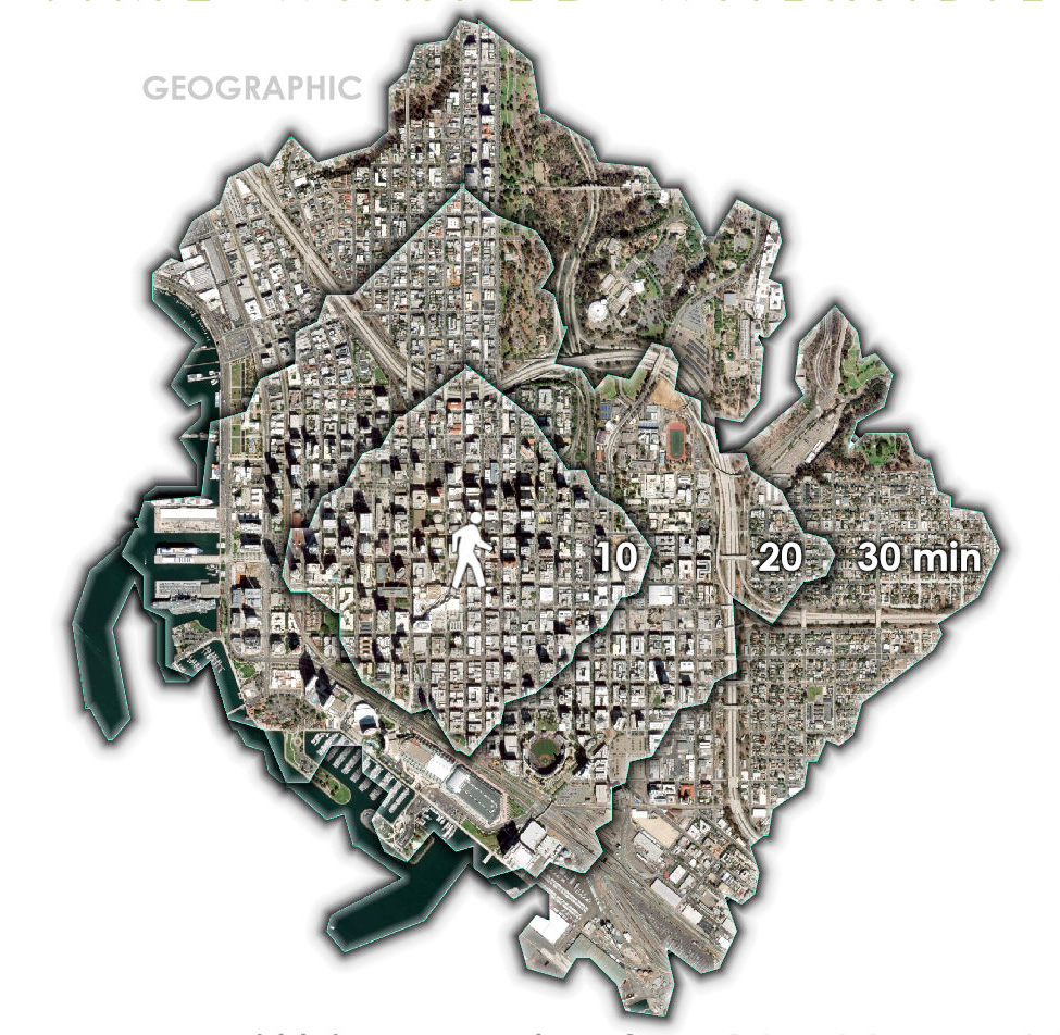
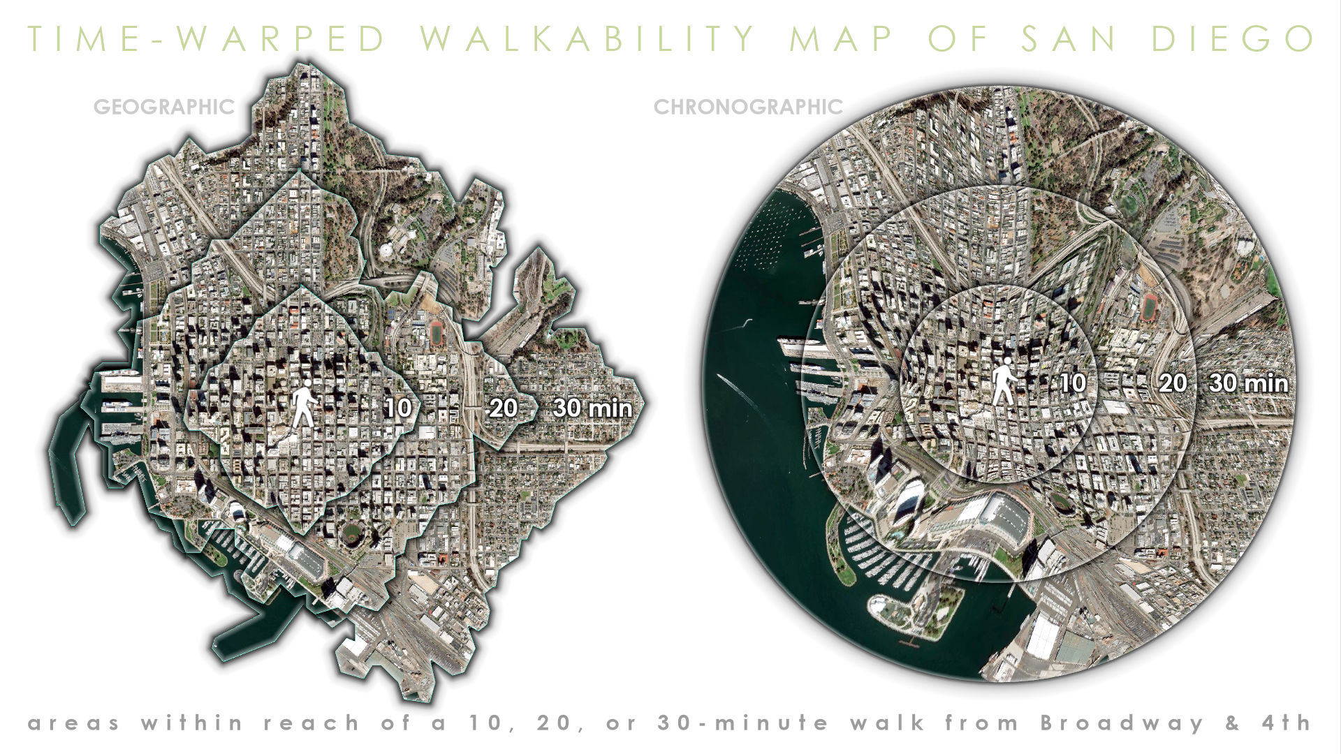
Here’s a walk-time map of downtown San Diego, with Horton Plaza (corner of Broadway and 4th) as the starting point. Each amorphous ring is the extent that I could reasonably walk to (in any direction) in 10, 20, or 30 minutes. It’s the result of Business Analyst‘s “Generate Drive Time Trade Areas” tool, set to walk time.

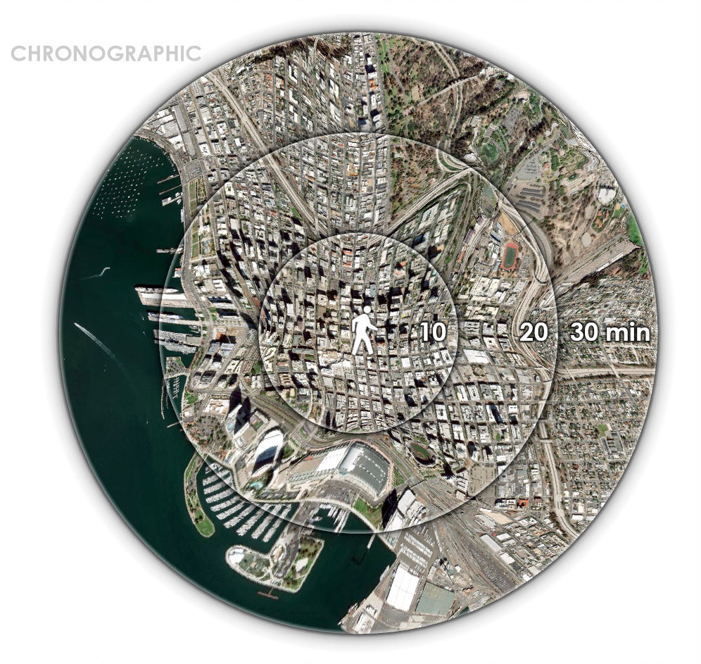
Of course the boundaries are wobbly because I’m not skating on a smooth sheet of ice, I’m walking in a complex environment with obstacles that impact my speed. But what if I warped this wobbly underlying geography into something less geographic and more chronographic? We’ve made time fit geography, let’s make geography fit time…

Ahhh interesting! Now instead of highly varied isochrons we’ve snapped them into shape like a crisp new sheet. This sort of thing might be closer to how we imagine the world we walk through. But how did I make it? Why, it’s just an honest use of one tool, the devious use of another, and then downright file management chicanery.
If you’re the sort who appreciates, a cheat-sheet, we have you covered:
-
Create wobbly walk-time rings
-
Export as georeferenced images, with and without rings
-
Create smooth buffer rings
-
Warp wobbly rings to smooth rings
-
Switch underlying image file names to trick Pro
-
Profit
If you’re intrigued enough to carry on, here’s the tutorial…
…
Thanks for hanging in there and aiming geoprocessing tools toward unexpected adventures. I hope you give this a go, and share the time-warped results!
Love, John


Article Discussion: