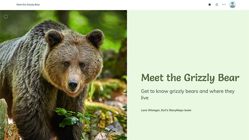
Are you one of the many educators who use ArcGIS StoryMaps as a teaching tool? If you’re using ArcGIS StoryMaps in your K-12 classroom, this article will show you how to create a self-check quiz so your students can check their content comprehension while they read the story. A new workflow using ArcGIS Survey123 makes it more convenient than ever to integrate self-assessments into your stories.

Using self-check quizzes
Self–checks are a helpful tool for both students and educators. Students can use this tool to gauge their reading comprehension and understanding of class materials. And educators can use it to assess whether the lesson is effective or if they need to make adjustments in the lesson. This is particularly useful when sharing your content asynchronously, or assigning students content to view before a discussion, for example, in a flipped classroom experience. Self-checks using this workflow may also be helpful for students who need to learn at their own pace.
Self-check in action
To get a better idea of how you can use this “knowledge check” workflow to augment reading comprehension we created a story about colorful beaches that uses an embedded Survey123. In this Colorful Beaches story we discuss weathering and erosion and how it applies to beaches, specifically, to beaches with unusual colored sand. To help students check that they comprehend the material we cover, we include a self-assessment at the end of the story. The self-check questions include links that refer the student back to the section of relevant material they should review if their answer is incorrect.
This story and quiz are meant to be an example that shows you how to create your own lesson plans in story format to help you meet your specific needs. Educators who have local standards to meet may have to create educational resources that use maps, and ArcGIS StoryMaps are an effective tool for that.
For example, if you’re a 3rd grade teacher in Alpharetta, Georgia, who needs to teach a lesson about the Blue Ridge Mountains and the wildlife that live nearby, you can use a map in your story about wildlife and then ask your students to informally assess their comprehension within the story before you give them a formal assessment. Of course, there are plenty of other examples of local standards that you may need to meet, or instances where mass-produced materials don’t work for your needs and ArcGIS StoryMaps can help you effectively deliver lessons to your students.
Workflow
It’s worth reiterating that this knowledge self-check is meant to help students understand where they need to review information, and this workflow is not meant to be a formal or graded assessment.
We’ve created the video below that demonstrates the steps that you will follow to create a self-check using Survey123.
Requirements
You will need access to ArcGIS StoryMaps and Survey123 through your account in your ArcGIS Online Organization, which K-12 institutions in the United States can access at no cost. Talk to your ArcGIS Online administrator to ensure you have the required applications, ArcGIS StoryMaps and Survey123, assigned to your account.
Here are the steps to get started:
- Open a new ArcGIS StoryMap story and create a new Survey123 survey.
- Add the content you want to include a knowledge check about to your story.
- If you haven’t already written them, write and save your questions and responses in a separate document.
- Add relevant questions to your survey.
- Ensure the required conditional formatting is in place on the survey questions including that the questions and responses are grouped together in the survey.
- Complete and publish the survey, ensuring that the survey is shared publicly.
- Embed the survey in the accompanying story. Publish your story.
Educational resources
In the Colorful Beaches story, we also made use of the audio block to add narration at the end of each paragraph, which supports striving-reader learners and English language learners. To learn more about this, check out the blog post How to support emergent readers with ArcGIS StoryMaps, which provides a workflow for creating stories for your classroom.
As promised, below are some resources to help you get started using ArcGIS StoryMaps in your classroom.
Getting started with ArcGIS StoryMaps introduces storytellers to some of the basic techniques.
This YouTube video gives an overview of Beginner Storytelling Techniques.
After you have the basics covered, this video will help you level-up your storytelling skills by showing you Nine Steps to Effective Storytelling.
For more ideas on how you can use the ArcGIS Online platform in your classroom check out the Esri Education Community to see how other educators are using ArcGIS StoryMaps and Survey123. We hope that this blog, as well as the members of this community, inspires you to take the leap and start incorporating Survey123 comprehension checks in to your educational stories.
Find us on Twitter and know what you think or if you have suggestions on how we can provide examples of stories that can help you use ArcGIS StoryMaps in your classroom!


Article Discussion: