
In the fast-paced world of geospatial technology, efficiency and accuracy are paramount. With the release of ArcGIS Reality Studio 2025.1, the integration of lidar data in your reconstructions is set to revolutionize the approach to large-scale Reality Mapping production. This powerful feature not only simplifies editing workflows but also saves valuable resources, incrementing quality and completeness compared to imagery only workflows, making it an essential tool for professionals in the Reality Mapping industry.
What is Lidar Data?
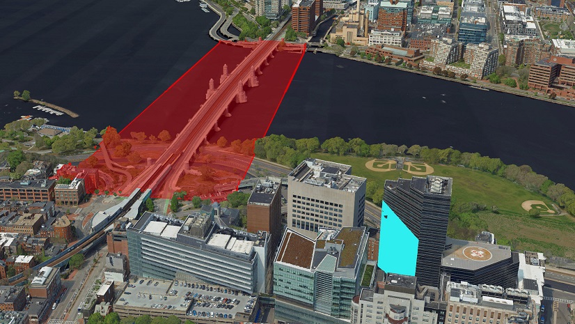
Lidar (Light Detection and Ranging) is an active remote-sensing technique that uses laser light to sample the surveyed area, producing highly accurate 3D point clouds.
In relation to Reality Mapping from Imagery, Lidar technology complements it with its own advantages.
Why Lidar Data Matters
Lidar data complements traditional imagery, especially in challenging environments where the camera struggles to resolve texture. Whether dealing with highly reflective surfaces, low-texture areas (such as strong shadows or large homogeneous surfaces), dense vegetation, or complex urban landscapes, lidar provides additional depth measurements for increased precision and completeness of the geospatial products.

Key Benefits:
- Enhanced Quality: Lidar data significantly improves the completeness and precision of digital surface models (DSMs), True Orthos, and 3D meshes where imagery alone could be insufficient.
- Overcoming Limitations: It addresses the shortcomings of reality mapping in areas that have poor texture, are transparent, shaded, or exhibit stereo-occlusions (such as in very narrow streets on a complex urban scenario), ensuring that no detail is overlooked.

Streamlined Workflow with Lidar Integration
Integrating lidar data into your reconstruction workflow has never been easier. Here’s a brief overview of the essential steps to get started:

Note: before the Reconstruction, Imagery data should undergo Alignment or Aerial Triangulation step.
Reality Studio uses the first return (first echo) of the lidar point clouds, together with the imagery, to support the generation of Reality Mapping products.
Best Practices:
- Acquire lidar and imagery data simultaneously using hybrid mapping systems for optimal results.
- Always verify time synchronization and spatial coverage between sensors before importing into Reality Studio.
- Always ensure a good registration between the lidar and imagery.

Conclusion
The integration of lidar data in ArcGIS Reality Studio is a transformative feature that empowers professionals to elevate their geospatial products. By simplifying workflows and enhancing data quality, this powerful tool not only saves time and resources but also enables teams to deliver more precise and visually complete results.
Embrace the future of mapping production with lidar in Reality Studio and unlock the full potential of your geospatial datasets.
You can learn more about lidar in Reality Studio by reading the documentation and the Best Practices in the community.
No lidar data available? Learn about improving reconstruction results in Reality Studio through Editing.

Article Discussion: