December 16, 2024 | Tom Sweet | Imagery & Remote Sensing Enterprise Information Pipeline Transformed with the Speed of Life
November 12, 2024 | Reanne Barrette | Imagery & Remote Sensing What’s New in ArcGIS Reality (November 2024)
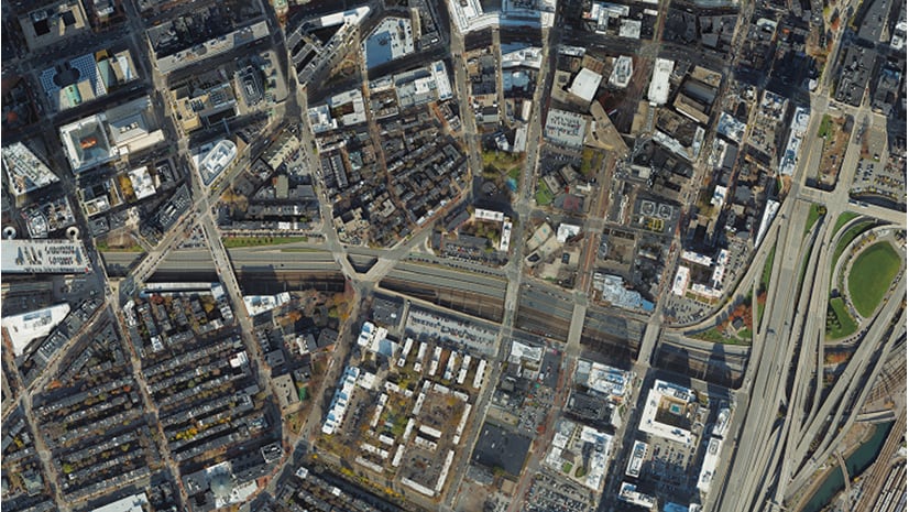
October 20, 2024 | Multiple Authors | 3D Visualization & Analytics Create accurate water body geometries for Reality Mapping with ArcGIS Pro
October 8, 2024 | Ivonne Seler | 3D Visualization & Analytics Case study: How to maintain a statewide mesh for a digital twin?
September 20, 2024 | Multiple Authors | Imagery & Remote Sensing A Sneak Peek at ArcGIS Reality Studio 2024.3
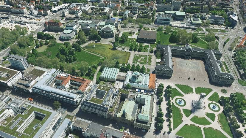
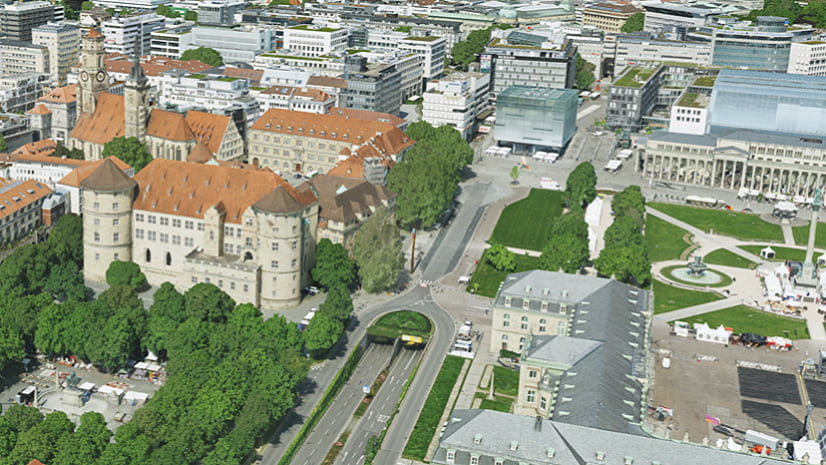
February 19, 2024 | Florian Fischer | Imagery & Remote Sensing Stuttgart 3D – Creating Foundational Content for an Even Smarter City
February 6, 2024 | Kristen Maglia | Imagery & Remote Sensing Photogrammetry Meets Efficiency: Discover the Latest in Large-Area Reality Mapping with ArcGIS Reality Studio
January 18, 2024 | Asaf Even Paz | Education Imagery and GIS – a long relationship being reimagined by Esri
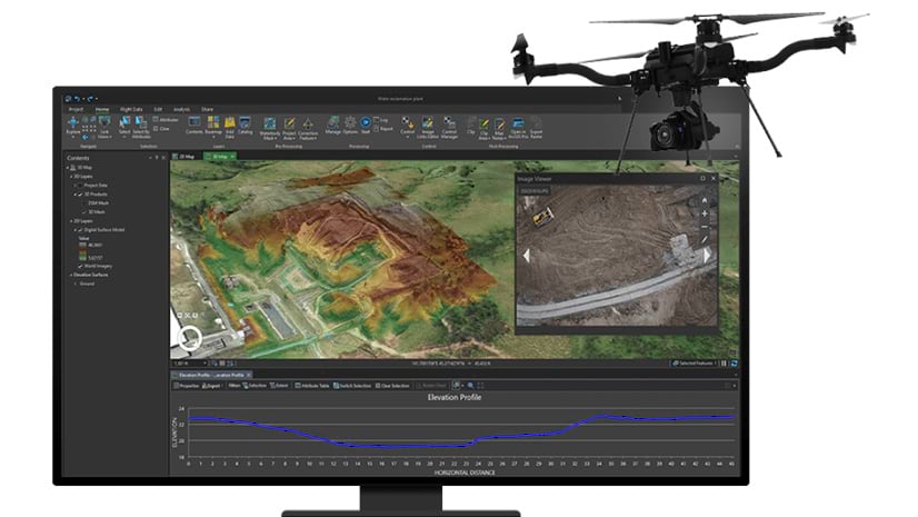
October 16, 2023 | Multiple Authors | Imagery & Remote Sensing Automating Reality Mapping: Accelerate Your Drone Workflows with ArcGIS Reality for ArcGIS Pro
August 16, 2023 | Multiple Authors | Imagery & Remote Sensing Five Considerations When Implementing an Enterprise Imagery Solution
July 18, 2023 | Kristen Maglia | Imagery & Remote Sensing Three Key Trends in Imagery and Remote Sensing from Esri UC 2023
July 11, 2023 | Kristen Maglia | Imagery & Remote Sensing Unveiling a new user group for imagery and remote sensing
July 3, 2023 | Multiple Authors | 3D Visualization & Analytics 3D GIS and Digital Twin at the 2023 Esri User Conference
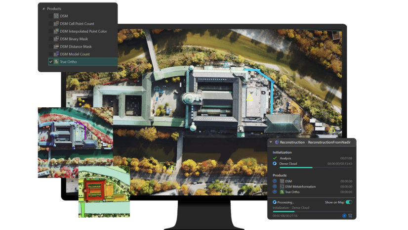
April 10, 2023 | Asaf Even Paz | Imagery & Remote Sensing True Orthos – A Valuable Product You Should Re-Think
October 31, 2022 | Reanne Barrette | Imagery & Remote Sensing The Different Types of Ortho Images Created in ArcGIS