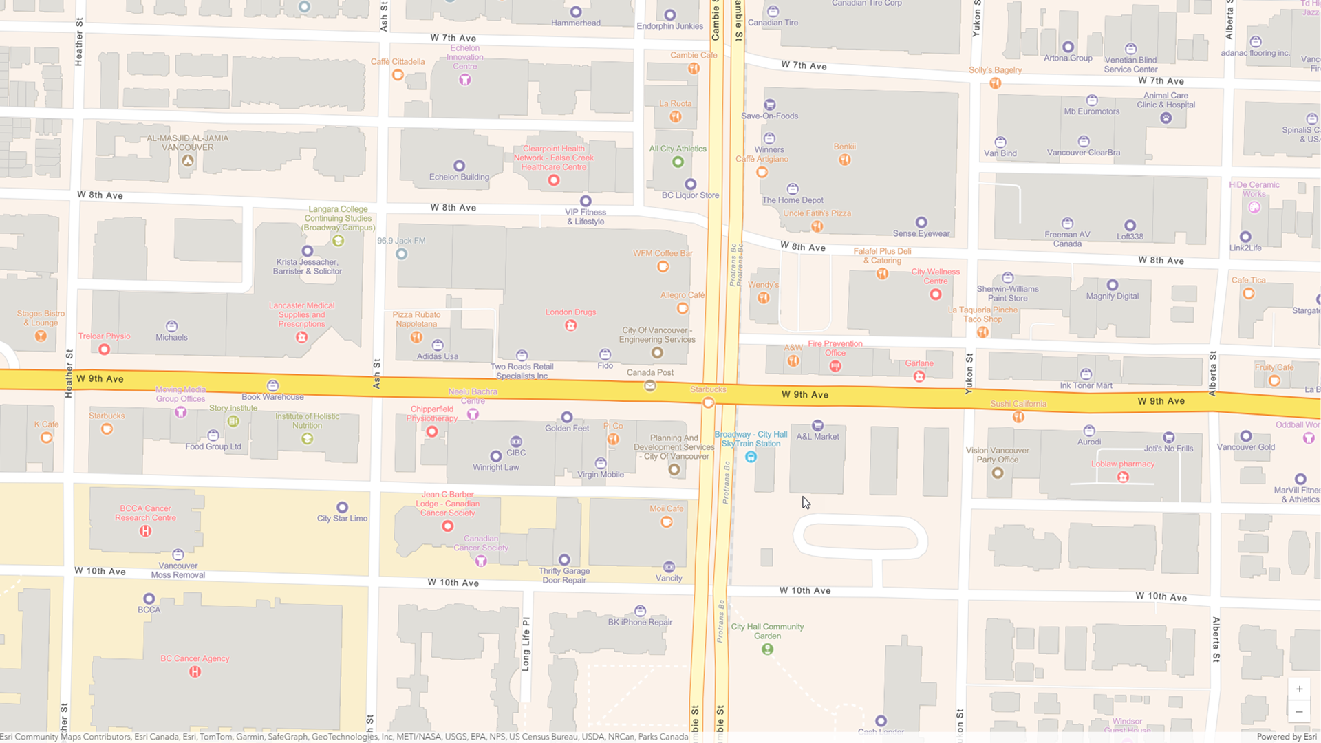
The June 2025 online release introduces significant updates to Esri’s Points of Interest (POI) data, which are essential for informed decision-making and provide a timely view of a dynamic geographic landscape.
Why Updated POI Data Matters
- Reflects Change: Geographic landscapes are in constant flux, with businesses frequently opening, closing, rebranding, or relocating to meet changing consumer preferences. Updated POI data captures these shifts, providing a clear picture of what’s happening in various communities. For instance, if a popular restaurant closes, this information will be reflected in the data, allowing businesses to adjust their strategies accordingly.
- Community Insights: The addition or decline of public services and facilities can signal the growth of new communities or the evolution of established ones. For example, the opening of a new school or park may indicate an influx of families into an area. By analyzing POI data, stakeholders can better understand trends, such as demographic shifts, and anticipate future changes, helping them to plan for infrastructure needs or service offerings.
- Improved Mapping and Analysis: Accurate and up-to-date POI data enhances mapping capabilities, leading to more reliable analyses. These characteristics support better decision-making for businesses, urban planners, and local governments. For instance, urban planners can use updated POI data to assess the need for new public transport routes or community services based on the locations of new businesses and residential areas.
In summary, the updated POI data from Esri’s June 2025 release equips users with the information they need to navigate and respond to an evolving landscape effectively.
Highlights of the June 2025 Release of ArcGIS Places
- Updated Data for Businesses: The release includes updated ArcGIS Places data describing businesses in the U.S. and Canada. This data includes associated firmographics such as estimated revenue, employee counts, and business types based on data from Data Axle.
- Global POI Data: The updated ArcGIS Places data includes data based on Foursquare’s POI data, describing various categories of POI across more than 170 countries and territories.
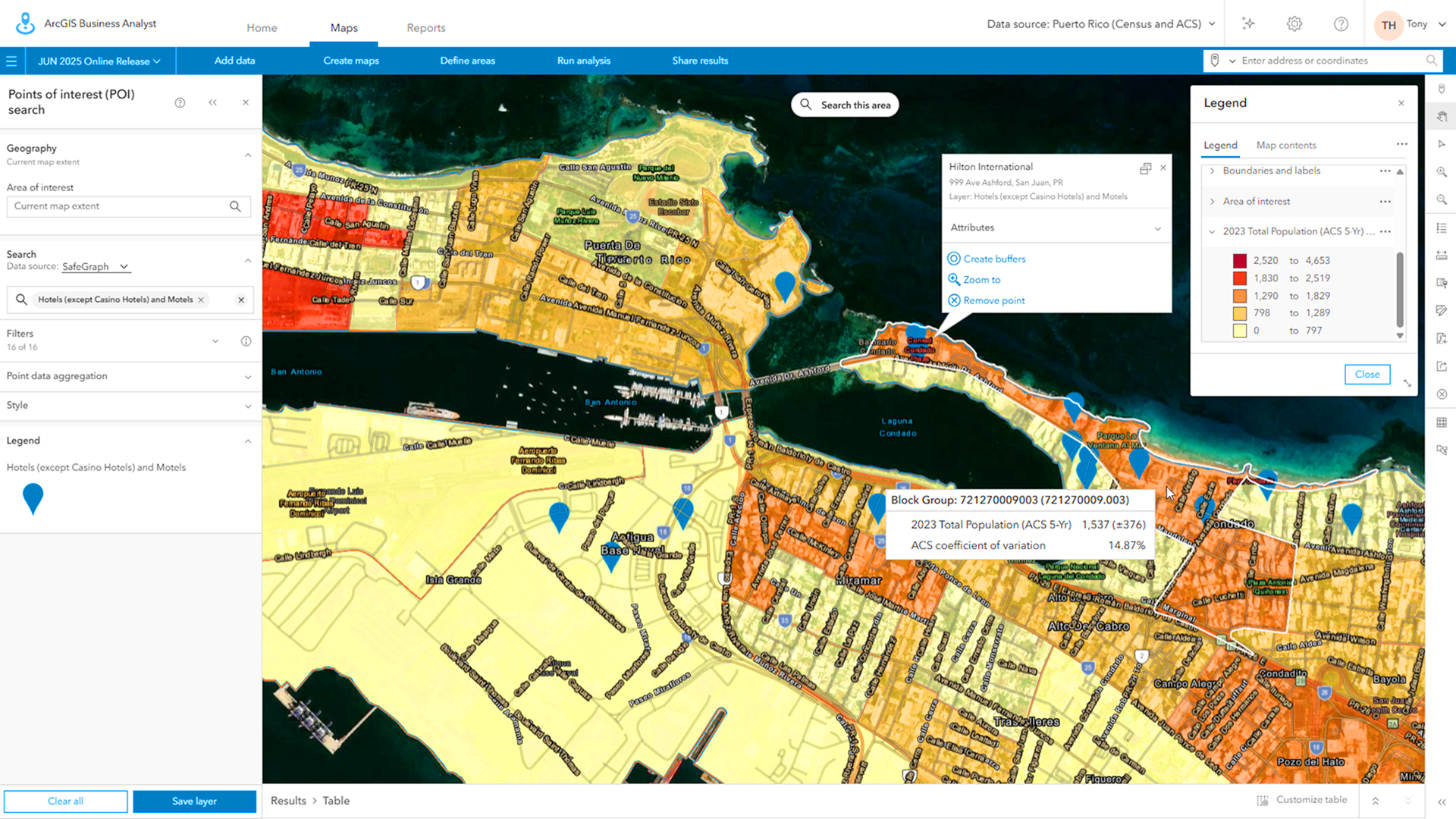
- Enhanced Coverage: Updated ArcGIS Places data based on data from SafeGraph provides extensive coverage and valuable attributes for places in Canada, the U.S., and Puerto Rico.
Access Methods

Discover various ways to access the updated ArcGIS Places data including the following:
- ArcGIS Business Analyst Web App: This powerful suite of tools is designed for site selection, market analytics, and more. Users can perform in-depth analyses to identify the best locations for new businesses based on demographic data and existing market conditions.
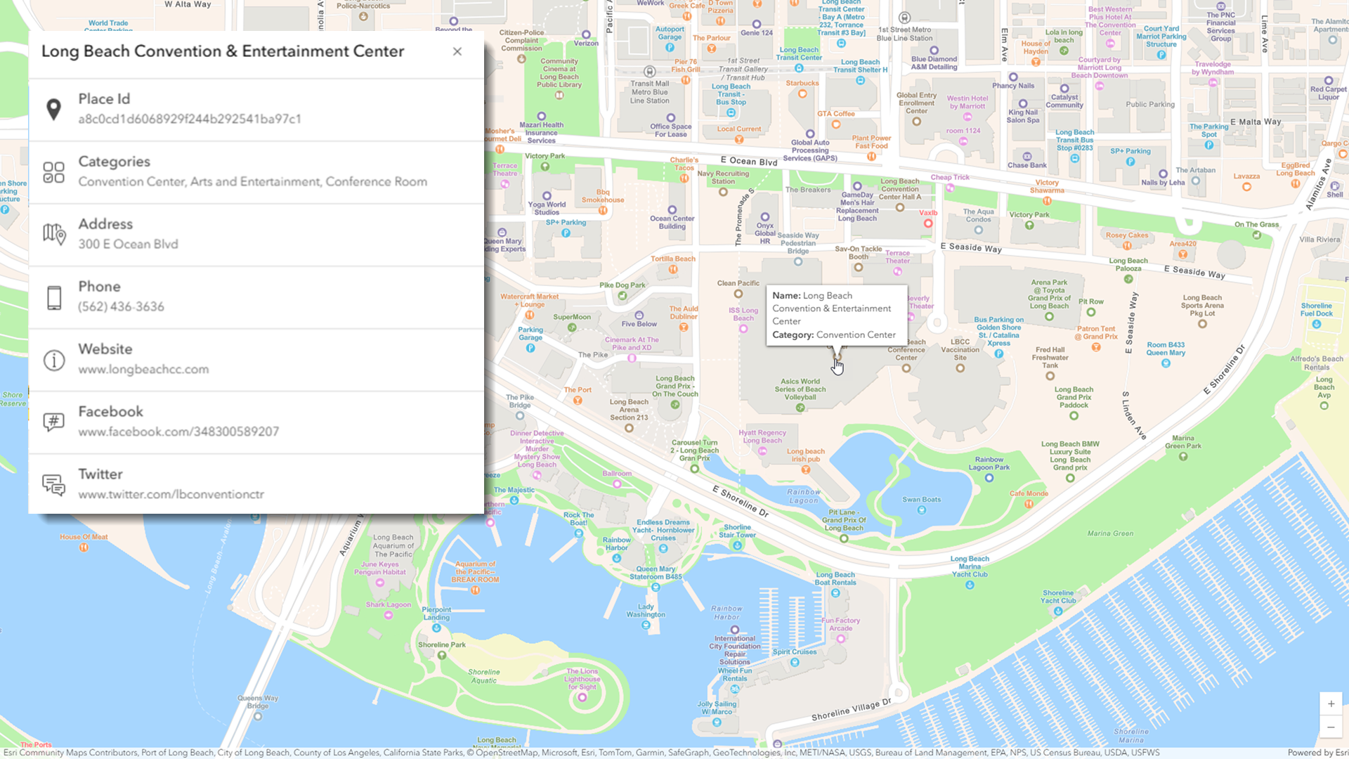
- ArcGIS Places Service: The Places service, part of the ArcGIS Location Platform, provides developers with access to flexible POI search and mapping capabilities. This service supports various ArcGIS Maps SDKs, scripting APIs, and open-source libraries, enabling developers to create custom applications that leverage POI data.
- ArcGIS GeoEnrichment: Through ArcGIS GeoEnrichment capabilities, users can analyze their areas of interest and gain valuable insights related to the location, type, and distribution of POI. Key features include:
- Data Enrichment: Users can obtain area-based business summaries such as total business and employee counts by industry. This information can be crucial for market research and competitive analysis. Explore the “Business” category in the data browser to view available industry categories and attributes.
- Reporting Capabilities: Users can generate reports containing ArcGIS Places data. Examples include the Business Summary report, which provides an overview of businesses in a specified area, the Business Locator report, which helps users find businesses that meet specific criteria, and the Eating Places Infographic, which visually represents dining options in a given location.
Conclusion
ArcGIS Places is a vital resource for users across various industries. It supports mapping, analysis, and decision-making needs by providing valuable location-based context for applications such as mapping, data visualization, search, routing, and data science. With the June 2025 release, organizations can gain deeper insights and make more informed decisions based on accurate and timely data. This enhanced capability empowers businesses and governments to respond effectively to the challenges and opportunities presented by their dynamic environments.


Article Discussion: