What’s new in Esri Demographics (February 2026)
The February 2026 update to Esri Demographics refreshes key U.S. datasets, expands European coverage with the addition of new boundaries, and introduces new variables to help users analyze markets with greater precision.
U.S. updates
Business Summary
The Business Summary dataset has been updated to the December 2025 vintage. This dataset provides aggregated counts of businesses by type within defined geographies, supporting competitive analysis, site selection, and market sizing. Business Summary updates occur three times per year and are sourced from Data Axle.
- Important reminder: SIC code variables will be removed in June 2026. Users should transition workflows to NAICS code variables ahead of this change. See Esri’s Data Axle documentation page for additional information on this removal.

Crime Indexes
The Crime Indexes dataset has been updated to the 2025B vintage (from 2024A). This refresh ensures that analysts and public safety organizations are working with the most current modeled crime estimates. This dataset is sourced from Applied Geographic Solutions (AGS).
Traffic Counts
The Traffic Counts dataset has been updated to Q4 2025, continuing Esri’s triannual refresh cycle.
Updated states include the following: Alabama, Delaware, Florida, Kentucky, Michigan, Minnesota, Mississippi, Montana, Texas, and Utah.
Expanded Europe coverage and new boundaries across standard demographics
This release brings updated standard demographics across both Western Europe and Eastern Europe, giving users broader coverage and more consistent data for cross-regional analysis.
Esri standard demographics provide a consistent data source and methodology across more than 170 countries or regions. Many data variables are homogenous across these regions, allowing users to easily compare global markets and communities. The data source is Michael Bauer Research (MBR).
New Nomenclature of Territorial Units for Statistics (NUTS) boundaries
While both regions include refreshed 2025 data vintages, this release introduces the availability of Nomenclature of Territorial Units for Statistics (NUTS) boundaries across Eastern and Western Europe. This boundary is the EU’s standardized geographic framework used to compare economic, demographic, and social indicators across countries. The framework is hierarchical. Larger socioeconomic regions sit at the top level (NUTS 1), followed by mid-tier regions commonly used for funding allocation and policy planning (NUTS 2), and then smaller subregional areas that support localized analysis (NUTS 3).
For organizations conducting pan-European market sizing, investment modeling, or policy research, NUTS geographies provide a standardized lens for comparison that administrative or postal boundaries alone cannot deliver.
The following are new NUTS boundaries and new associated geography groups:
- Popular (This group includes the existing geography levels and combines admin and postal codes)
- Admin (Just the administrative levels)
- Postal (Just the postal levels)
- NUTS (Nomenclature of territorial units for statistics)
If a user plans to conduct a pan-European analysis, NUTS is often the preferred boundary system.
Western Europe
The data for Western Europe includes 25 updated countries. Users will see expanded socioeconomic detail that includes the reintroduction of detailed educational attainment variables alongside household income distributions (including new data for Türkiye). Household composition metrics and marital status indicators have also been introduced in select countries, adding new ways to understand how populations are structured. Labor force indicators, such as unemployment, further strengthen the region’s economic profile and provide additional context for workforce and market analysis.
Eastern Europe
The data for Eastern Europe includes 20 updated countries and delivers refreshed 2025 demographic data, strengthening the foundation for regional market and population analysis. The release also reintroduces detailed education variables, providing deeper insight into workforce qualifications and talent distribution. These updated regional statistical boundaries will improve geographic accuracy and alignment for cross-country comparisons, making it easier to evaluate growth markets, investment opportunities, and expansion strategies across the region.
Advanced demographics enhancements
Esri advanced demographics provide a detailed set of data within a country or region and include more data variables or finer levels of geography than those available through standard demographics. Advanced demographics are available for a limited set of countries or regions.
Germany
Germany’s advanced demographics dataset has been updated from 2024 to 2025, introducing new planning and forecasting variables.
The new data includes the following:
- Projected population for 2040
- Population density per square kilometer
- Average cold rent offer per square meter
Settlement points have also been refreshed using updated residential building centroids, improving spatial accuracy for urban planning and real estate analysis.
Japan
Japan’s advanced demographics dataset incorporates multiple updated sources and vintages, including census, household, economic, and consumer datasets.
Examples include the following:
- Economic Census data
- Housing and Land Survey data
- Consumer spending estimates
- Income and savings data
- Future population projections
These additions provide a more holistic view of Japanese consumers and regional economies.

Thailand
Thailand demographics have been refreshed to the 2024 vintage, ensuring current insights for Southeast Asia market analysis.
Learn more about how users can access Esri Demographics:
ArcGIS Online and ArcGIS Pro
- Use the Enrich Layer tool to append location-based data to points, lines, or polygons.
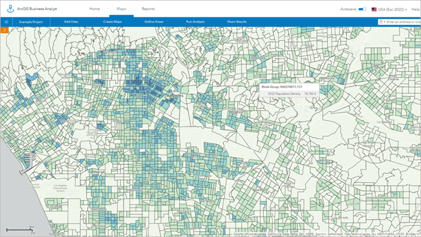
- Identify sites and evaluate markets withArcGIS Business Analyst, a demographic mapping software.
ArcGIS Location Platform
Enhance workflows and apps and enrich data with additional location-based information about people and places in a specific area.
ArcGIS for Excel
Use the ArcGIS for Excel app in Microsoft Excel to access demographic data via the ENRICHBYGEOGRAPHY function.
Team email: demographics@esri.com

Article Discussion: