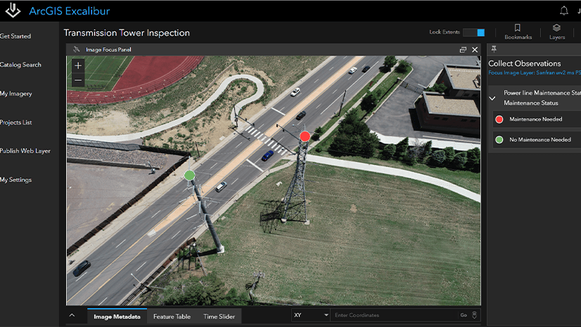
July 27, 2022 | Multiple Authors | Imagery & Remote Sensing ArcGIS Excalibur: Preventing service interruptions with remote inspection
May 6, 2022 | Beau Legeer | Imagery & Remote Sensing 2022 Imagery and Remote Sensing Trends in the GeoINT community
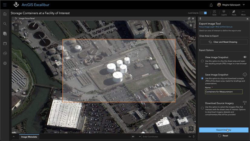
December 9, 2021 | Megha Kakaraparti | Imagery & Remote Sensing Use the Export Image tool for your presentations in ArcGIS Excalibur
November 30, 2021 | Multiple Authors | Imagery & Remote Sensing What’s New in ArcGIS Excalibur (November 2021)
October 6, 2021 | Multiple Authors | Imagery & Remote Sensing What’s Coming in ArcGIS Excalibur (November 2021)
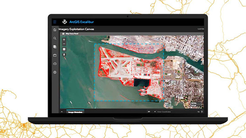
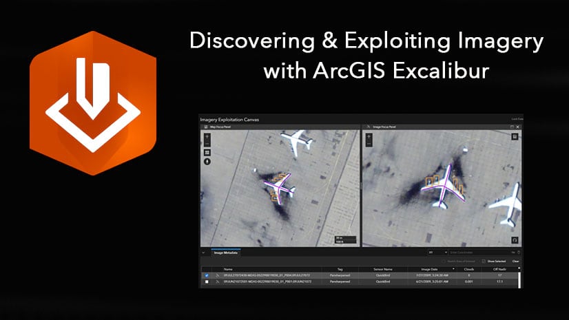
June 28, 2021 | Kenyon Wilker | Imagery & Remote Sensing Discovering and Exploiting imagery with ArcGIS Excalibur
June 15, 2021 | Multiple Authors | Imagery & Remote Sensing Using ArcGIS Excalibur for Observation Management
March 16, 2021 | Megha Kakaraparti | Imagery & Remote Sensing Use ArcGIS Excalibur for Imagery Exploitation to Identify Key Activity
December 15, 2020 | Jamon Johnson | Imagery & Remote Sensing ArcGIS Excalibur December 2020 Release is Here!
October 19, 2020 | Megha Kakaraparti | Imagery & Remote Sensing Create an imagery project in ArcGIS Excalibur using a python script
September 24, 2020 | Matthew Calamito | Imagery & Remote Sensing Upload Imagery for Use in ArcGIS Excalibur
September 21, 2020 | Jamon Johnson | Imagery & Remote Sensing ArcGIS Excalibur adds access to OGC standard imagery services with WMS
September 11, 2020 | Megha Kakaraparti | Imagery & Remote Sensing What’s New in ArcGIS Excalibur (September 2020)
May 30, 2019 | Matthew Calamito | Imagery & Remote Sensing Visit the ArcGIS Excalibur Team at the GEOINT Symposium 2019!