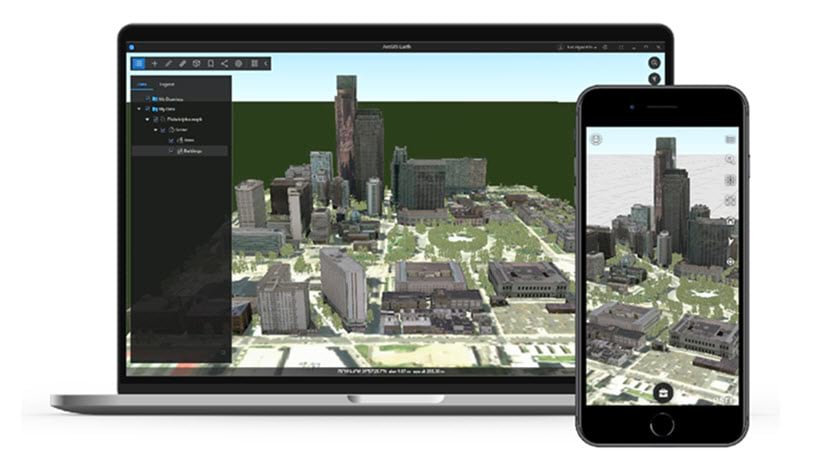
October 21, 2019 | Story Maps Community | Sharing and Collaboration Digging into archaeological research through digital storytelling
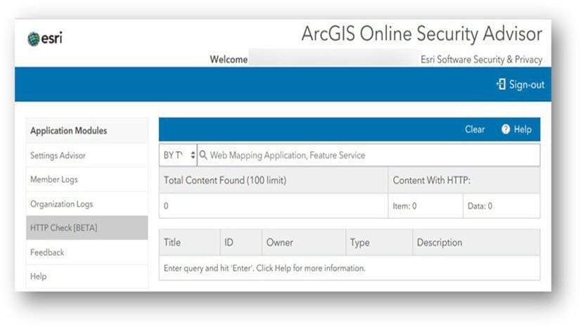
October 17, 2019 | Michael Young | Administration Action Required to Continue using SAML with ArcGIS Online
October 11, 2019 | Jennifer Bell | Mapping Reference Size Maps: Learning from the ’60s with a new mapping theme
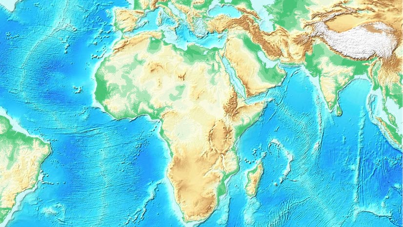
October 7, 2019 | Rajinder Nagi | Imagery & Remote Sensing High resolution data updates to Living Atlas World Elevation Layers (Oct 2019)
October 2, 2019 | Jordan Cullen | Business ArcGIS Business Analyst for ArcGIS Pro: Tools, Features, and Resources
September 12, 2019 | Randall Williams | Administration It’s time to update your ArcGIS License Manager!
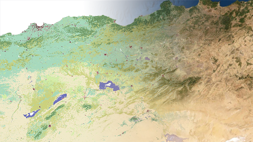
September 10, 2019 | Multiple Authors | Imagery & Remote Sensing Pixel Editor: Creating useful classified raster data
September 3, 2019 | Colin Childs | Data Management Explore attribute fields and data validation in ArcGIS Pro
August 29, 2019 | Hussein Nasser | Electric & Gas Utilities Utility Network is now on ArcGIS Runtime 100.6
August 26, 2019 | Multiple Authors | Analytics Creating accumulative cost surfaces using directional data
August 26, 2019 | Allen Carroll | Sharing and Collaboration Judging the StoryMapper of the Year contest
August 22, 2019 | Story Maps Community | Sharing and Collaboration Helping Syrian refugees share their stories with Esri Story Maps
August 20, 2019 | Multiple Authors | Sharing and Collaboration ArcGIS StoryMaps Live! Join us for a new webinar series
August 19, 2019 | Story Maps Community | Education Ten tips for using Survey123 and Esri Story Maps in your classroom
August 15, 2019 | Story Maps Community | Constituent Engagement Communicating emergency management through digital storytelling
July 26, 2019 | Kyle R. Cassal | State and Provincial Government Reapportionment Projections and the Potential Impact of New States